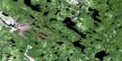
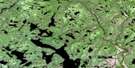
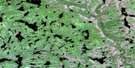
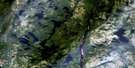
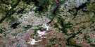
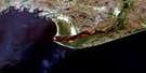
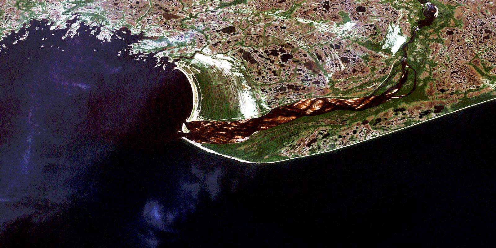
Natashquan Satellite Image Map
Download Free Aerial Photo 012K04 at 1:50,000 scale
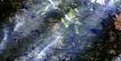
Natashquan Satellite Imagery
To view this satellite map, mouse over the air photo on the right.
You can also download this satellite image map for free:
012K04 Natashquan high-resolution satellite image map.
Maps for the Natashquan aerial map sheet 012K04 at 1:50,000 scale are also available in these versions:
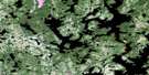
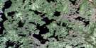
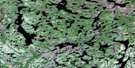
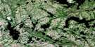
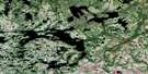
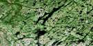
Natashquan Surrounding Area Aerial Photo Maps
 |
 |
 |
 |
 |
 |
 |
 |
 |
 |
 |
 |
 |
 |
 |
 |
© Department of Natural Resources Canada. All rights reserved.
Natashquan Gazetteer
The following places can be found on satellite image map 012K04 Natashquan:
Natashquan Satellite Image: Air navigation features
Aéroport de NatashquanNatashquan Satellite Image: Bays
Anse à JohnAnse chez Polite
Anse du Jardin à Célestine
Anse du Ruisseau
Baie de Natashquan
Baie Landry
Baie Uahtauakau
Baie Westabonca
Barachois à Simon
Havre à Scott
Havre de Natashquan
Havre des Canadiens
La Grande Baie
La Prée
Le Duck
Le Foin à Adolphe
Le Foin à Désiré
Le Petit Havre
L'Échouerie
Natashquan Satellite Image: Beaches
Barre NatashquanPlage Mistanekau
Natashquan Satellite Image: Capes
Cap BlancCap Tiennot
Le Gros Cap
Pointe au Sauvage
Pointe Collas
Pointe de la Grande Baie
Pointe de Natashquan
Pointe de Pierre
Pointe du Vieux Poste
Pointe Noire
Natashquan Satellite Image: Channels
Détroit de Jacques-CartierLe Grand Goulet
Le Petit Goulet
Le Rigolet
Natashquan Satellite Image: Falls
Chute NihChute Nihu
Chute Uinipek
Chute Uinipeku
Natashquan Satellite Image: Geographical areas
AguanishDuval
Kegaska
L'Immaculée-Conception
L'Immaculée-Conception
Natashquan
Natashquan Satellite Image: Indian Reserves
Natashquan Indian Reserve 1Réserve indienne Natashquan 1
Natashquan Satellite Image: Islands
Caye à ErnestÎle à Cajeton
Île à Edgard
Île au Vieux Sapin
Île aux Américains
Île aux Goélands
Île Beacon
Île Boisée de l'Est
Île Boisée de l'Ouest
Île Brûlée
Île de Pierre
Île du Bouquet de Bois
Île du Phare
Île Joncas
Île Louis
Île Plate
Île Sainte-Hélène
Île Scott
Île Thériault
Îles Rouges
Îlet Shag
Le Cabochon
Rocher des Fous de Bassan
Rocher Ganner
Rocher Gannet
Rocher Noir
Rocher Sphinx Nord
Rocher Sphinx Sud
Natashquan Satellite Image: Lakes
Lac MistapukuahtshipekLac Taueunan
Lacs Kanekauakamat
Natashquan Satellite Image: Miscellaneous
Poste de NatashquanNatashquan Satellite Image: Mountains
Le MorneLes Dunes
Mont Joli
Natashquan Satellite Image: Plains
Les PlainesNatashquan Satellite Image: Rapids
Rapide de l'EstRapide du Nord
Natashquan Satellite Image: Rivers
Petite rivière NatashquanPetite rivière Natashwuan
Rivière de la Grande Baie
Rivière de l'Étang
Rivière des Plaines
Rivière Longue
Rivière Natashquan
Rivière Rapide de la Grande Baie
Rivière Rapide des Plaines
Rivière Uahtauakau
Rivière Westabonka
Ruisseau à Pétote
Ruisseau Alexis
Ruisseau de la Trappe
Ruisseau du Havre des Canadiens
Ruisseau du Midi
Ruisseau du Moulin
Ruisseau du Quart
Ruisseau Kuahkuetshuahu
Ruisseau Uahtauakau
Natashquan Satellite Image: Shoals
Banc CarbonneauBanc Cod
Banc de Natashquan
Brisants Central
Brisants du Centre
Brisants Landry
Récifs Vigneault
Natashquan Satellite Image: Unincorporated areas
AguanusLes Galets
Natashquan
Natashquan
Pointe-Parent
Natashquan Satellite Image: Villages
AguanishNatashquan
© Department of Natural Resources Canada. All rights reserved.
012K Related Maps:
012K Musquaro012K01 Baie Des Loups
012K02 Gethsemani
012K03 Kegashka
012K04 Natashquan
012K05 Lac Paimpont
012K06 Lac Kegashka
012K07 Lac Washicoutai
012K08 Lac Coacoachou
012K09 Lac Wabouchagamou
012K10 Lac Cauchy
012K11 Lac D'Auteuil
012K12 Lac Victor
012K13 Lac Rancin
012K14 Lac Durocher
012K15 Lac Goyelle
012K16 Lac De Re
