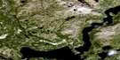
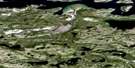
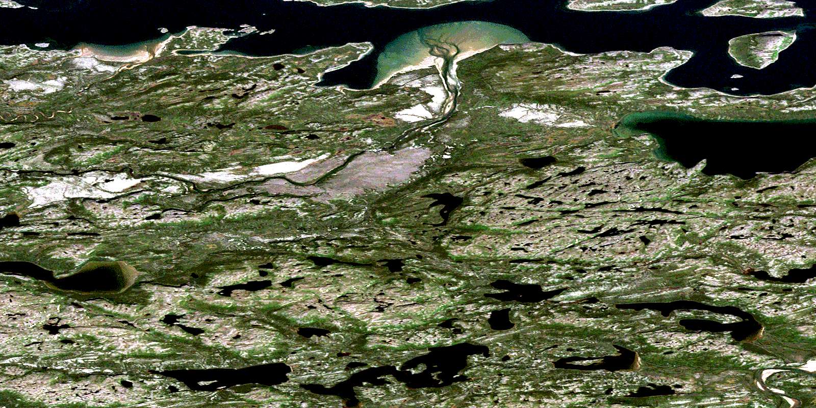
Garland Bight Satellite Image Map
Download Free Aerial Photo 014C04 at 1:50,000 scale
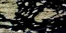
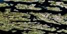
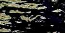
Garland Bight Satellite Imagery
To view this satellite map, mouse over the air photo on the right.
You can also download this satellite image map for free:
014C04 Garland Bight high-resolution satellite image map.
Maps for the Garland Bight aerial map sheet 014C04 at 1:50,000 scale are also available in these versions:
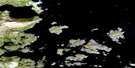
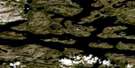
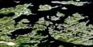
Garland Bight Surrounding Area Aerial Photo Maps
 |
 |
 |
|
 |
 |
 |
|
 |
 |
 |
|
 |
 |
 |
© Department of Natural Resources Canada. All rights reserved.
Garland Bight Gazetteer
The following places can be found on satellite image map 014C04 Garland Bight:
Garland Bight Satellite Image: Bays
Bobs CoveGarland Bight
Little Bight
Merrifield Bay
Old Harbour
Voisey Bay
Garland Bight Satellite Image: Beaches
Browns River ShoreGarland Shore
Kiditak Shore
Water Shore
Garland Bight Satellite Image: Capes
Garland PointLittle Point
Uibyak Peninsula
Garland Bight Satellite Image: Channels
Headforemost TickleInside Tickle
Kiditak Tickle
The Tickle
Garland Bight Satellite Image: Islands
Bar IslandBig Island
Cuff Island
Fish Island
Kidlektaluk Island
Koivak
Konrads Island
Outer Island
Toma Island
Umiakovikoluk Island
Uncle Johns Big Island
Upper Big Island
Water Island
Garland Bight Satellite Image: Lakes
Tasialuk LakeGarland Bight Satellite Image: Mountains
Garland Hat HillGarland Bight Satellite Image: Rivers
Browns RiverKogaluk River
Konrad Brook
Notakwanon River
Otter Brook
Side Brook
Toma Brook
© Department of Natural Resources Canada. All rights reserved.
