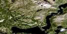
Nain Satellite Image Map
Download Free Aerial Photo 014C12 at 1:50,000 scale
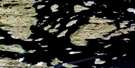
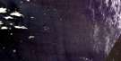
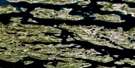
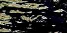
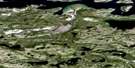
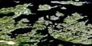
Nain Satellite Imagery
To view this satellite map, mouse over the air photo on the right.
You can also download this satellite image map for free:
014C12 Nain high-resolution satellite image map.
Maps for the Nain aerial map sheet 014C12 at 1:50,000 scale are also available in these versions:
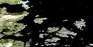
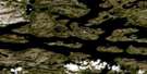
Nain Surrounding Area Aerial Photo Maps
 |
 |
 |
|
 |
 |
 |
|
 |
 |
 |
|
 |
 |
 |
© Department of Natural Resources Canada. All rights reserved.
Nain Gazetteer
The following places can be found on satellite image map 014C12 Nain:
Nain Satellite Image: Bays
Akpiksai BayChallenger Cove
Conch Bay
Egypt Harbour
Kauk Harbour
Meta Cove
Nain Bay
Sachem Bay
Saporak
Ten Mile Bay
Tikkoatokak Bay
Two Mile Bay
Unity Bay
Webb Bay
Nain Satellite Image: Capes
Base PointCape Toski
Cape Williams
Cleat Point
Itilialuk Peninsula
Northern Point
Rattle Point
Sandy Point
Saporatsuk
Southern Point
Topsy Point
Webb Point
Webbs Point
West Base Point
Nain Satellite Image: Channels
Harmony RunShoal Tickle
Strathcona Run
Nain Satellite Image: Islands
Barth IslandBase Island
Hillsbury Island
Hillsbury Island (Bennet Island)
Kruger Kop Island
Lopear Island
Nest Island
Paul Island
Pitsy Island
Rhodes Island
Skua Islet
South Aulatsivik Island
Stony Islet
The Turnpikes
Nain Satellite Image: Mountains
Camp HillItilialuk Hill
Iviyanguyak Peaks
Low Point Hill
Mount Lister
Nixon Hill
Riflesight Hill
Sakotalik Summit
Satosuakuluk Hill
Seal Hill
Ship Hill
South Channel Cairn
The Consul
Tikkiraluk Hill
Two Stone Hill
Webb Knoll
Nain Satellite Image: Rapids
First RattleNain Satellite Image: Rivers
Fraser RiverTrout Brook
Upper Trout Brook
Nain Satellite Image: Shoals
Challenger KnollPetchs Patch
Strathcona Rocks
Nain Satellite Image: Unincorporated areas
Kauk BightNain Satellite Image: Villages
Nain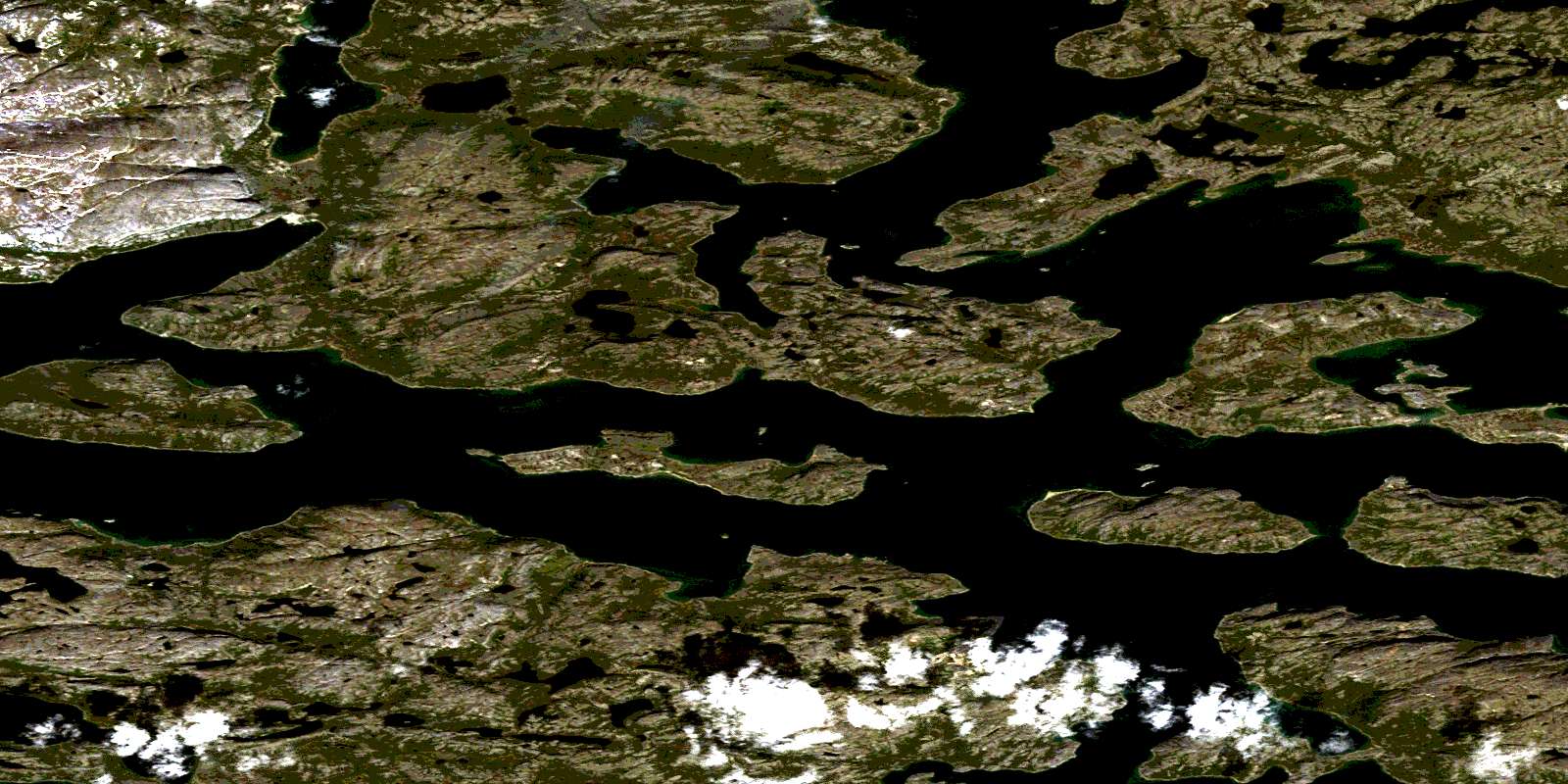
© Department of Natural Resources Canada. All rights reserved.
