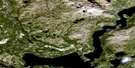
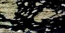
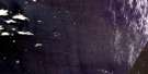
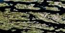
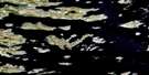
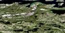
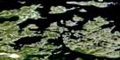
Dog Island Satellite Image Map
Download Free Aerial Photo 014C11 at 1:50,000 scale
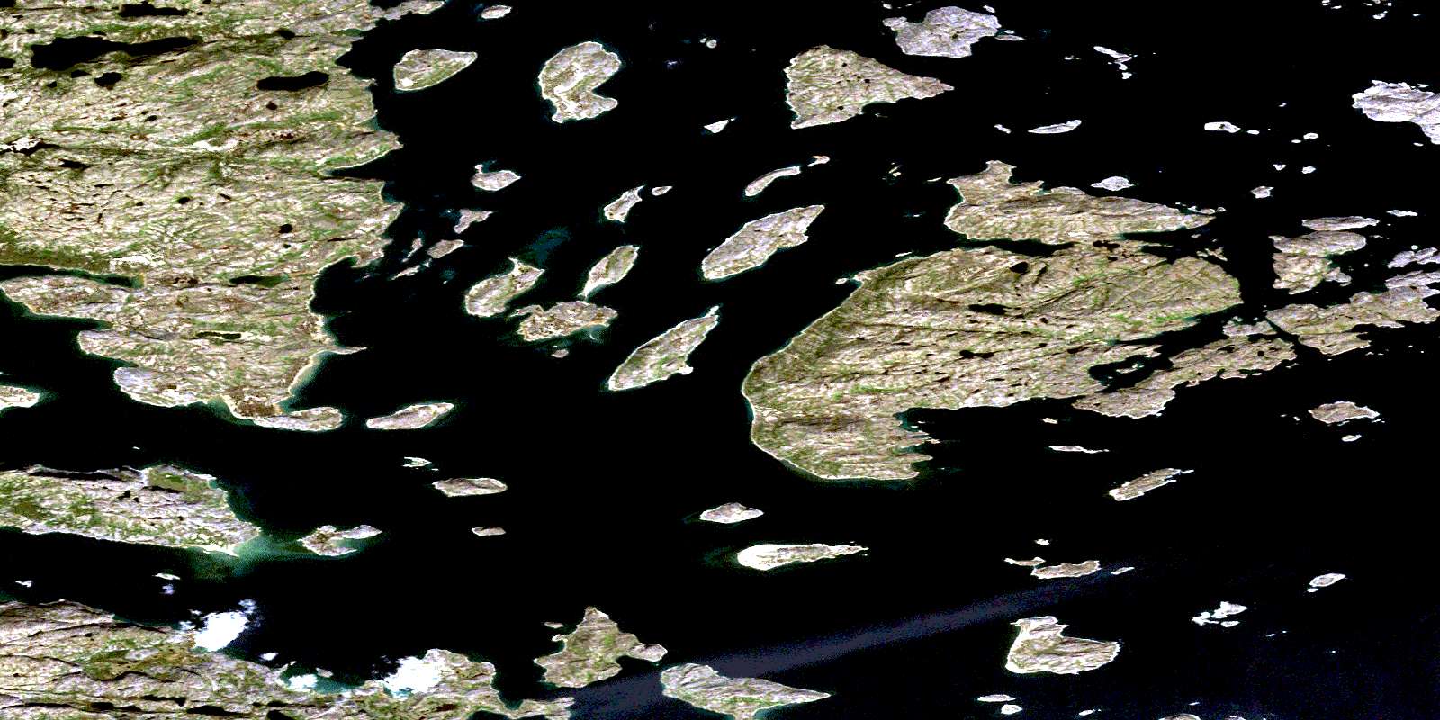
Dog Island Satellite Imagery
To view this satellite map, mouse over the air photo on the right.
You can also download this satellite image map for free:
014C11 Dog Island high-resolution satellite image map.
Maps for the Dog Island aerial map sheet 014C11 at 1:50,000 scale are also available in these versions:
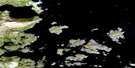
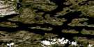
Dog Island Surrounding Area Aerial Photo Maps
 |
 |
 |
|
 |
 |
 |
|
 |
 |
 |
|
 |
 |
 |
© Department of Natural Resources Canada. All rights reserved.
Dog Island Gazetteer
The following places can be found on satellite image map 014C11 Dog Island:
Dog Island Satellite Image: Bays
Dog BightEvilik Bay
Gull Arm
Indian Cove
Lower Bight
Red Bay
September Harbour
St. John's Harbour
The Hatchery
Youngs Harbour
Dog Island Satellite Image: Capes
Hayes PointItibliasuk Peninsula
White Point
Dog Island Satellite Image: Channels
Clarkes TickleHarmony Run
Queens Lakes Tickle
Soapstone Tickle
Strathcona Run
Dog Island Satellite Image: Cliffs
Red CliffDog Island Satellite Image: Islands
Amikoyuak IslandBaker Island
Bald Island
Cap Islet
Carey Island
Central Island
Club Island
Dog (High) Island
Dog Island
Dugong Islet
Dumbell Island
East Red Island
Fermoy Island
Grampus Islet
Henry Island
Hillsbury Island
Hillsbury Island (Bennet Island)
Imilikuluk Island
Jenks Island
Karl Oom Islands
Koliktalik Island
Kruger Kop Island
Loon Island
Marshall Island
Mary Island
Misfit Island
Moskie Island
Myrtle Island
Natsutuk Island
Noazunakuluk Island
Noazunaluk Island
North Carey Island
Paul Island
Pillar Islet
Piller Islet
Red Islands
Sandy Island
Shot Islet
Sigrakuluk Island
Siorakuluk Island
Skull Island
South Aulatsivik Island
Spruce Island
Starvation Island
Turtle Islet
Uigomigak Island
Uiraluk Island
Web Island
West Red Island
Whale Island
Dog Island Satellite Image: Mountains
Alagaiai HillAmerak
Ballybrack Hill
Eve Knoll
Hayes Cone
Naksaluk Hill
Needles Knoll
Nuluk Knoll
Oakes Cone
South Hill
The Peak
Dog Island Satellite Image: Seas
Labrador SeaMer du Labrador
Dog Island Satellite Image: Shoals
Challenger RockPat Rocks
Rattle Rock
Red Rocks
Tiddler Rock
© Department of Natural Resources Canada. All rights reserved.
