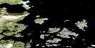
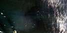
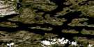
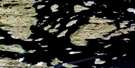
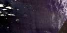
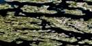
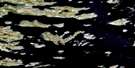
Port Manvers Run Satellite Image Map
Download Free Aerial Photo 014C13 at 1:50,000 scale
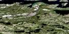
Port Manvers Run Satellite Imagery
To view this satellite map, mouse over the air photo on the right.
You can also download this satellite image map for free:
014C13 Port Manvers Run high-resolution satellite image map.
Maps for the Port Manvers Run aerial map sheet 014C13 at 1:50,000 scale are also available in these versions:
Port Manvers Run Surrounding Area Aerial Photo Maps
 |
 |
 |
|
 |
 |
 |
|
 |
 |
 |
|
 |
 |
 |
© Department of Natural Resources Canada. All rights reserved.
Port Manvers Run Gazetteer
The following places can be found on satellite image map 014C13 Port Manvers Run:
Port Manvers Run Satellite Image: Bays
Caplin BayKolotulik Bay
Mills Harbour
Port Manvers
Tigalak Inlet
Webb Bay
Port Manvers Run Satellite Image: Capes
Anchor PointApproach Point
Challenger Point
Cleat Point
Hare Point
Red Point
Port Manvers Run Satellite Image: Channels
Pierrepont CanalPort Manvers Run
Ram Tickle
Port Manvers Run Satellite Image: Cliffs
Eddy CliffPort Manvers Run Satellite Image: Islands
Double IslandsIgloo Island
South Aulatsivik Island
Port Manvers Run Satellite Image: Lakes
Kolotulik LakePort Manvers Run Satellite Image: Mountains
Kolotulik HillMan O'War Peak
Mist Hill
Nottingham Mountains
Webb Hill
Port Manvers Run Satellite Image: Rapids
Second RattlePort Manvers Run Satellite Image: Rivers
Florence RiverMan O'War Brook
Webb Brook
Port Manvers Run Satellite Image: Unincorporated areas
Iglosuatiliratsuk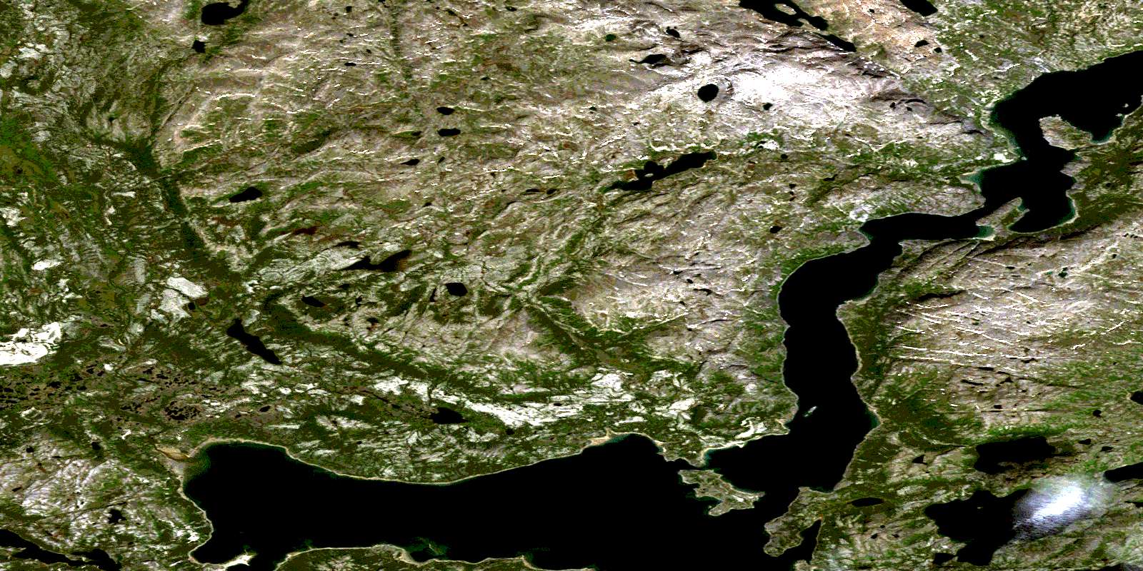
© Department of Natural Resources Canada. All rights reserved.
