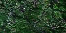
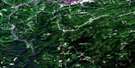
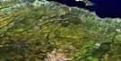
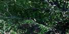
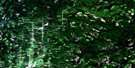
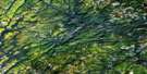
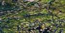
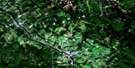
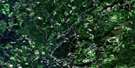
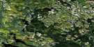
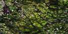
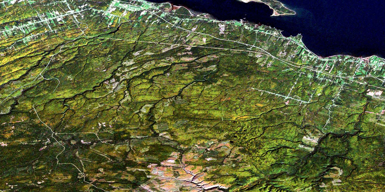
Charlo Satellite Image Map
Download Free Aerial Photo 021O16 at 1:50,000 scale
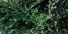
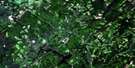
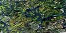
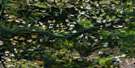
Charlo Satellite Imagery
To view this satellite map, mouse over the air photo on the right.
You can also download this satellite image map for free:
021O16 Charlo high-resolution satellite image map.
Maps for the Charlo aerial map sheet 021O16 at 1:50,000 scale are also available in these versions:
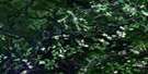
Charlo Surrounding Area Aerial Photo Maps
 |
 |
 |
 |
 |
 |
 |
 |
 |
 |
 |
 |
 |
 |
 |
 |
© Department of Natural Resources Canada. All rights reserved.
Charlo Gazetteer
The following places can be found on satellite image map 021O16 Charlo:
Charlo Satellite Image: Bays
Baie des ChaleursCanning Cove
Chaleur Bay
Dickie Cove
McKinnon Cove
Razor Cove
Shoal Bay
Charlo Satellite Image: Beaches
Fenderson BeachCharlo Satellite Image: Capes
Black HeadBlack Land Point
Black Point
Blackland Point
Bryant Point
Bryants Point
Dickie Point
Douglas Point
Dutchs Point
Hamilton Point
Hoeggs Point
Parent Point
Parents Point
Pointe la Roche
Pointe La Roche
Valette Point
West Point
West Point
Charlo Satellite Image: Channels
Heron ChannelCharlo Satellite Image: Falls
McKinnon FallsCharlo Satellite Image: Geographical areas
BalmoralColborne
Dalhousie
Durham
Restigouche
Charlo Satellite Image: Islands
Cricket IslandFleming Island
Heron Island
West Point Island
Charlo Satellite Image: Lakes
Basket LakeHayes Lake
Henry Lake
Hickey Lake
Island Lake
Lower Jack Burns Lake
Oak Pond
Pothole Lake
Roberts Pond
Round Lake
Three Corner Lake
Upper Jack Burns Lake
Windsor Lake
Charlo Satellite Image: Mountains
Bald MountainBig Hole Hill
Blue Mountain
Lavignes Hill
Charlo Satellite Image: Conservation areas
Benjamin River Provincial ParkHeron Island Provincial Park Reserve
Charlo Satellite Image: Plains
Davidsons FlatsCharlo Satellite Image: Rivers
Antinouri Lake BrookBenjamin River
Benjamin River
Big Hole Brook
Big Ramsay Brook
Big Ramsay Brook
Blackland Brook
Blueberry Creek
Carr Brook
Charlo River
Connors Brook
Dickie Brook
Dickie Brook
Dickie Cove Brook
Eel Brook
Eel River
Falls Gulch Brook
Flann Brook
Hamilton Brook
Hamilton Brook
Indian Brook
Jacquet River
Lake Brook
Lake Brook
Landry Brook
Little Black Brook
Little Dickie Brook
Little Flat Landing Brook
Little McLean Brook
Little Ramsay Brook
Little Ramsay Brook
Long Pond Brook
Louison Creek
Louison River
Louison River
Lower McNair Brook
Lower South Branch Jacquet River
Lower South Jacquet River
Marks Brook
McIntoshs Brook
McLean Brook
McLean Gulch Brook
McNair Brook
McNeill Brook
Meadow Brook
Middle Branch Eel River
Middle Brook
Middle Eel River
Middle Eel River
Mountain Brook
Murchie Brook
Narrows Brook
Nash Creek
Nash Creek
New Mills Brook
New Mills River
Nigadoo River
Nigadu River
North Benjamin River
North Branch Benjamin River
North Branch Charlo River
North Branch Eel River
North Branch Nash Creek
North Branch Nigadoo River
North Charlo River
North Eel River
North Nash Creek
North Nigadoo River
Ramsay Brook
Ramsay Brook
Reid Brook
Robert Brook
Roberts Brook
Rocky Brook
South Benjamin River
South Branch Benjamin River
South Branch Eel River
South Branch Nash Creek
South Charlo River
South Eel River
South Jacquet River
South Nash Creek
Two Mile Brook
Upper McNair Brook
Wildcat Brook
Winton Gulch
Charlo Satellite Image: Shoals
Heron RockSeal Rock
Thrum Rock
Charlo Satellite Image: Unincorporated areas
Archibald SettlementBecketville
Benjamin River
Bernard Settlement
Black Land
Black Point
Blackland
Charlo Station
Dickie
Doyleville
Durham Centre
Gravel Hill
Halfway
Heron Island
Hickey Settlement
Jacquet River
Jacquet River Station
Lapointe Settlement
Lorne
McMillan
Mitchell Settlement
Mountain Brook
Nash Creek
New Mills
River Charlo
River Louison
Saint-Maure
Sea Side
Selwood
St. Maure
St-Maure
Sunnyside
Upper Balmoral
Upper Crossing
Winton Crossing
Charlo Satellite Image: Valleys
Big GulchCarmichael Gulch
Doyle Gulch
Elfs Gulch
Gooseback Gulch
Hayes Gulch
Laviolette Gulch
Mann Gulch
Peter White Gulch
Pothole Gulch
Stinking Gulch
Charlo Satellite Image: Low vegetation
Doyles MeadowJones Meadow
Charlo Satellite Image: Villages
BalmoralBelledune
Charlo
© Department of Natural Resources Canada. All rights reserved.
021O Related Maps:
021O Campbellton021O01 Big Bald Mountain
021O02 Serpentine Lake
021O03 Riley Brook
021O04 Grand Falls
021O05 Grand River
021O06 Sisson Branch Reservoir
021O07 Nepisiguit Lakes
021O08 California Lake
021O09 Tetagouche Lakes
021O10 Upsalquitch Forks
021O11 Kedgwick
021O12 Gounamitz River
021O13 States Brook
021O14 Menneval
021O15 Atholville
021O16 Charlo
