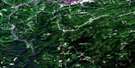
Sisson Branch Reservoir Satellite Image Map
Download Free Aerial Photo 021O06 at 1:50,000 scale
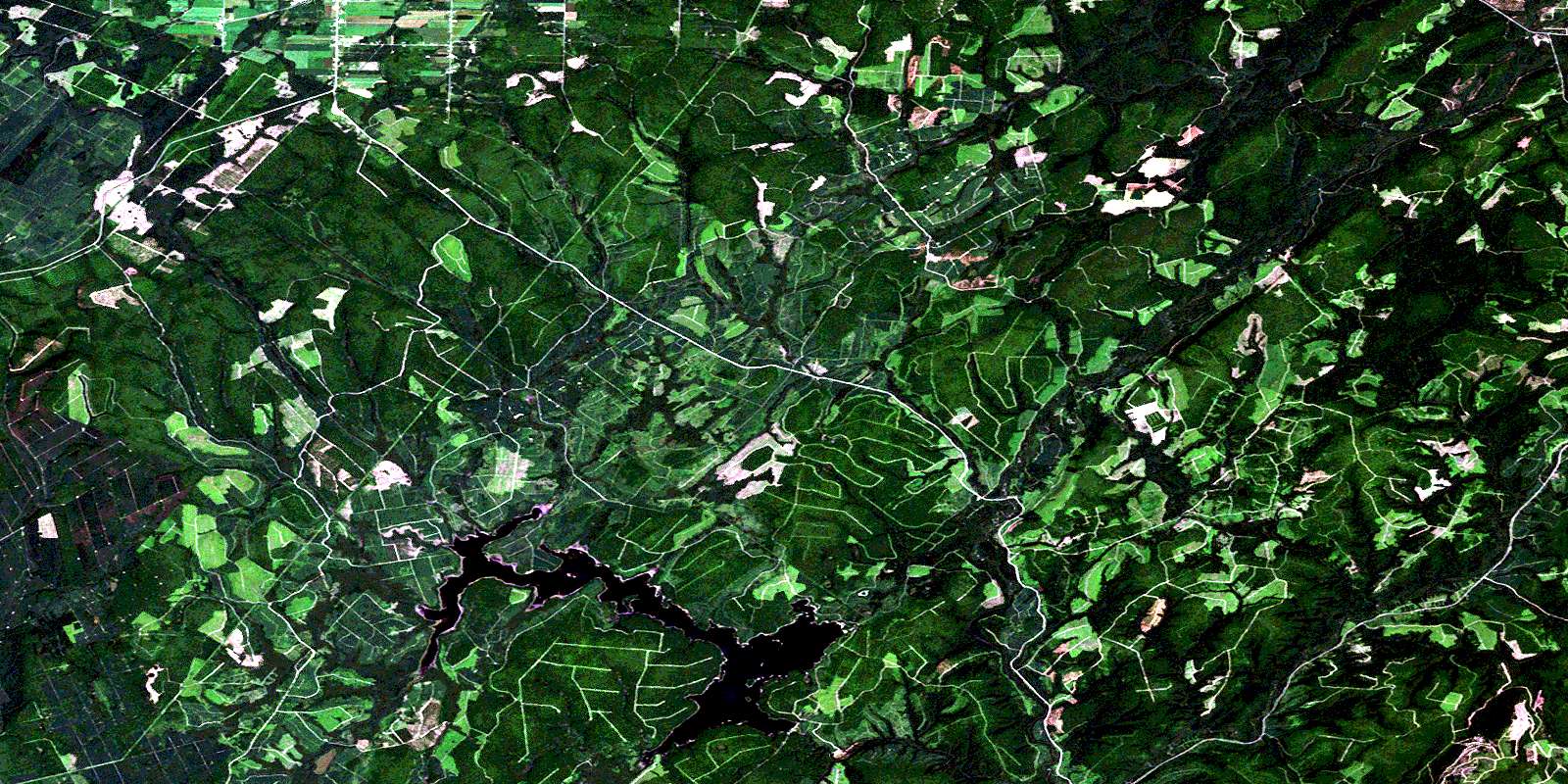
Sisson Branch Reservoir Satellite Imagery
To view this satellite map, mouse over the air photo on the right.
You can also download this satellite image map for free:
021O06 Sisson Branch Reservoir high-resolution satellite image map.
Maps for the Sisson Branch Reservoir aerial map sheet 021O06 at 1:50,000 scale are also available in these versions:
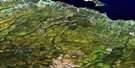
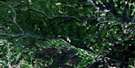
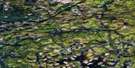
Sisson Branch Reservoir Surrounding Area Aerial Photo Maps
 |
 |
 |
 |
 |
 |
 |
 |
 |
 |
 |
 |
 |
 |
 |
 |
© Department of Natural Resources Canada. All rights reserved.
Sisson Branch Reservoir Gazetteer
The following places can be found on satellite image map 021O06 Sisson Branch Reservoir:
Sisson Branch Reservoir Satellite Image: Geographical areas
DenmarkDrummond
Northumberland
Restigouche
Sisson Branch Reservoir Satellite Image: Lakes
County Line LakeHammond Lake
Lac Tardif
Round Bogan Ponds
Sisson Branch Reservoir
Sisson Lake
Tardif Lake
Sisson Branch Reservoir Satellite Image: Mountains
Gesner RidgeMoose Mountain
Reardon Mountain
Serpentine Mountain
Serpentine Mountains
Sisson Branch Reservoir Satellite Image: Rivers
Barkerhouse BrookBear Brook
Beaver Brook
Beaver Brook
Bernier Brook
Big Brook
Big Cedar Brook
Broad Brook
Bungalow Brook
Carr Brook
Dead Brook
Deadwater Brook
East Branch Pat Brook
East Jardine Brook
Eight Mile Brook
Eightmile Brook
Eleven Mile Brook
Elevenmile Brook
Everett Brook
Five Finger Brook
Five Fingers Brook
Five Mile Brook
Fivemile Brook
Four Mile Brook
Four Mile Brook
Fourmile Brook
Hammond Brook
Hammond Lake Brook
Hashey Brook
Jardine Brook
Jenkins Brook
Jenkins Brook
Left Hand Branch Mamozekel River
Left Hand Branch Wolverton Brook
Left Hand Wolverton Brook
Little Cedar Brook
Little Lawson Brook
Little Tobique River
Little Tobique River (Nictor Branch)
Mamozekel River
Mamozekel River
McDougall Brook
McGee Brook
Middle Brook
Nason Brook
Nine Mile Brook
Ninemile Brook
North Branch Salmon River
North Salmon River
North Sisson Branch
Nowlan Brook
O'Dare Brook
Pat Brook
Pat Brook
Price Brook
Reardon Brook
Red Brook
Right Hand Branch Mamozekel River
Right Hand Branch Trafton Brook
Right Hand Branch Waters Brook
Right Hand Jardine Brook
Right Hand Trafton Brook
Right Hand Waters Brook
Round Bogan Brook
Salmon River
Seven Mile Brook
Sevenmile Brook
Shanks Brook
Sisson Branch
Sisson River
South Branch Mamozekel River
South Mamozekel River
Three Mile Brook
Threemile Brook
Tobique River
Tom Pole Brook
Trafton Brook
Waters Brook
Whitefish Brook
Wilson Brook
Wolverton Brook
Sisson Branch Reservoir Satellite Image: Unincorporated areas
CôtéDrucour
Hazen
Nickel Mill
Rang-Dix
Rang-Douze
Rang-Douze-Sud
Rang-Quatorze
Rang-Seize
Rang-Sept-et-Huit
Sancta Anna
Sisson Branch Reservoir Satellite Image: Valleys
Blind GulchGrindstone Gulch
© Department of Natural Resources Canada. All rights reserved.
021O Related Maps:
021O Campbellton021O01 Big Bald Mountain
021O02 Serpentine Lake
021O03 Riley Brook
021O04 Grand Falls
021O05 Grand River
021O06 Sisson Branch Reservoir
021O07 Nepisiguit Lakes
021O08 California Lake
021O09 Tetagouche Lakes
021O10 Upsalquitch Forks
021O11 Kedgwick
021O12 Gounamitz River
021O13 States Brook
021O14 Menneval
021O15 Atholville
021O16 Charlo
