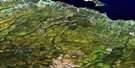
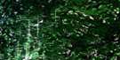
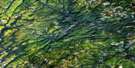
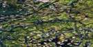
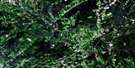
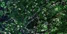
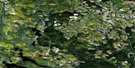
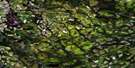
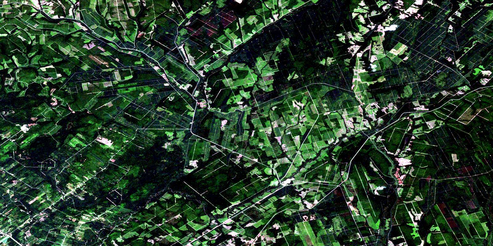
Grand River Satellite Image Map
Download Free Aerial Photo 021O05 at 1:50,000 scale
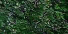
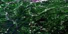
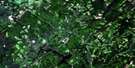
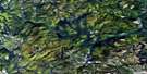
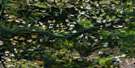
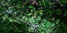
Grand River Satellite Imagery
To view this satellite map, mouse over the air photo on the right.
You can also download this satellite image map for free:
021O05 Grand River high-resolution satellite image map.
Maps for the Grand River aerial map sheet 021O05 at 1:50,000 scale are also available in these versions:
Grand River Surrounding Area Aerial Photo Maps
 |
 |
 |
 |
 |
 |
 |
 |
 |
 |
 |
 |
 |
 |
 |
 |
© Department of Natural Resources Canada. All rights reserved.
Grand River Gazetteer
The following places can be found on satellite image map 021O05 Grand River:
Grand River Satellite Image: Geographical areas
DrummondNotre-Dame-de-Lourdes
Sainte-Anne
Saint-Léonard
Grand River Satellite Image: Lakes
Burgess LakeMud Lake
Quisibis Lake
Siegas Lake
Grand River Satellite Image: Mountains
Quisibis MountainGrand River Satellite Image: Rivers
Alex BrookBeaver Brook
Big Fork Grand River (Grande fourche Grande Rivière)
Big Fork Quisibis River (Grande fourche rivière Quisibis)
Big Forks Brook
Big John Brook
Big Spring Brook
Bijeau Brook
Black Brook
Boston Brook
Brown Brook
Burgess Brook
Cedar Brook
Centre Brook
Claire Brook
Clark Brook
Deadwater Brook
Deadwater Grand River
Depot Brook
East Jardine Brook
Four Mile Brook
Fourche à Clark
Fourmile Brook
Goldstream Brook
Grand River (Grande Rivière)
Grande fourche Grande Rivière
Grande fourche rivière Quisibis
Grande Rivière
Grindstone Brook
Hammond Brook
Hunter Brook
Jardine Brook
Jardine Brook
Kelly Brook
Larry Brook
Left Hand Branch Grindstone Brook
Left Hand Grindstone Brook
Little Beaver Brook
Little Fork Quisibis River (Petite fourche rivière Quisibis)
Little John Brook
Little Main Restigouche River
Little River
Martial Brook
McIntosh Brook
Middle Branch Grindstone Brook
Middle Grindstone Brook
Mud Brook
Perkins Brook
Petite fourche rivière Quisibis
Poitras Brook
Range Brook
Restigouche River
Right Hand Branch Grindstone Brook
Right Hand Branch Jardine Brook
Right Hand Grindstone Brook
Rivière Siegas
Rob Brook
Rocky Brook
Ruisseau à Arsenault
Ruisseau Martial
Ruisseau Noir
Ruisseau Rang-Cinq-et-Six
Russell Brook
Salmon River
Sewell Brook
Siegas River
Taylor Brook
Tedley Brook
Thornton Brook
Violette Brook
Wagan Brook
Wagansis Brook
Wilson Brook
Yellow Brook
Grand River Satellite Image: River features
Big Forks Quisibis RiverLittle Forks Quisibis River
Grand River Satellite Image: Unincorporated areas
Black BrookDubé
Flemming
Flemming Siding
Fourche-à-Clark
Grand River
Hammond
Jardine Brook
Miller Line Cache
Montagne-des-Roy
Notre-Dame-de-Lourdes
Rang Deschenes
Rang-des-Deschêne
Siegas Lake Settlement
Sirois
Sirois
Upper Siegas
Veneer
Violette Brook
Grand River Satellite Image: Valleys
Grindstone GulchOuellette Gulch
Skin Gulch
Therriault Gulch
Therrien Gulch
© Department of Natural Resources Canada. All rights reserved.
021O Related Maps:
021O Campbellton021O01 Big Bald Mountain
021O02 Serpentine Lake
021O03 Riley Brook
021O04 Grand Falls
021O05 Grand River
021O06 Sisson Branch Reservoir
021O07 Nepisiguit Lakes
021O08 California Lake
021O09 Tetagouche Lakes
021O10 Upsalquitch Forks
021O11 Kedgwick
021O12 Gounamitz River
021O13 States Brook
021O14 Menneval
021O15 Atholville
021O16 Charlo
