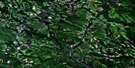
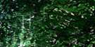
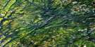
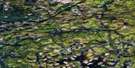
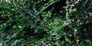
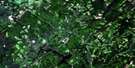
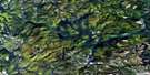
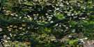
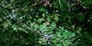
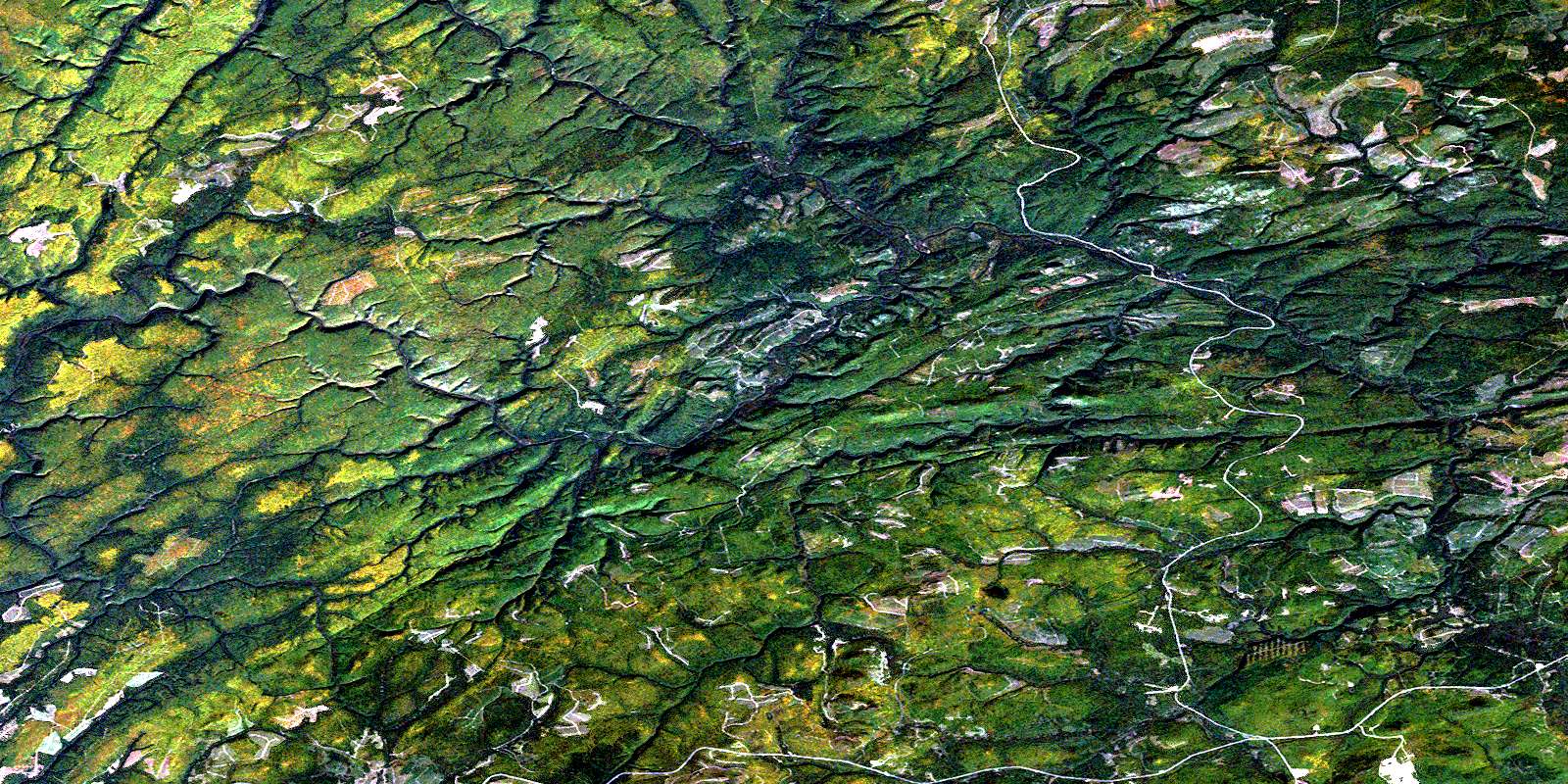
Upsalquitch Forks Satellite Image Map
Download Free Aerial Photo 021O10 at 1:50,000 scale
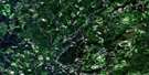
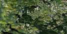
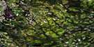
Upsalquitch Forks Satellite Imagery
To view this satellite map, mouse over the air photo on the right.
You can also download this satellite image map for free:
021O10 Upsalquitch Forks high-resolution satellite image map.
Maps for the Upsalquitch Forks aerial map sheet 021O10 at 1:50,000 scale are also available in these versions:
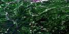
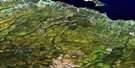
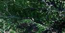
Upsalquitch Forks Surrounding Area Aerial Photo Maps
 |
 |
 |
 |
 |
 |
 |
 |
 |
 |
 |
 |
 |
 |
 |
 |
© Department of Natural Resources Canada. All rights reserved.
Upsalquitch Forks Gazetteer
The following places can be found on satellite image map 021O10 Upsalquitch Forks:
Upsalquitch Forks Satellite Image: Falls
Lower Southeast FallsSoutheast Falls
Upsalquitch Forks Satellite Image: Geographical areas
AddingtonBalmoral
Restigouche
Upsalquitch Forks Satellite Image: Islands
Long Lookum IslandUpsalquitch Forks Satellite Image: Lakes
Acroy LakeAkroyd Lake
Basket Brook
Burntland Lake
Eighteen Mile Lake
McCormack Lake
Portage Lakes
Simpsons Lake
Third Portage Lake
Upsalquitch Forks Satellite Image: Mountains
Akroyd MountainCaribou Mountain
Caribou Ridge
McCormack Mountain
Mount Akroyd
Mount Brittain
Mount Fowler
Mount McCormack
Mount Moser
Naturalists Mountains
Upsalquitch Forks Satellite Image: Rapids
Crooked RapidsUpsalquitch Forks Satellite Image: Rivers
Acroy BrookAkroyd Brook
Akroyd Brook
Burntland Brook
Burntland Lake Branch
Caribou Brook
East Branch Oxford Brook
East Branch Pat Brook
East Oxford Brook
Eighteen Mile Brook
Eighteen Mile Brook
Eighteenmile Brook
Eighteenmile Brook
Eleven Mile Brook
Elevenmile Brook
England Brook
Ferguson Brook
Gordon Brook
Humbug Brook
Jerry Ferguson Brook
Lawson Brook
Little Popelogan Brook
Little Southeast Upsalquitch River
Long Lookum Brook
Lower Indian Brook
Lower Sixteen Mile Brook
Lower Thirteen Mile Brook
Lower Thirteenmile Brook
Lower Twelve Mile Brook
McCormack Brook
McDougalls Brook
McIntyre Brook
Meadow Brook
Middle Brook
Moose Skin Brook
Mooseskin Brook
Murray Brook
Nine Mile Brook
Nine Mile Brook
Ninemile Brook
Nineteen Mile Brook
North Branch Akroyd Brook
North Branch Meadow Brook
North Meadow Brook
North Two Brooks
North Twobrooks
Northwest Upsalquitch River
One Mile Brook
Onemile Brook
Oxbow Brook
Oxford Brook
Pat Brook
Pat Brook
Popelogan River
Portage Brook
Ramsay Brook
Red Brook
Rocky Gulch
Rogers Brook
Simpsons Brook
Six Mile Brook
Sixmile Brook
South Two Brooks
South Twobrooks
Southeast Upsalquitch River
Ten Mile Brook
Tenmile Brook
Thirteen Mile Brook
Twelve Mile Brook
Twelvemile Brook
Upper Indian Brook
Upper Sixteen Mile Brook
Upsalquitch River
Williams Brook
Upsalquitch Forks Satellite Image: River features
Devils ElbowLong Lookum Stretch
Upsalquitch Forks
Upsalquitch Forks Satellite Image: Unincorporated areas
Popelogan DepotRamsay Sheds
Simpsons Field
Southeast Depot
Upsalquitch Forks Satellite Image: Valleys
Carrs GulchCravens Gulch
Eight Mile Gulch
Eightmile Gulch
Fourteen Mile Gulch
Greys Gulch
Greys Gulch
Levesque Gulch
McKenzie Gulch
Moosehide Gulch
Mulligan Gulch
Murray Gulch
Norton Gulch
Reids Gulch
Southeast Gorge
Toad Gulch
Upper Twenty Mile Gulch
© Department of Natural Resources Canada. All rights reserved.
021O Related Maps:
021O Campbellton021O01 Big Bald Mountain
021O02 Serpentine Lake
021O03 Riley Brook
021O04 Grand Falls
021O05 Grand River
021O06 Sisson Branch Reservoir
021O07 Nepisiguit Lakes
021O08 California Lake
021O09 Tetagouche Lakes
021O10 Upsalquitch Forks
021O11 Kedgwick
021O12 Gounamitz River
021O13 States Brook
021O14 Menneval
021O15 Atholville
021O16 Charlo
