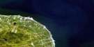
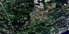
Tracadie Satellite Image Map
Download Free Aerial Photo 021P10 at 1:50,000 scale
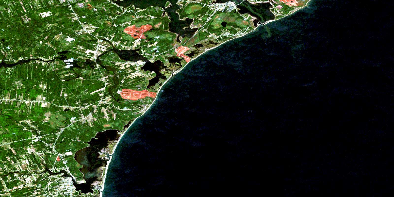
Tracadie Satellite Imagery
To view this satellite map, mouse over the air photo on the right.
You can also download this satellite image map for free:
021P10 Tracadie high-resolution satellite image map.
Maps for the Tracadie aerial map sheet 021P10 at 1:50,000 scale are also available in these versions:
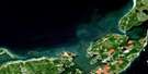
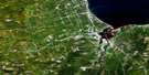
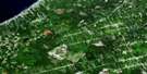
Tracadie Surrounding Area Aerial Photo Maps
 |
 |
 |
|
 |
 |
 |
|
 |
 |
 |
|
 |
 |
 |
 |
© Department of Natural Resources Canada. All rights reserved.
Tracadie Gazetteer
The following places can be found on satellite image map 021P10 Tracadie:
Tracadie Satellite Image: Bays
Baie aux CaribousBaie Brûlé
Baie de Petit-Pokemouche
Baie de Pokemouche
Baie de Shippegan
Baie de Tracadie
Baie Saint-Simon-Nord
Baie Saint-Simon-Sud
Basse Bay
Caribou Bay
Caribou Cove
Golfe du Saint-Laurent
Golfe Saint-Laurent
Grande Anse
Gulf of St. Lawrence
Monroe Cove
Musquash Cove
Nevins Cove
North St. Simon Inlet
Patricks Cove
Shippegan Harbour
Shippigan Harbour
South St. Simon Inlet
Tracadie Satellite Image: Beaches
Pokemouche BeachShippegan Beach
Tracadie Beach
Tracadie Satellite Image: Capes
Caribou PointComeaus Point
Dadys Point
Gibbs Point
Grand Passage
Green Point
Herberts Point
Indian Point
Oak Point
Paschal Point
Pointe à Allard
Pointe à Arseneau
Pointe à Bouleau
Pointe à Chaudron
Pointe à Doran
Pointe à Godin
Pointe à Landry
Pointe à Pascal
Pointe à Philippe
Pointe à Pitro
Pointe à Poulette
Pointe à Thomas
Pointe aux Bouleaux
Pointe aux Caribous
Pointe aux Rats Musqués
Pointe de Pré
Pointe des Boudreau
Pointe des Mazerolle
Pointe des Pins
Pointe Saint-Pierre
Pointe Sauvage
Rivers Point
Sandy Point
Walshs Point
Tracadie Satellite Image: Channels
Boudreau ChannelOld Gully
Old Tracadie Gully
Petit-Pokemouche Gully
Pokemouche Gully
Shippegan Gully
Shippegan Sound
Tracadie Gully
Tracadie North Gully
Tracadie Satellite Image: Geographical areas
CaraquetGloucester
Inkerman
Saint-Isidore
Saumarez
Tracadie Satellite Image: Indian Reserves
Pokemouche 13Tracadie Satellite Image: Islands
Bandy IslandBuckley Island
Burns Island
Île à William
Île au Cheval
Île Lamèque
Munro Island
Polly Island
Sandy Island
Sandy Island
Shippegan Island
Shippigan Island
Taylor Island
Walshs Island
Tracadie Satellite Image: Lakes
Barachois à ColasGull Lake
Lac à Finn
Lac à Martine
Lac Arnée
Lac des Losier
Lac du Goulet
Lac Frank
Lac Grégoire
Lac Inkerman
Lac Scott
Little Pokemouche Lagoon
Mare d'Anguille
Pokemouche Lagoon
Tracadie Lagoon
Tracadie Satellite Image: Conservation areas
Inkerman Migratory Bird SanctuaryRefuge d'oiseaux migrateurs d'Inkerman
Shippagan Provincial Park
Tracadie Satellite Image: Rivers
Boutallier (Poulet) BrookCaribou Brook
Caribou Creek
Cowans Creek
Dukes Brook
Gaspereau Creek
Gliddens Brook
Little Tracadie River
Mahers Brook
Maltampec Brook
McConnell Brook
Nowlans Brook
Pokemouche River
Rivière à Brideau
Rivière Saint-Simon
Ruisseau à Arthur Losier
Ruisseau à Auguste
Ruisseau à Canot
Ruisseau à Fidéle
Ruisseau à Isaac
Ruisseau à Jules
Ruisseau à Lumsden
Ruisseau à Maxime
Ruisseau à McLaughlin
Ruisseau à Paul
Ruisseau aux Caribous
Ruisseau Bar
Ruisseau des Mallet
Ruisseau des Vital
Ruisseau Gaspereau
Ruisseau LeBouthillier
Ruisseau Odilon
Seal Brook
South Branch Pokemouche River
South Pokemouche River
South Pokemouche River
St. Simon River
Trout Stream
Wades Brook
Walshs Brook
Waugh River
Whalens Brook
Whittys Brook
Tracadie Satellite Image: Towns
ShippaganShippegan
Tracadie-Sheila
Tracadie Satellite Image: Unincorporated areas
AlderwoodBlanchard Settlement
Boishébert
Boudreau Road
Centre St. Simon
Centre-Saint-Simon
Chiasson
Cowans Creek
Evangeline
Évangéline
Ferguson
Four Roads
Gaspereau
Gauvreau
Haché Road
Haut-Sainte-Rose
Haut-Saint-Simon
Haut-Shippegan
Haut-Ste-Rose
Inkerman
Inkerman Ferry
Landry
Little Gaspereau
Little Tracadie
Losier Settlement
Lozier Settlement
Maltampec
Pointe-à-Bouleau
Pointe-Sauvage
Pokemouche
Pokemouche Junction
Pont-Landry
Portage de Shippagan
Rivière-à-la-Truite
Sainte-Rose-Gloucester
Saumarez
Shippegan Gully
Shippegan Gully Road
Shippegan Portage
Shippigan
Six Roads
South River
St. Simon
Ste-Rose-Gloucester
Tracadie
Trout Stream
Upper Pokemouche
Upper St. Simon
Upper Ste-Rose
Upper St-Simon
Village Blanchard
Tracadie Satellite Image: Low vegetation
Plover GroundPré à Maher
Tracadie Satellite Image: Villages
Le GouletShippigan
© Department of Natural Resources Canada. All rights reserved.
