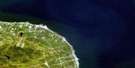
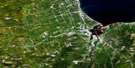
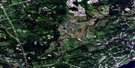
Nepisiguit Falls Satellite Image Map
Download Free Aerial Photo 021P05 at 1:50,000 scale
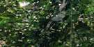
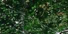
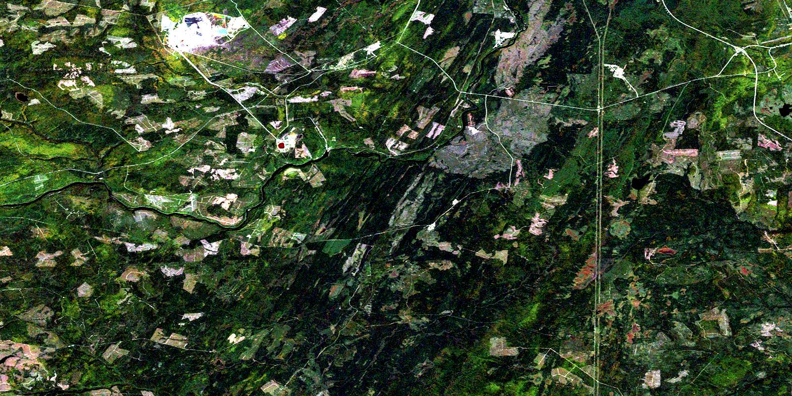
Nepisiguit Falls Satellite Imagery
To view this satellite map, mouse over the air photo on the right.
You can also download this satellite image map for free:
021P05 Nepisiguit Falls high-resolution satellite image map.
Maps for the Nepisiguit Falls aerial map sheet 021P05 at 1:50,000 scale are also available in these versions:
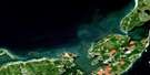
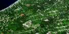
Nepisiguit Falls Surrounding Area Aerial Photo Maps
 |
 |
 |
|
 |
 |
 |
|
 |
 |
 |
|
 |
 |
 |
 |
© Department of Natural Resources Canada. All rights reserved.
Nepisiguit Falls Gazetteer
The following places can be found on satellite image map 021P05 Nepisiguit Falls:
Nepisiguit Falls Satellite Image: Channels
The NarrowsNepisiguit Falls Satellite Image: Falls
Nepisiguit FallsNepisiguit Falls Satellite Image: Geographical areas
AllardvilleBathurst
Gloucester
Newcastle
Northesk
Northumberland
Nepisiguit Falls Satellite Image: Islands
Bear IslandBig Meadow Island
Dicks Island
Duck Island
Middle Island
Round Island
Nepisiguit Falls Satellite Image: Lakes
Bass River LakeEast Branch Lake
Island Lake
Lovalls Lake
North Branch Lake
Pabineau Lake
Russell Lake
Nepisiguit Falls Satellite Image: Rapids
Chain of Rocks RapidsMiddle Landing Rapids
Push and Be Damned Rapids
Nepisiguit Falls Satellite Image: Rivers
Aubrey BrookAustin Brook
Bartibog River
Bass Brook
Bass River
Big Eskedelloc River
Campbell Brook
Coal Branch Brook
Cold Branch Brook
East Bass River
East Branch
East Branch Bass River
East Branch Portage River
East Gordon Meadow Brook
East Portage River
Flat Landing Brook
Fleming Brook
Flemming Brook
Flemming Brook
Gilmour Brook
Gordon Meadow Brook
Hatchery Brook
Kinnears Brook
Knight Brook
Knights Brook
Lake Brook
Lavignes Brook
Lawson Brook
Little Bass River
Little River
Little River
Little South Branch Pabineau River
Little South Branch Tomogonops River
Little South Pabineau River
Little South Tomogonops River
Maliaget Brook
Maliget Brook
McKay Brook
Middle Landing Brook
Muddy Lake Brook
Nepisiguit Brook
Nepisiguit River
Nine Mile Brook
Ninemile Brook
Nipisiguit River
North Bartibog River
North Branch
North Branch Bartibog River
North Branch Tabusintac River
North Branch Tomogonops River
North Ninemile Brook
North Tabusintac River
Number Two Brook
Pabineau River
Portage Brook
Portage River
Red Pine Brook
Reids Brook
Rocky Brook
Rocky Brook
Roughwater Brook
Sandburn Brook
South Branch Little River
South Branch Pabineau River
South Branch Tomogonops River
South Little River
South Pabineau River
South Tomogonops River
Straughan Brook
Sugary Brook
Tabusintac River
Taylor Brook
Tomogonops River
Tomogonops River
Tozer Brook
Upper South Little River
Nepisiguit Falls Satellite Image: Unincorporated areas
Bartibog StationBathurst Mines
Bruce
Brunswick Mines
Middle Landing
Red Pine
Russell
Nepisiguit Falls Satellite Image: Valleys
Pentland GulchNepisiguit Falls Satellite Image: Low vegetation
Doctor Bells MeadowHerman Goods Meadow
© Department of Natural Resources Canada. All rights reserved.
