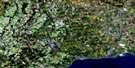
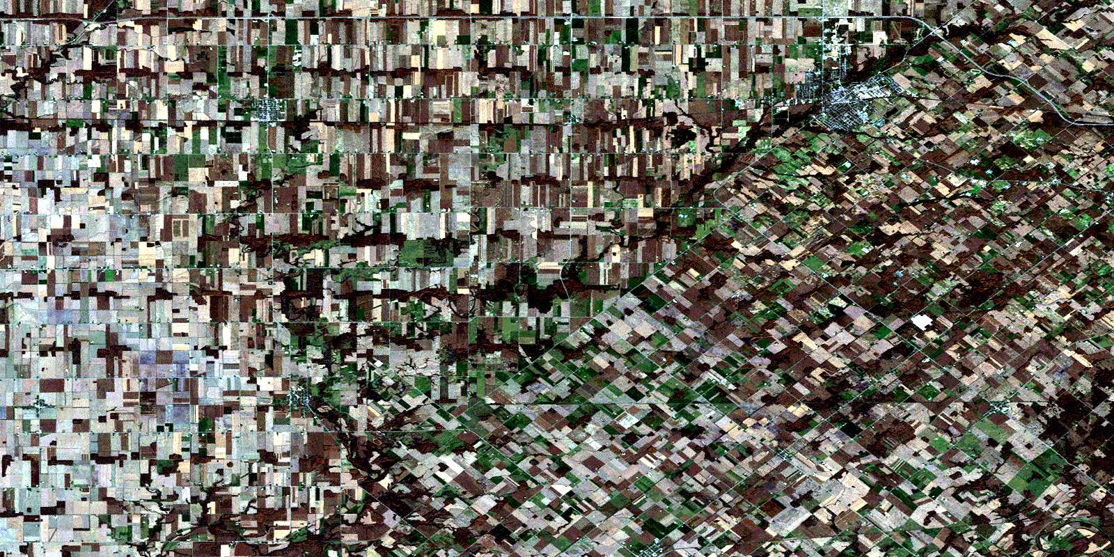
Strathroy Satellite Image Map
Download Free Aerial Photo 040I13 at 1:50,000 scale
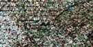
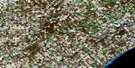
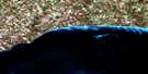
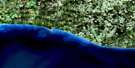
Strathroy Satellite Imagery
To view this satellite map, mouse over the air photo on the right.
You can also download this satellite image map for free:
040I13 Strathroy high-resolution satellite image map.
Maps for the Strathroy aerial map sheet 040I13 at 1:50,000 scale are also available in these versions:
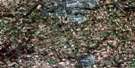
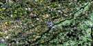
Strathroy Surrounding Area Aerial Photo Maps
 |
 |
 |
 |
 |
 |
 |
 |
 |
|||
© Department of Natural Resources Canada. All rights reserved.
Strathroy Gazetteer
The following places can be found on satellite image map 040I13 Strathroy:
Strathroy Satellite Image: Geographical areas
AdelaideBrooke
Caradoc
Dunwich
Ekfrid
Elgin
Euphemia
Lambton
Lobo
Metcalfe
Middlesex
Mosa
Warwick
Zone
Strathroy Satellite Image: Indian Reserves
Caradoc Indian Reserve 42Chippewas of the Thames First Nation Indian Reserve 42
Munsee-Delaware Nation Indian Reserve 1
Réserve indienne Caradoc 42
Réserve indienne Chippewas of the Thames First Nation 42
Réserve indienne Munsee-Delaware Nation 1
Strathroy Satellite Image: Major municipal/district area - major agglomerations
ElginLambton
Middlesex
Strathroy Satellite Image: Other municipal/district area - miscellaneous
AdelaideAdelaide Metcalfe
Brooke
Brooke-Alvinston
Caradoc
Dawn
Dawn-Euphemia
Delaware
Dunwich
Dutton/Dunwich
Ekfrid
Euphemia
Lobo
London
Metcalfe
Middlesex Centre
Mosa
Southwest Middlesex
Strathroy-Caradoc
Warwick
Strathroy Satellite Image: Conservation areas
Warwick Conservation AreaStrathroy Satellite Image: Rivers
Adelaide CreekBear Creek
Big Munday Creek
Brown Creek
Gentleman Creek
Gold Creek
Hardy Creek
Hogg Creek
Little Bear Creek
Morrogh Creek
Mud Creek
Newbiggen Creek
Rivière Thames
Sydenham River
Thames River
Strathroy Satellite Image: Unincorporated areas
AberfeldyAlvinston
Appin
Appin Junction
Appin Station
Aughrim
Cairngorm
Caradoc
Ekfrid
Falconbridge
Glen Oak
Glencoe
Glencoe Station
Grays
Inwood
Kerwood
Kilmartin
Kingscourt
Lewis Corners
Longwood
Macksville
Mayfair
Melbourne
Mount Brydges
Mullifarry
Napier
Napperton
North Appin Station
North Ekfrid
North Glencoe Station
Riverside
Rokeby
Shields
Springfield
Strathroy
Sutorville
Walkers
Walnut
Watford
© Department of Natural Resources Canada. All rights reserved.
