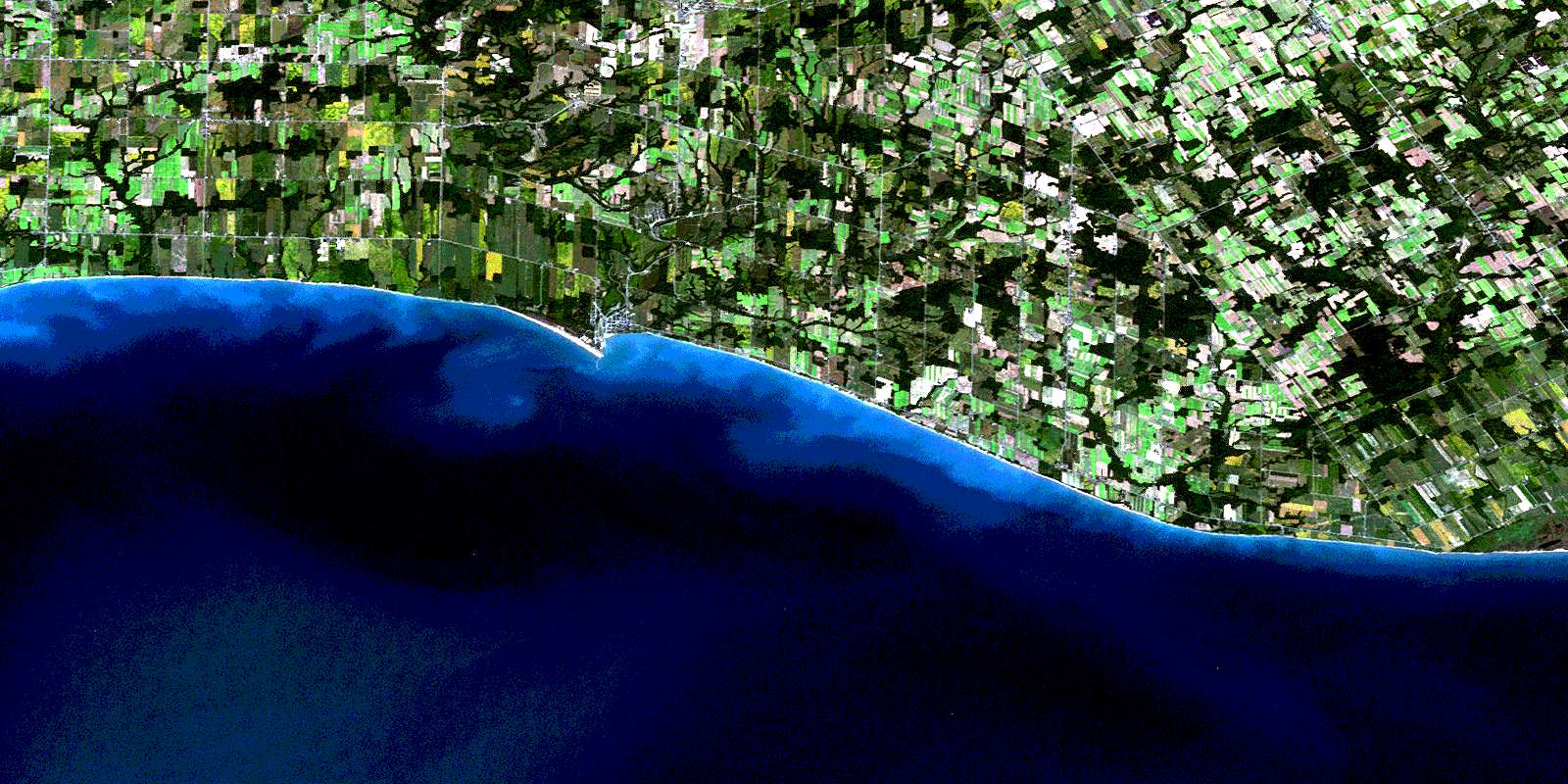
Port Burwell Satellite Image Map
Download Free Aerial Photo 040I10 at 1:50,000 scale
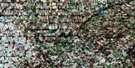
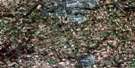
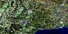
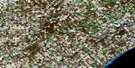
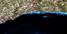
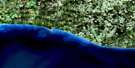
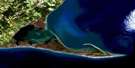
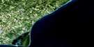
Port Burwell Satellite Imagery
To view this satellite map, mouse over the air photo on the right.
You can also download this satellite image map for free:
040I10 Port Burwell high-resolution satellite image map.
Maps for the Port Burwell aerial map sheet 040I10 at 1:50,000 scale are also available in these versions:
Port Burwell Surrounding Area Aerial Photo Maps
 |
 |
 |
 |
 |
 |
 |
 |
 |
|||
© Department of Natural Resources Canada. All rights reserved.
Port Burwell Gazetteer
The following places can be found on satellite image map 040I10 Port Burwell:
Port Burwell Satellite Image: City
NanticokeNorfolk
Norfolk County
Port Burwell Satellite Image: Geographical areas
BayhamElgin
Houghton
Malahide
North Walsingham
South Walsingham
Walsingham
Port Burwell Satellite Image: Hydraulic construction
Fernley DrainHahn Ditch
Hankinson Drain
Harmon Drain
Mooseberger Drain
Scanlon Drain
Sinclair Drain
Tate Drain
Timpany Drain
Port Burwell Satellite Image: Lakes
Lac ÉriéLake Erie
Silver Lake
Port Burwell Satellite Image: Mountains
The Sand HillsPort Burwell Satellite Image: Major municipal/district area - major agglomerations
ElginHaldimand-Norfolk
Port Burwell Satellite Image: Other municipal/district area - miscellaneous
BayhamCharlotteville
Delhi
Dorchester
Houghton
Malahide
Middleton
Norfolk
North Walsingham
South Dorchester
South Walsingham
Townsend
Walsingham
Windham
Woodhouse
Port Burwell Satellite Image: Conservation areas
Port Burwell Provincial ParkRéserve nationale de faune du ruisseau Big Creek
Port Burwell Satellite Image: Rivers
Big CreekBig Otter Creek
Bradley Creek
Bradleys Creek
Clear Creek
Deer Creek
Hemlock Creek
Little Otter Creek
Long Point Creek
Moores Creek
Pirrie Creek
Silver Creek
South Otter Creek
Venison Creek
Port Burwell Satellite Image: Unincorporated areas
CaltonCandyville
Carholme
Clear Creek
Copenhagen
Cultus
Dunboyne
Erie View
Fairground
Fairview
Froggetts Corners
Frogmore
Glen Meyer
Griffin Corners
Grovesend
Hemlock
Houghton
Houghton Centre
Jacksonburg
Kinglake
Kinglake Station
Lakeview
Langton
Luton
Malahide
Marston
Mount Salem
Port Burwell
Rowan Mills
Spring Arbour
Straffordville
Vienna
Walsingham
Port Burwell Satellite Image: Valleys
Stalter's GullyPort Burwell Satellite Image: Low vegetation
Hahn MarshLee Brown Marsh
© Department of Natural Resources Canada. All rights reserved.
