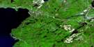
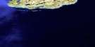
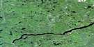
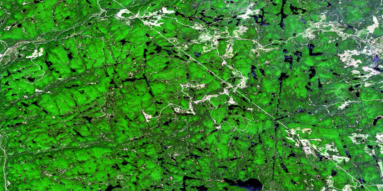
Blackspruce Lake Satellite Image Map
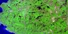
Download Free Aerial Photo 041N09 at 1:50,000 scale
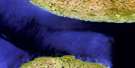
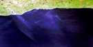
Blackspruce Lake Satellite Imagery
To view this satellite map, mouse over the air photo on the right.
You can also download this satellite image map for free:
041N09 Blackspruce Lake high-resolution satellite image map.
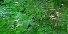
Maps for the Blackspruce Lake aerial map sheet 041N09 at 1:50,000 scale are also available in these versions:
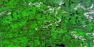
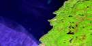
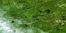
Blackspruce Lake Surrounding Area Aerial Photo Maps
 |
 |
 |
 |
 |
 |
 |
|
 |
 |
 |
|
 |
 |
© Department of Natural Resources Canada. All rights reserved.
Blackspruce Lake Gazetteer
The following places can be found on satellite image map 041N09 Blackspruce Lake:
Blackspruce Lake Satellite Image: Geographical areas
24,1824,19
24,20
24,21
25,18
25,19
25,20
25,21
26,18
26,19
26,20
26,21
27,18
27,19
27,20
27,21
28,18
28,19
28,20
28,21
Algoma
Barnes
Beaudin
Beaudry
Beauparlant
Behmann
Bullock
Cannard
Corboy
Eaket
Emiry
Restoule
Roy
Sampson
Saunders
Shawkence
Stoney
Suganaqueb
Tabobondung
Waswa
Wawia
Blackspruce Lake Satellite Image: Lakes
Anns LakeApril Lake
Austin Lake
Beaverflood Lake
Benli Lake
Bentti Lake
Berry Lake
Blackspruce Lake
Bonnet Lake
Brant Lake
Broken Paddle Lake
Buddy Lake
Butcher Lake
Carpet Lake
Daisy Lake
Deacon Lake
Dickie Lake
Duke Lake
Eleven Mile Lake
Ellam Lake
Foot Lake
Ford Lake
Fulcher Lake
Hookah Lake
Hornet Lake
Jay Lake
Jeep Lake
Jimmy Lake
Joki Lake
Jupiter Lake
Koski Lake
Lira Lake
Loam Lake
Low Lake
Lowland Lake
Lue Lake
Lyds Lake
Mank Lake
March Lake
Masalin Lake
Matilda Lake
McEwen Lake
McQuillen Lake
Mead Lake
Mobout Lake
Monarch Lake
Mount Baldy Lake
Nailhead Lake
Nick Lake
Odd Lake
Parch Lake
Pelt Lake
Pie Lake
Pipoli Lake
Queer Lake
Rainer Lake
Regan Lake
Rex Lake
Roderic Lake
Scow Lake
Selin Lake
Shadow Lake
Shanty Lake
Shasta Lake
Siwash Lake
Solitaire Lake
Step Lake
Stillwater Lake
Tikamaganda Lake
Truman Lake
Twelve Mile Lake
Warbler Lake
White Birch Lake
Wicky Lake
Wildcherry Lake
Zero Lake
Blackspruce Lake Satellite Image: Mountains
Mount BaldyBlackspruce Lake Satellite Image: Conservation areas
Lake Superior Provincial ParkTikamaganda Lake Conservation Reserve
Blackspruce Lake Satellite Image: Rivers
Agawa RiverBlackspruce Creek
Daisy Creek
Harvie Creek
Hayes Creek
Jackpine River
Jimmy Creek
Mank Creek
McEwen Creek
Oddfoot Creek
Parch Creek
Regan River
Shasta Creek
Shasta Creek
Tikamaganda River
Weichel Creek
White Birch Creek
Wildcherry Creek
Blackspruce Lake Satellite Image: Unincorporated areas
EtonMillwood
© Department of Natural Resources Canada. All rights reserved.
