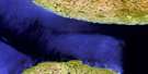
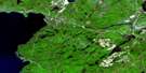
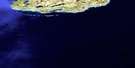
Agawa Bay Satellite Image Map
Download Free Aerial Photo 041N07 at 1:50,000 scale
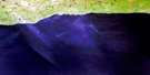
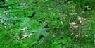
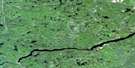
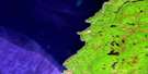
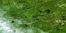
Agawa Bay Satellite Imagery
To view this satellite map, mouse over the air photo on the right.
You can also download this satellite image map for free:
041N07 Agawa Bay high-resolution satellite image map.
Maps for the Agawa Bay aerial map sheet 041N07 at 1:50,000 scale are also available in these versions:
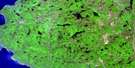
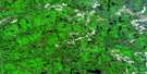
Agawa Bay Surrounding Area Aerial Photo Maps
 |
 |
 |
 |
 |
 |
 |
|
 |
 |
 |
|
 |
 |
© Department of Natural Resources Canada. All rights reserved.
Agawa Bay Gazetteer
The following places can be found on satellite image map 041N07 Agawa Bay:
Agawa Bay Satellite Image: Bays
Agawa BayBeatty Cove
Katherine Cove
MacGregor Cove
Robertson Cove
Sinclair Cove
Agawa Bay Satellite Image: Capes
Agawa PointBald Head
Rocky Point
Agawa Bay Satellite Image: Falls
Lady Evelyn FallsAgawa Bay Satellite Image: Geographical areas
28,1528,16
28,17
28,18
29,15
29,16
29,17
29,18
30,17
30,18
Algoma
Brimacombe
Broome
Bullock
Giles
Goodwillie
Greenwood
Labelle
Labonte
Peever
Rix
Agawa Bay Satellite Image: Islands
Agawa IslandsBarrett Island
Ella Islet
Ganley Island
Leach Island
Lizard Islands
Montreal Island
Rock Island
Rowe Island
Sinclair Island
South Lizard Island
Vrooman Island
Vrooman Islands
Agawa Bay Satellite Image: Lakes
Beaverhouse LakeBlack Beaver Lake
Boggy Pond
Castor Ponds
Charlie Lake
Crescent Lake
Crooked Cane Lake
Devlin Lake
Doc Greig Lake
Dottie Lake
Dugout Lake
Eber Pond
First Lake
Frater Lake
Greig Lake
Harrys Lake
Hotshot Lake
Howling Wolf Lake
Huckson Lake
Imprimis Lake
Kenny Lake
Kwagama Lake
Lac Supérieur
Lake Superior
Lost Lake
Mabel Pond
MacGregor Lake
McComb Lake
McDougal Lake
Menzie Lake
Mudhole Lake
Neomi Lake
Orphan Lake
Overland Lake
Pamplemouse Pond
Peyton Lake
Pontoon Lake
Royal Lake
Snyder Lake
Speckled Trout Lake
Stan Lake
Sweesey Lake
Sweezey Lake
Tame Rice Lake
Taylor Lake
Tee Bone Lake
The Duck Ponds
Tower Lake
Turtle Shell Lake
Wagon Wheel Lake
Wells Lake
Wizard Lake
Agawa Bay Satellite Image: Mountains
Black Beaver HillKwagama Hill
Montreal Hill
Sugarloaf Hill
Agawa Bay Satellite Image: Conservation areas
Lake Superior Provincial ParkAgawa Bay Satellite Image: Rivers
Agawa RiverBaldhead River
Barrett River
Clay River
Coldwater River
Crazy Creek
Frater Creek
June Creek
Kwagama Creek
Laughing Brook
Montreal River
Sand River
Speckled Trout Creek
Wizard Creek
Agawa Bay Satellite Image: Shoals
Agawa RockBarr Reef
Ganley Rock
Griffon Reef
Minnie Reef
Miron Bank
Sparrow Shoal
Telegraph Rock
Agawa Bay Satellite Image: Unincorporated areas
Agawa BayFrater
Agawa Bay Satellite Image: Low vegetation
Cliff Marsh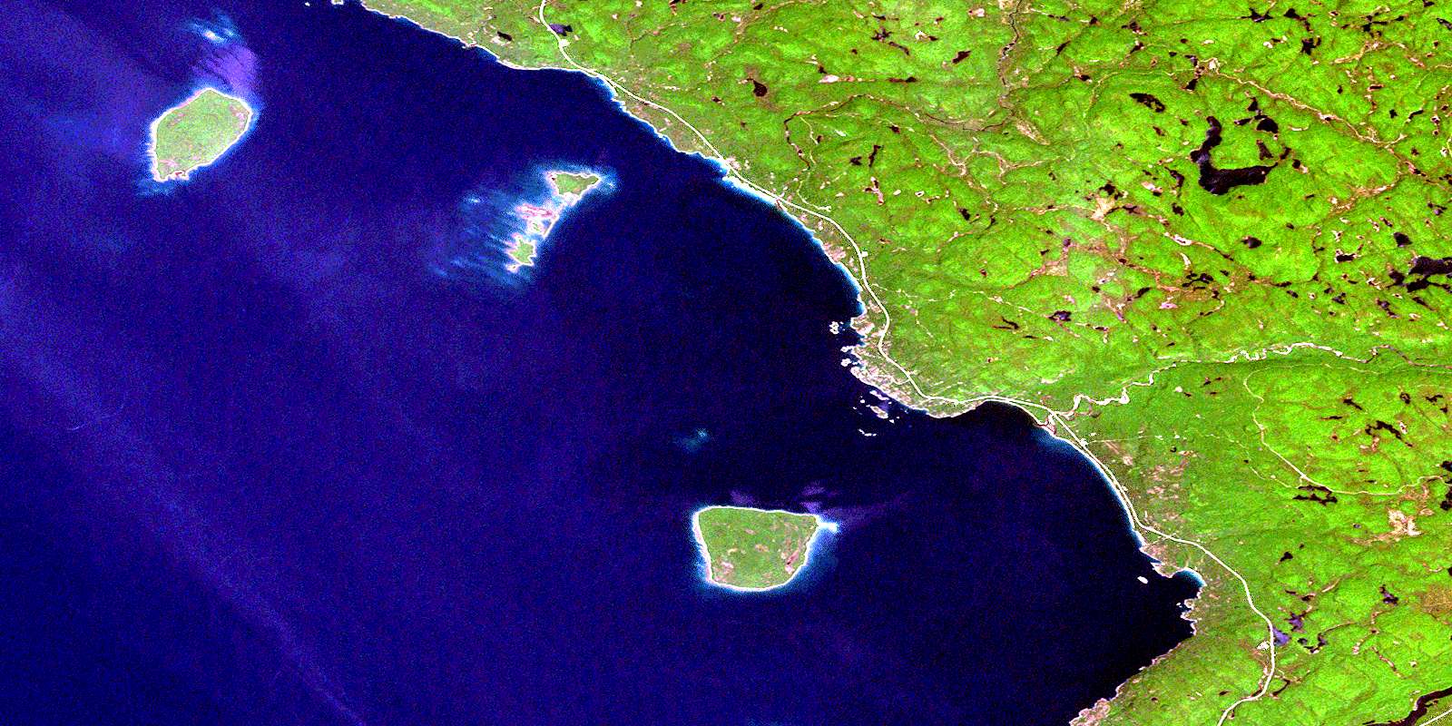
© Department of Natural Resources Canada. All rights reserved.
