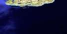
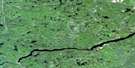
Michipicoten River Satellite Image Map
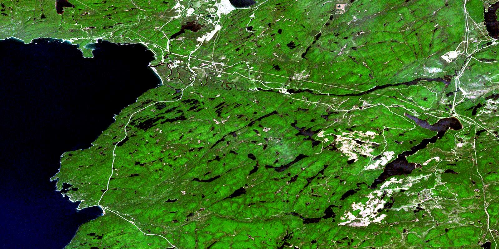
Download Free Aerial Photo 041N15 at 1:50,000 scale
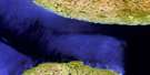
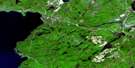
Michipicoten River Satellite Imagery
To view this satellite map, mouse over the air photo on the right.
You can also download this satellite image map for free:
041N15 Michipicoten River high-resolution satellite image map.
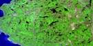
Maps for the Michipicoten River aerial map sheet 041N15 at 1:50,000 scale are also available in these versions:
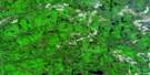
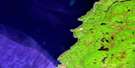
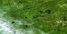
Michipicoten River Surrounding Area Aerial Photo Maps
 |
 |
 |
 |
 |
 |
 |
|
 |
 |
 |
|
 |
 |
© Department of Natural Resources Canada. All rights reserved.
Michipicoten River Gazetteer
The following places can be found on satellite image map 041N15 Michipicoten River:
Michipicoten River Satellite Image: Bays
Brulé HarbourDoré Bay
Inner Harbour
Michipicoten Bay
Michipicoten Harbour
Noisy Bay
Oakes Cove
Old Woman Bay
Michipicoten River Satellite Image: Beaches
Driftwood BeachGravel Beach
Indian Beach
Perraults Beach
Sandy Beach
Michipicoten River Satellite Image: Capes
Beauvier PointBrulé Point
Doré Point
Mackey Point
Perkwakwia Point
Reid Point
Smoky Point
Michipicoten River Satellite Image: Falls
Anjigami FallsCat Falls
Doré Falls
Fing Falls
High Falls
Magpie Falls
McPhail Falls
Mission Falls
Scott Falls
Michipicoten River Satellite Image: Geographical areas
27,2328,21
28,22
28,23
29,21
29,22
29,23
30,21
30,22
30,23
31,21
31,22
31,23
Algoma
Bostwick
Dulhut
LaRonde
Lastheels
Lendrum
Maness
McMurray
Naveau
Nebonaionquet
Peterson
Rabazo
Redsky
Restoule
Michipicoten River Satellite Image: Indian Reserves
Gros Cap 49Gros Cap Indian Reserve 49
Gros Cap Indian Village 49A
Gros Cap Indian Village Indian Reserve 49A
Réserve indienne Gros Cap 49
Réserve indienne Gros Cap Indian Village 49A
Michipicoten River Satellite Image: Islands
Clergue IslandEntrance Island
Seagull Island
Michipicoten River Satellite Image: Lakes
Ale LakeAlpine Lake
Anderson Lake
Anjigami Lake
Anjigomi Lake
Antoine Lake
Bank Lake
Blackington Lake
Blasko Lake
Bond Lake
Bottle Lake
Bridget Lake
Broadtail Lake
Bulrush Lake
Byron Lake
Cabin Lake
Centennial Lake
Cinders Lake
Crozier Lake
Deep Lake
Dodds Lake
Doré Lake
Dossier Lake
Dycie Lake
Ear Lake
Felcite Lake
Fenton Lake
Fir Lake
Fisher Lake
Frost Lake
George Lake
Greenwood Lake
Half Mile Lake
Henry Lake
Herrick Lake
Hilltop Lake
Jubilee Lake
Junction Lake
Kashog Lake
Kearns Lake
Lac de Zajac
Lac Mishewawa
Lac Supérieur
Lac Wawa
Lake Superior
Leroy Lake
Line Lake
Little Dossier Lake
Loyda Lake
Lyre Lake
McKinney Lake
Megit Lake
Miki Lake
Mile Lake
Minto Lake
Mishewawa Lake
Mission Lake
Modden Lake
Mona Lake
Moon Lake
Moose Lake
Mountain Lake
Neilly Lake
Nezwa Lake
Noisy Lake
Norwalk Lake
Oakley Lake
Odawbi Lake
Ogas Lake
Perry Lake
Prentice Lake
Rabbit Blanket Lake
Rafter Lake
Reed Lake
Rod and Gun Lake
Roddy Lake
Roller Lake
Salter Lake
Sand Lake
Shakwa Lake
Stanley Lake
Sunrise Lake
Tabor Lake
Tenho Lake
The Pepper Lakes
Thuja Lake
Tower Lake
Treeby Lake
Twin Lakes
Two Mile Lake
Underhill Lake
Ward Lake
Wawa Lake
Whitefish Lake
Yanni Lake
Michipicoten River Satellite Image: Mountains
Brulé HillBrûlé Hill
Legarde Mountain
Simmons Hill
Simon Hill
Thunder Mountain
Michipicoten River Satellite Image: Other municipal/district area - miscellaneous
MichipicotenMichipicoten River Satellite Image: Conservation areas
Lake Superior Provincial ParkMichipicoten Provincial Park
Michipicoten Wilderness Area
Michipicoten River Satellite Image: Plains
Trembley FlatsMichipicoten River Satellite Image: Rivers
Anjigami RiverAnjigomi River
Coldwater Creek
Coleman Creek
Dill River
Doré River
Dossier Creek
Firesand River
Fort Creek
Kinniwabi River
Little Makwa River
Magpie River
Michipicoten River
Moon Creek
Noisy River
Ogas Creek
Old Woman River
Perry Creek
Rivière Magpie
Sand Creek
South Old Woman River
Sponge Creek
Tabor Creek
Trout Creek
Wawa Creek
Michipicoten River Satellite Image: River features
Dead RiverMichipicoten River Satellite Image: Road features
Cat PortageLong Portage
Michipicoten River Satellite Image: Unincorporated areas
AnjigamiBrient
Jamestown
Limer
Michipicoten
Michipicoten Harbour
Michipicoten River
Perry
Sand Lake
Tabor
Trembley
Wawa
© Department of Natural Resources Canada. All rights reserved.
