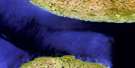
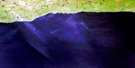
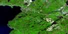
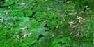
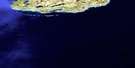
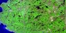
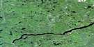
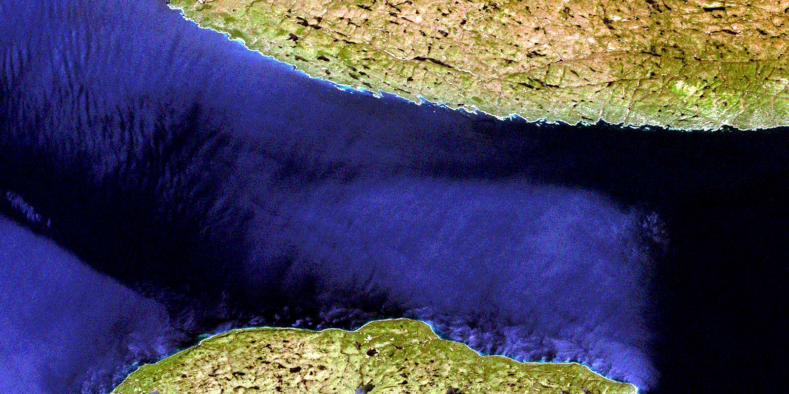
Bonner Head Satellite Image Map
Download Free Aerial Photo 041N13 at 1:50,000 scale
Bonner Head Satellite Imagery
To view this satellite map, mouse over the air photo on the right.
You can also download this satellite image map for free:
041N13 Bonner Head high-resolution satellite image map.
Maps for the Bonner Head aerial map sheet 041N13 at 1:50,000 scale are also available in these versions:
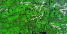
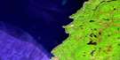
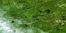
Bonner Head Surrounding Area Aerial Photo Maps
 |
 |
 |
 |
 |
 |
 |
|
 |
 |
 |
|
 |
 |
© Department of Natural Resources Canada. All rights reserved.
Bonner Head Gazetteer
The following places can be found on satellite image map 041N13 Bonner Head:
Bonner Head Satellite Image: Bays
Bonner Head BayFalse Ganley Harbour
Floating Heart Bay
Ganley Harbour
Pilot Harbour
Redsucker Cove
Redsucker Harbour
The Wheat Bin
Bonner Head Satellite Image: Capes
Bonner HeadCairn Point
Chimney Point
Point Maurepas
Pukaskwa Point
Bonner Head Satellite Image: Cliffs
The ClaybanksBonner Head Satellite Image: Geographical areas
HomerThunder Bay
Bonner Head Satellite Image: Islands
Crane IslandMichipicoten Island
Starr Island
Bonner Head Satellite Image: Lakes
Balsam LakeBrown Lake
Coldwater Lake
Deep Water Lake
Frying Pan Lake
Jackfish Lake
Kink Lake
Lac Supérieur
Lake Superior
Loon Lake
Maple Lake
Michi Lake
Pipe Lake
Triangle Lake
Bonner Head Satellite Image: Mountains
Cuesta ScarpPaugon Hill
Bonner Head Satellite Image: Conservation areas
Ganley Harbour Wilderness AreaMichipicoten Island Provincial Park
Parc national du Canada Pukaskwa
Pukaskwa National Park of Canada
Bonner Head Satellite Image: Rivers
Campbell CreekFloating Heart River
Julia River
Little Pipe River
Maple Creek
Philipps Creek
Pipe River
Pukaskwa River
Bonner Head Satellite Image: Shoals
Le Petit Mort RocksQuebec Rocks
© Department of Natural Resources Canada. All rights reserved.
