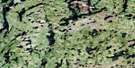
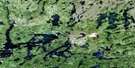
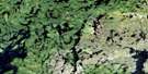
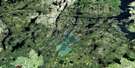
Laurie Lake Satellite Image Map
Download Free Aerial Photo 064C12 at 1:50,000 scale
Laurie Lake Satellite Imagery
To view this satellite map, mouse over the air photo on the right.
You can also download this satellite image map for free:
064C12 Laurie Lake high-resolution satellite image map.
Maps for the Laurie Lake aerial map sheet 064C12 at 1:50,000 scale are also available in these versions:
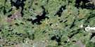
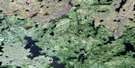
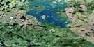
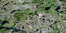
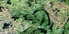
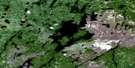
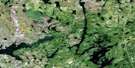
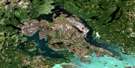
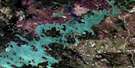
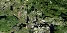
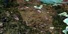
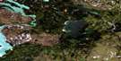
Laurie Lake Surrounding Area Aerial Photo Maps
 |
 |
 |
 |
 |
 |
 |
 |
 |
 |
 |
 |
 |
 |
 |
 |
© Department of Natural Resources Canada. All rights reserved.
Laurie Lake Gazetteer
The following places can be found on satellite image map 064C12 Laurie Lake:
Laurie Lake Satellite Image: Bays
Murray BayOtter Bay
South Bay
Walker Bay
Laurie Lake Satellite Image: Capes
Hamilton PointRoberts Peninsula
Laurie Lake Satellite Image: Channels
Ameekewapiskak NarrowsLaurie Lake Satellite Image: Hydraulic construction
Eager DamLaurie Lake Satellite Image: Islands
Bernard IslandCarey Island
Enns Island
MacFarlane Island
McRae Island
Poole Island
Laurie Lake Satellite Image: Lakes
Conglomerate LakeCraig Lake
Cremeens Lake
Dunphy Lakes
Eager Lake
Gasse Lake
Gneiss Lake
Hassett Lake
Hatchet Lake
Howard Campbell Lake
James Johnston Lake
Kukri Lake
Laurie Lake
Little Tod Lake
McWhirter Lake
Mukasew Lake
Murray Lake
Piskwaw Lake
Pyta Lake
Sahaluk Lake
Snake Lake
Strood Lake
Talon Lake
Tod Lake
Vaughan Lake
Wilkin Lake
Wolf Lake
Laurie Lake Satellite Image: Mountains
Evans EskerLaurie Lake Satellite Image: Rivers
Laurie RiverLaurie Lake Satellite Image: Unincorporated areas
Fox Mine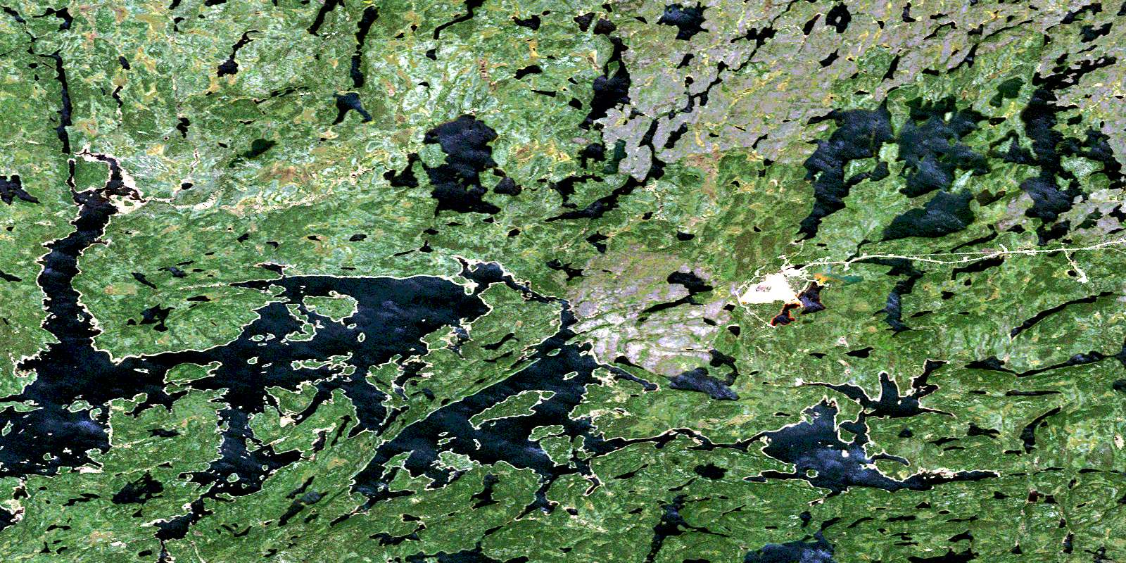
© Department of Natural Resources Canada. All rights reserved.
064C Related Maps:
064C Granville Lake064C01 Suwannee Lake
064C02 Wheatcroft Lake
064C03 Mcknight Lake
064C04 Mccallum Lake
064C05 Kamuchawie Lake
064C06 Kadeniuk Lake
064C07 Watt Lake
064C08 Turnbull Lake
064C09 Eden Lake
064C10 Sickle Lake
064C11 Mcgavock Lake
064C12 Laurie Lake
064C13 Mcmillan Lake
064C14 Lynn Lake
064C15 Cockeram Lake
064C16 Barrington Lake
