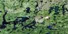
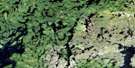
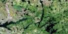
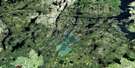
Barrington Lake Satellite Image Map
Download Free Aerial Photo 064C16 at 1:50,000 scale
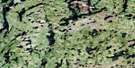
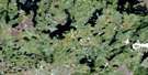
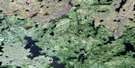
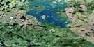
Barrington Lake Satellite Imagery
To view this satellite map, mouse over the air photo on the right.
You can also download this satellite image map for free:
064C16 Barrington Lake high-resolution satellite image map.
Maps for the Barrington Lake aerial map sheet 064C16 at 1:50,000 scale are also available in these versions:
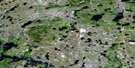
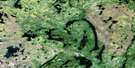
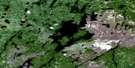
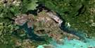
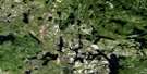
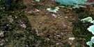
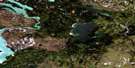
Barrington Lake Surrounding Area Aerial Photo Maps
 |
 |
 |
 |
 |
 |
 |
 |
 |
 |
 |
 |
 |
 |
 |
 |
© Department of Natural Resources Canada. All rights reserved.
Barrington Lake Gazetteer
The following places can be found on satellite image map 064C16 Barrington Lake:
Barrington Lake Satellite Image: Bays
Brooks BayCamp Bay
East Bay
Lawrence Bay
Barrington Lake Satellite Image: Capes
Taylor PeninsulaWilliams Peninsula
Barrington Lake Satellite Image: Islands
Beaton IslandBrooks Island
McFadden Island
Reid Island
Barrington Lake Satellite Image: Lakes
Adam LakeAshley Lake
Barrington Lake
Dorothy Lake
Elizabeth Lake
Ellystan Lake
End Lake
Farley Lake
Gordon Lake
Herman Lake
Hill Lakes
Hughes Lake
Inlet Lake
January Lake
Jim Lake
John Lake
July Lake
June Lake
Kenistoopechekomuskwu Lakes
Kuskitumusk Lake
Larson Lake
Leo Lake
Lucas Lake
Mac Lake
MacBride Lake
Manson Lake
Marie Lake
Marnie Lake
Marrow Lake
Marsh Lake
McFadden Lake
More Lake
Nickel Lake
Omega Lake
One Island Lake
Portage Lake
Pump Lake
Simpson Lake
Spider Lake
Stan Lake
Star Lake
Susan Lake
Swede Lake
Tow Lake
Webb Lake
Wellmet Lake
Westdal Lake
Wetiko Lake
Wetikoeekan Lake
White Owl Lake
Wuchusk Lake
Barrington Lake Satellite Image: Rapids
Collins RapidsBarrington Lake Satellite Image: Rivers
Ashley CreekBarrington River
Hughes River
Wupanukamik River
Barrington Lake Satellite Image: Unincorporated areas
Eden Lake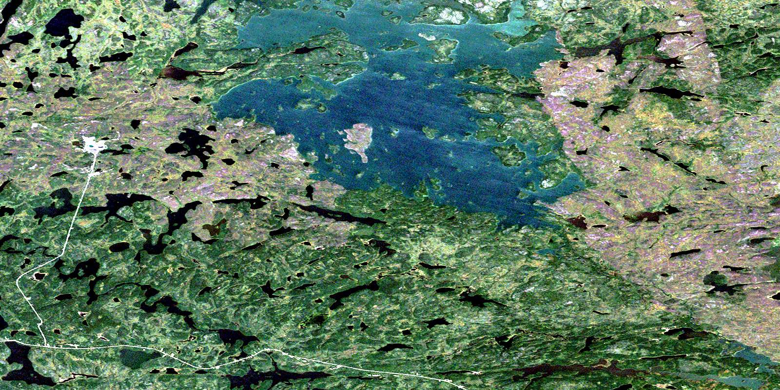
© Department of Natural Resources Canada. All rights reserved.
064C Related Maps:
064C Granville Lake064C01 Suwannee Lake
064C02 Wheatcroft Lake
064C03 Mcknight Lake
064C04 Mccallum Lake
064C05 Kamuchawie Lake
064C06 Kadeniuk Lake
064C07 Watt Lake
064C08 Turnbull Lake
064C09 Eden Lake
064C10 Sickle Lake
064C11 Mcgavock Lake
064C12 Laurie Lake
064C13 Mcmillan Lake
064C14 Lynn Lake
064C15 Cockeram Lake
064C16 Barrington Lake
