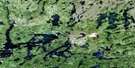
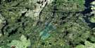
Mcgavock Lake Satellite Image Map
Download Free Aerial Photo 064C11 at 1:50,000 scale
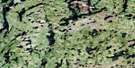
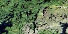
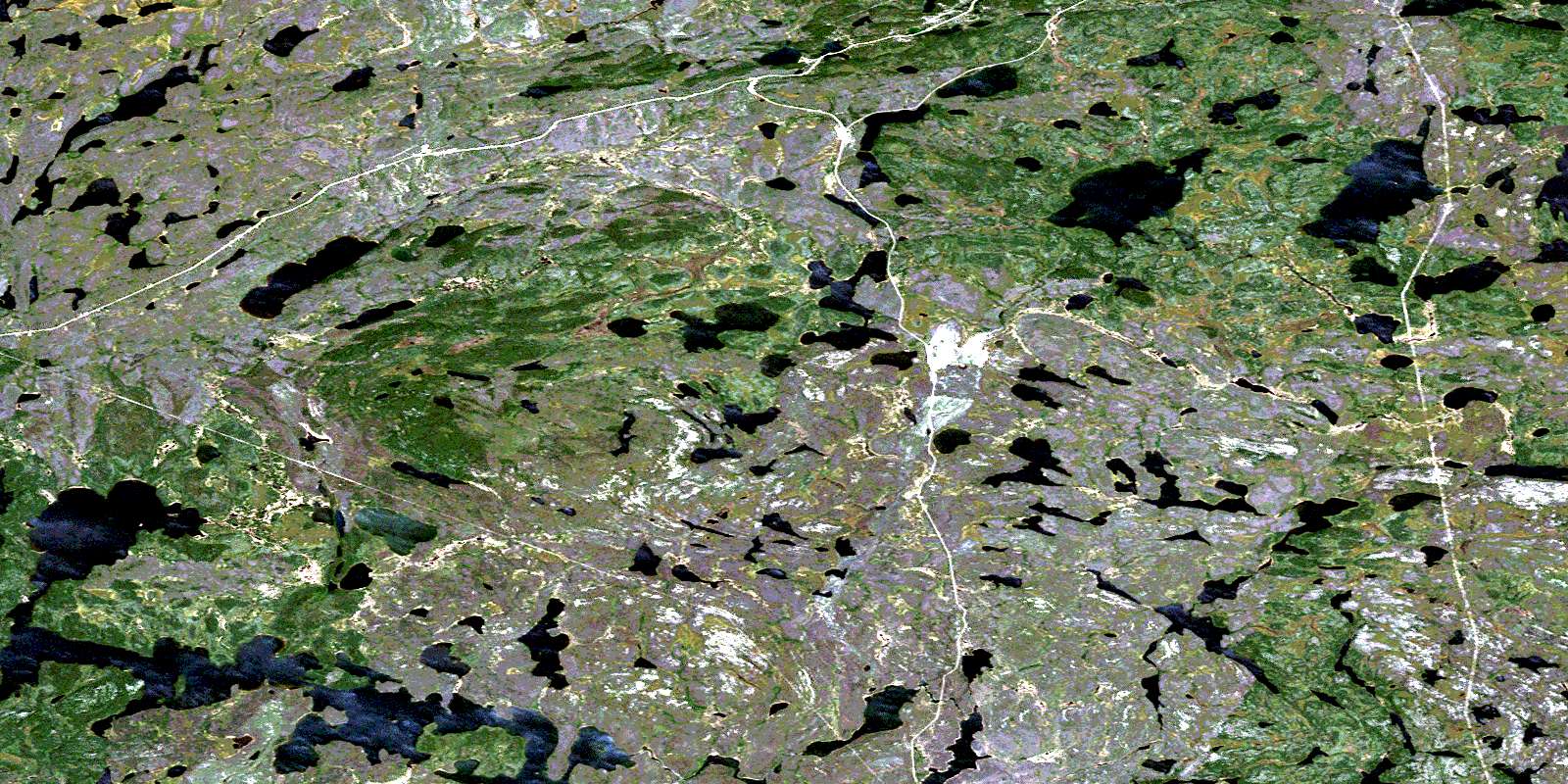
Mcgavock Lake Satellite Imagery
To view this satellite map, mouse over the air photo on the right.
You can also download this satellite image map for free:
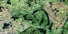
064C11 Mcgavock Lake high-resolution satellite image map.
Maps for the Mcgavock Lake aerial map sheet 064C11 at 1:50,000 scale are also available in these versions:
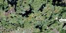
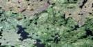
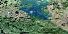
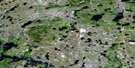
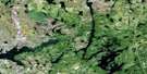
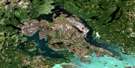
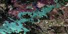
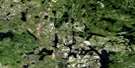
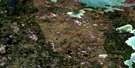
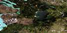
Mcgavock Lake Surrounding Area Aerial Photo Maps
 |
 |
 |
 |
 |
 |
 |
 |
 |
 |
 |
 |
 |
 |
 |
 |
© Department of Natural Resources Canada. All rights reserved.
Mcgavock Lake Gazetteer
The following places can be found on satellite image map 064C11 Mcgavock Lake:
Mcgavock Lake Satellite Image: Capes
Mitchell PeninsulaMcgavock Lake Satellite Image: Channels
Opapamapeewin NarrowsMcgavock Lake Satellite Image: Lakes
Amer LakeAmoeba Lake
Binks Lake
Boiley Lake
Conglomerate Lake
Counsell Lake
Digney Lake
Douglas McKay Lake
Dunphy Lakes
Eaton Lake
Foster Lake
Franklin Lake
Gemmell Lake
German Lake
Glasspole Lake
Irene Lake
Jones Lake
Kekeso Lake
Lippe Lake
Louise Lake
Mail Lake
Makate Lake
May Lake
McGavock Lake
Monique Lake
Naylor Lake
Patton Lake
Phoebe Lake
Pool Lake
Redwin Lake
Sarah Lake
Shannon Lake
Sherwood Lake
Slush Lake
Snydal Lake
Stear Lake
Story Lake
Stuart Lake
Summit Lake
Wann Lake
Wilmot Lake
Mcgavock Lake Satellite Image: Rapids
Anderson RapidsMcgavock Lake Satellite Image: Rivers
Counsell CreekLaurie River
Lynn River
Tippieskaw Creek
Mcgavock Lake Satellite Image: Towns
Lynn LakeMcgavock Lake Satellite Image: Unincorporated areas
DrybroughMacLachlan
McVeigh
© Department of Natural Resources Canada. All rights reserved.
064C Related Maps:
064C Granville Lake064C01 Suwannee Lake
064C02 Wheatcroft Lake
064C03 Mcknight Lake
064C04 Mccallum Lake
064C05 Kamuchawie Lake
064C06 Kadeniuk Lake
064C07 Watt Lake
064C08 Turnbull Lake
064C09 Eden Lake
064C10 Sickle Lake
064C11 Mcgavock Lake
064C12 Laurie Lake
064C13 Mcmillan Lake
064C14 Lynn Lake
064C15 Cockeram Lake
064C16 Barrington Lake
