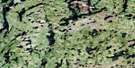
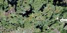
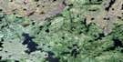
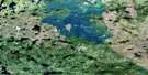
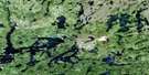
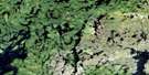
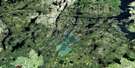
Eden Lake Satellite Image Map
Download Free Aerial Photo 064C09 at 1:50,000 scale
Eden Lake Satellite Imagery
To view this satellite map, mouse over the air photo on the right.
You can also download this satellite image map for free:
064C09 Eden Lake high-resolution satellite image map.
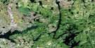
Maps for the Eden Lake aerial map sheet 064C09 at 1:50,000 scale are also available in these versions:
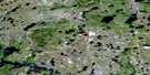
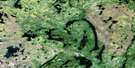
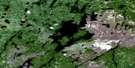
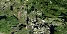
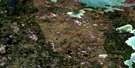
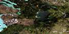
Eden Lake Surrounding Area Aerial Photo Maps
 |
 |
 |
 |
 |
 |
 |
 |
 |
 |
 |
 |
 |
 |
 |
 |
© Department of Natural Resources Canada. All rights reserved.
Eden Lake Gazetteer
The following places can be found on satellite image map 064C09 Eden Lake:
Eden Lake Satellite Image: Bays
Kwaskwaypichikun BayMuskose Bay
Okowacheeweenik Bay
Outlaw Bay
Outlaw Bay
Stevenson Bay
Eden Lake Satellite Image: Capes
Moore PeninsulaEden Lake Satellite Image: Channels
Iaketamowapam NarrowsEden Lake Satellite Image: Islands
Burns IslandCarriere Island
Carrière Island
Hanson Island
Lafontaine Island
Rasmussen Island
Spearin Island
Eden Lake Satellite Image: Lakes
Conrad LakeEden Lake
Foot Lake
Garry Forbes Lake
Granville Lake
Hacker Lake
James Bruce Lake
Kakinokumak Lake
Kaministikos Lake
Kwaskwaypichikun Lake
Lafontaine Lake
Marshall Lake
Ministik Lake
Muskeko Lake
Ospowakun Lake
Pilote Lake
Spearin Lake
St. Croix Lake
Stag Lake
Uyekus Lake
Vernon Anderson Lake
Wetiko Lake
Wetikoeekan Lake
William Bruce Lake
Eden Lake Satellite Image: Rapids
Johnston RapidsPaterson Rapids
Eden Lake Satellite Image: Rivers
Barrington RiverBeatty Creek
Churchill River
Hughes River
Ministik Creek
Numakoos River
Rivière Churchill
Wupanukamik River
Eden Lake Satellite Image: Towns
Leaf RapidsEden Lake Satellite Image: Unincorporated areas
Eden Lake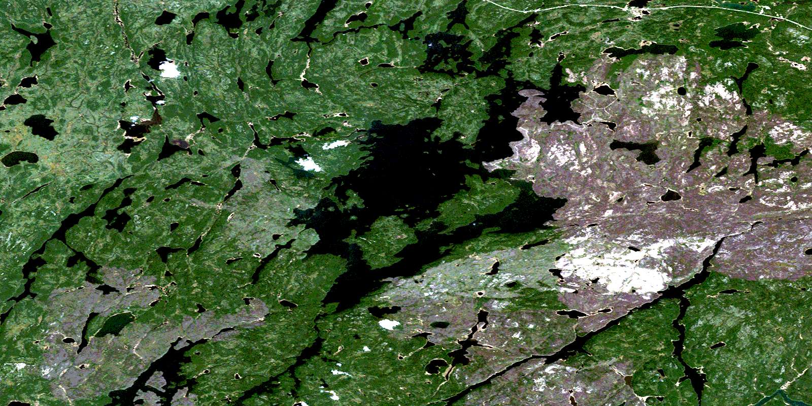
© Department of Natural Resources Canada. All rights reserved.
064C Related Maps:
064C Granville Lake064C01 Suwannee Lake
064C02 Wheatcroft Lake
064C03 Mcknight Lake
064C04 Mccallum Lake
064C05 Kamuchawie Lake
064C06 Kadeniuk Lake
064C07 Watt Lake
064C08 Turnbull Lake
064C09 Eden Lake
064C10 Sickle Lake
064C11 Mcgavock Lake
064C12 Laurie Lake
064C13 Mcmillan Lake
064C14 Lynn Lake
064C15 Cockeram Lake
064C16 Barrington Lake
