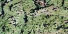
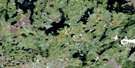
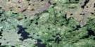
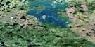
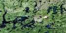
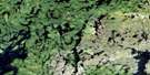
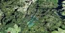
Turnbull Lake Satellite Image Map
Download Free Aerial Photo 064C08 at 1:50,000 scale
Turnbull Lake Satellite Imagery
To view this satellite map, mouse over the air photo on the right.
You can also download this satellite image map for free:
064C08 Turnbull Lake high-resolution satellite image map.
Maps for the Turnbull Lake aerial map sheet 064C08 at 1:50,000 scale are also available in these versions:
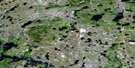
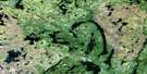
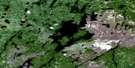
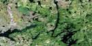
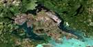
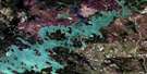
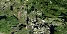
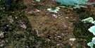
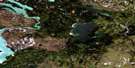
Turnbull Lake Surrounding Area Aerial Photo Maps
 |
 |
 |
 |
 |
 |
 |
 |
 |
 |
 |
 |
 |
 |
 |
 |
© Department of Natural Resources Canada. All rights reserved.
Turnbull Lake Gazetteer
The following places can be found on satellite image map 064C08 Turnbull Lake:
Turnbull Lake Satellite Image: Bays
Akawacheekamayow BayBaird Bay
Davidson Bay
Duncan Bay
Kapimichichukasik Bay
Kowupetusinnanit Bay
Okowacheeweenik Bay
Otaypwaywin Bay
Outlaw Bay
Outlaw Bay
Pukatawakanis Bay
Stevenson Bay
Wapisew Bay
Turnbull Lake Satellite Image: Capes
Davis PeninsulaKapecheekunikwa Point
Osakeeweepatheehowin Point
Turnbull Lake Satellite Image: Channels
Omaseenawapiskinapik NarrowsUpischipuskipatakoos Narrows
Wabowden Narrows
Turnbull Lake Satellite Image: Islands
Baird IslandBartlett Island
Bissett Island
Bissett Island
Calder Island
Carnegie Island
Coulter Island
Gibson Island
Goodwin Island
Grace Island
Graham Island
Lee Island
May Island
McIntyre Island
McTavish Island
Mistuhe Island
Ohookisew Island
Omaseenawapiskinapik Island
Paul Island
Piercy Island
Stack Island
Swain Island
Tourand Island
Vince Island
Turnbull Lake Satellite Image: Lakes
Bridal LakeGranville Lake
Kapecheekunikwa Lake
Leaf Lake
Marshall Lake
Mukaysew Lake
Oskoon Lake
Oskoon Lake
Otaypwaywin Lake
Solomon Lake
Stag Lake
Turnbull Lake
White Chicken Lake
White Chicken Lake
Turnbull Lake Satellite Image: Rapids
Kaneesuschisik RapidsTurnbull Lake Satellite Image: Rivers
Churchill RiverKakepowukakotake Creek
Mayakamak Creek
Numakoos River
Opuskowin River
Otaypwaywin Creek
Pekwawinneepi Creek
Rivière Churchill
Turnbull Lake Satellite Image: Road features
Nikik PortageWeposkaw Portage
Turnbull Lake Satellite Image: Towns
Leaf Rapids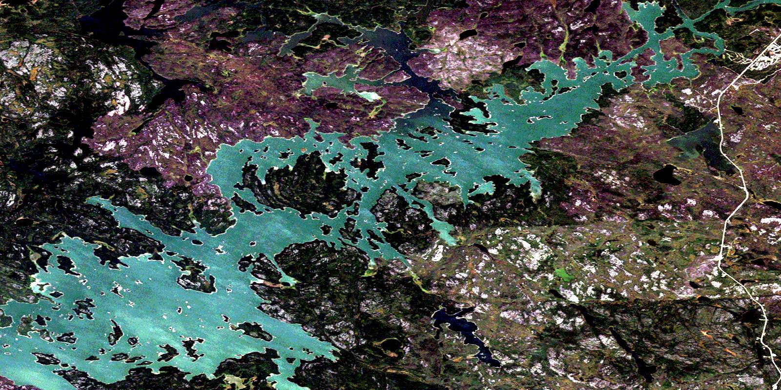
© Department of Natural Resources Canada. All rights reserved.
064C Related Maps:
064C Granville Lake064C01 Suwannee Lake
064C02 Wheatcroft Lake
064C03 Mcknight Lake
064C04 Mccallum Lake
064C05 Kamuchawie Lake
064C06 Kadeniuk Lake
064C07 Watt Lake
064C08 Turnbull Lake
064C09 Eden Lake
064C10 Sickle Lake
064C11 Mcgavock Lake
064C12 Laurie Lake
064C13 Mcmillan Lake
064C14 Lynn Lake
064C15 Cockeram Lake
064C16 Barrington Lake
