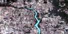
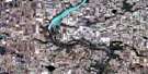
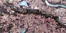
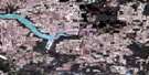
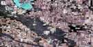
Bengough Satellite Image Map
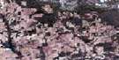
Download Free Aerial Photo 072H06 at 1:50,000 scale
Bengough Satellite Imagery
To view this satellite map, mouse over the air photo on the right.
You can also download this satellite image map for free:
072H06 Bengough high-resolution satellite image map.
Maps for the Bengough aerial map sheet 072H06 at 1:50,000 scale are also available in these versions:
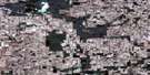
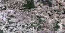
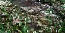
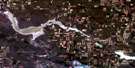
Bengough Surrounding Area Aerial Photo Maps
 |
 |
 |
 |
 |
 |
 |
 |
 |
 |
 |
 |
 |
 |
 |
 |
© Department of Natural Resources Canada. All rights reserved.
Bengough Gazetteer
The following places can be found on satellite image map 072H06 Bengough:
Bengough Satellite Image: Hamlets
ViceroyBengough Satellite Image: Lakes
Bullkin LakeCoal Mine Lake
Rivard Lake
Willow Bunch Lake
Bengough Satellite Image: Other municipal/district area - miscellaneous
Bengough No. 40Excel No. 71
Happy Valley No. 10
Hart Butte No. 11
Willow Bunch No. 42
Bengough Satellite Image: Conservation areas
Bengough Regional ParkBengough Satellite Image: Towns
BengoughBengough Satellite Image: Unincorporated areas
HarptreeRoncott
Bengough Satellite Image: Valleys
Big Muddy Valley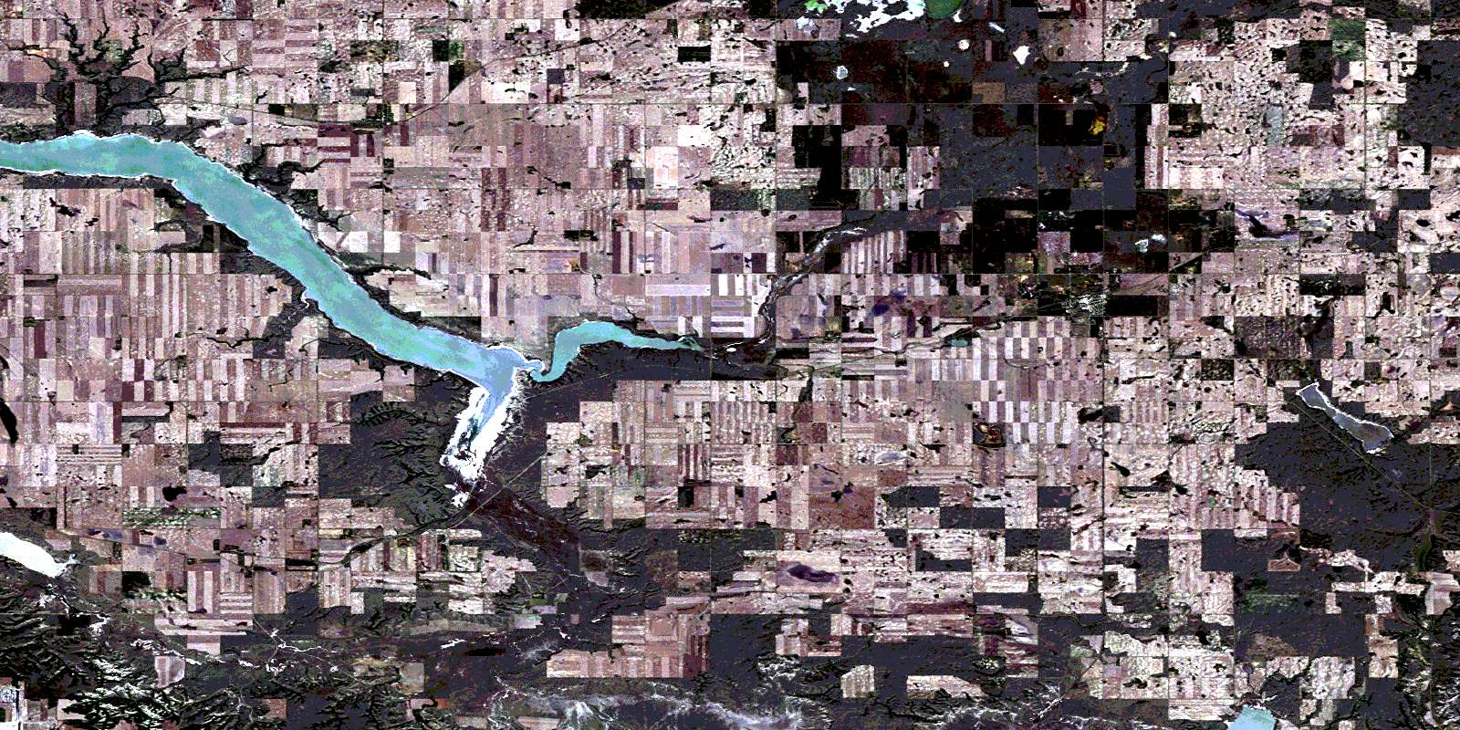
© Department of Natural Resources Canada. All rights reserved.
