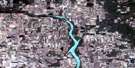
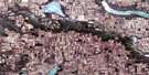
Radville Satellite Image Map
Download Free Aerial Photo 072H08 at 1:50,000 scale
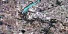
Radville Satellite Imagery
To view this satellite map, mouse over the air photo on the right.
You can also download this satellite image map for free:
072H08 Radville high-resolution satellite image map.
Maps for the Radville aerial map sheet 072H08 at 1:50,000 scale are also available in these versions:
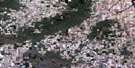
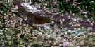
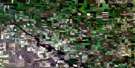
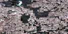
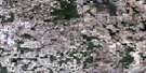
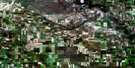
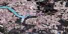
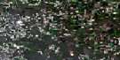
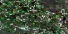
Radville Surrounding Area Aerial Photo Maps
 |
 |
 |
 |
 |
 |
 |
 |
 |
 |
 |
 |
 |
 |
 |
 |
© Department of Natural Resources Canada. All rights reserved.
Radville Gazetteer
The following places can be found on satellite image map 072H08 Radville:
Radville Satellite Image: Cliffs
The Missouri CoteauRadville Satellite Image: Lakes
Bowden LakeCecilia Lake
Freda Lake
Josephine Lake
Karl Lake
Larsen Reservoir
Neptune Lake
Radville Reservoir
Skinner Lake
Radville Satellite Image: Other municipal/district area - miscellaneous
Lake Alma No. 8Laurier No. 38
Lomond No. 37
Souris Valley No. 7
Surprise Valley No. 9
The Gap No. 39
Radville Satellite Image: Conservation areas
Brokenshell Wildlife Management Unit No. 2Radville Laurier Regional Park
Radville Satellite Image: Rivers
Gibson CreekJewel Creek
Long Creek
Roughbark Creek
Radville Satellite Image: Towns
RadvilleRadville Satellite Image: Unincorporated areas
DaleviewDandonneau
Dunning
Neptune
Souris Valley
Radville Satellite Image: Valleys
The Gap
© Department of Natural Resources Canada. All rights reserved.
