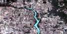
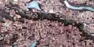
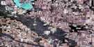
Willow Bunch Satellite Image Map
Download Free Aerial Photo 072H05 at 1:50,000 scale
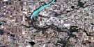
Willow Bunch Satellite Imagery
To view this satellite map, mouse over the air photo on the right.
You can also download this satellite image map for free:
072H05 Willow Bunch high-resolution satellite image map.
Maps for the Willow Bunch aerial map sheet 072H05 at 1:50,000 scale are also available in these versions:
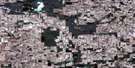
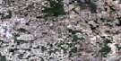
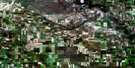
Willow Bunch Surrounding Area Aerial Photo Maps
 |
 |
 |
 |
 |
 |
 |
 |
 |
 |
 |
 |
 |
 |
 |
 |
© Department of Natural Resources Canada. All rights reserved.
Willow Bunch Gazetteer
The following places can be found on satellite image map 072H05 Willow Bunch:
Willow Bunch Satellite Image: Cliffs
The Missouri CoteauWillow Bunch Satellite Image: Hamlets
LisieuxScout Lake
St. Victor
Willow Bunch Satellite Image: Lakes
Bonneau LakeFife Lake
Kabrud Lake
Montague Lake
Rivard Lake
Scott Lake
Scout Lake
Willow Bunch Lake
Willow Bunch Satellite Image: Other municipal/district area - miscellaneous
Bengough No. 40Excel No. 71
Hart Butte No. 11
Poplar Valley No. 12
Willow Bunch No. 42
Willow Bunch Satellite Image: Conservation areas
Jean Louis Legare Regional ParkJean Lowis Legare Regional Park
Saint Victor Petroglyphs Provincial Park
Silvan Valley Regional Park
Sylvan Valley Regional Park
Willow Bunch Game Preserve
Willow Bunch Satellite Image: Rivers
East Poplar RiverHay Meadow Creek
Willow Bunch Satellite Image: Towns
Willow BunchWillow Bunch Satellite Image: Unincorporated areas
Clark BridgeGye
Landscape
Little Woody
Twin Valley
Willow Bunch Satellite Image: Valleys
Big Muddy Valley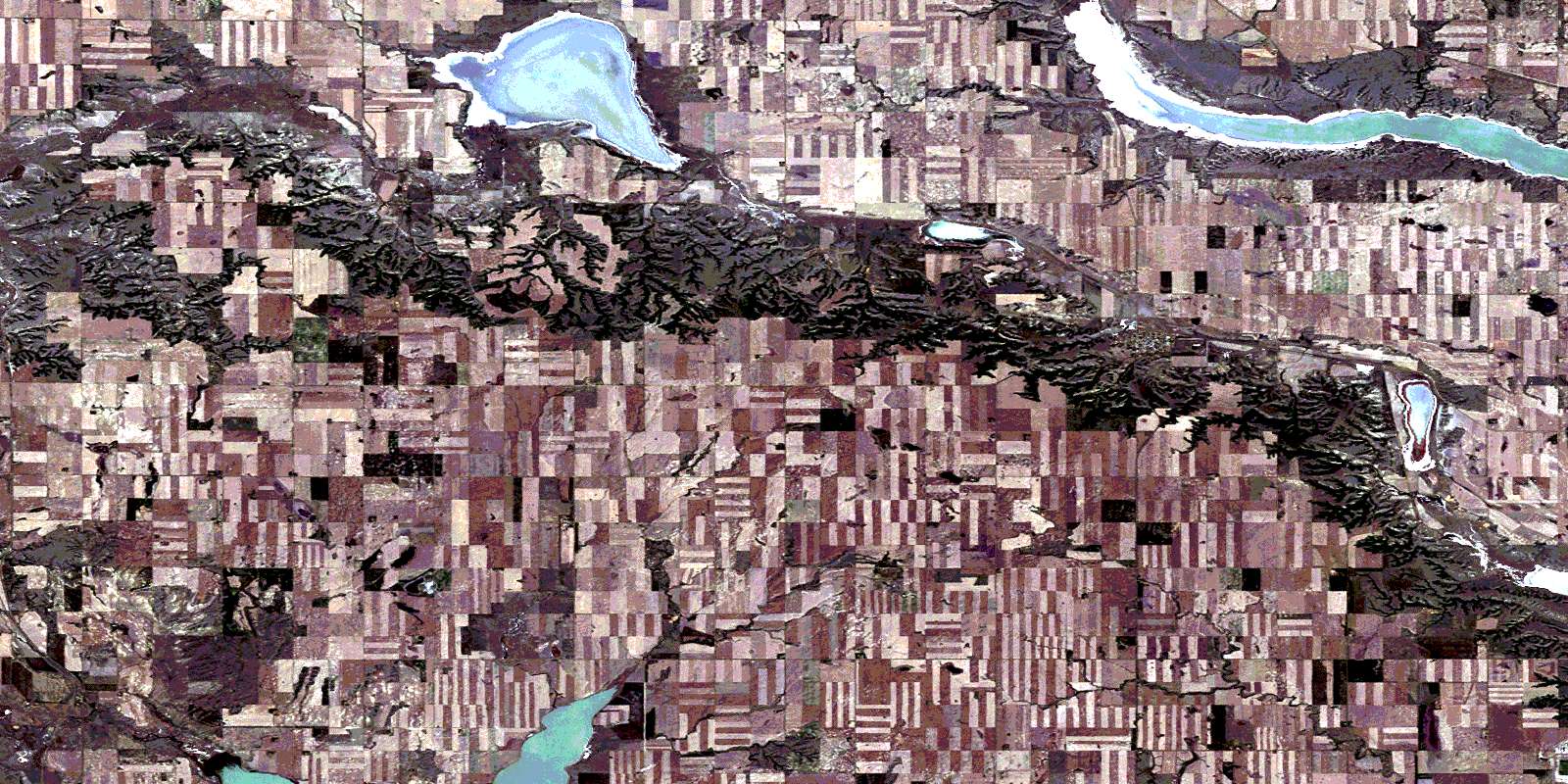
© Department of Natural Resources Canada. All rights reserved.
