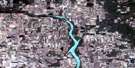
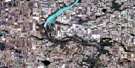
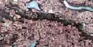
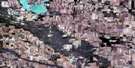
Pangman Satellite Image Map
Download Free Aerial Photo 072H10 at 1:50,000 scale
Pangman Satellite Imagery
To view this satellite map, mouse over the air photo on the right.
You can also download this satellite image map for free:
072H10 Pangman high-resolution satellite image map.
Maps for the Pangman aerial map sheet 072H10 at 1:50,000 scale are also available in these versions:
Pangman Surrounding Area Aerial Photo Maps
 |
 |
 |
 |
 |
 |
 |
 |
 |
 |
 |
 |
 |
 |
 |
 |
© Department of Natural Resources Canada. All rights reserved.
Pangman Gazetteer
The following places can be found on satellite image map 072H10 Pangman:
Pangman Satellite Image: Cliffs
The Missouri CoteauPangman Satellite Image: Hamlets
KhedivePangman Satellite Image: Lakes
Dry LakeKinghorn Lake
Lightfoot Lake
Tucker Lake
Weicker Lake
Pangman Satellite Image: Other municipal/district area - miscellaneous
Bengough No. 40Key West No. 70
Norton No. 69
The Gap No. 39
Pangman Satellite Image: Conservation areas
Ogema Regional ParkPangman Satellite Image: Rivers
Gibson CreekPangman Satellite Image: Towns
OgemaPangman Satellite Image: Unincorporated areas
AmuletBures
Edgeworth
Moreland
Querrin
Wallace
Pangman Satellite Image: Valleys
The GapPangman Satellite Image: Villages
Pangman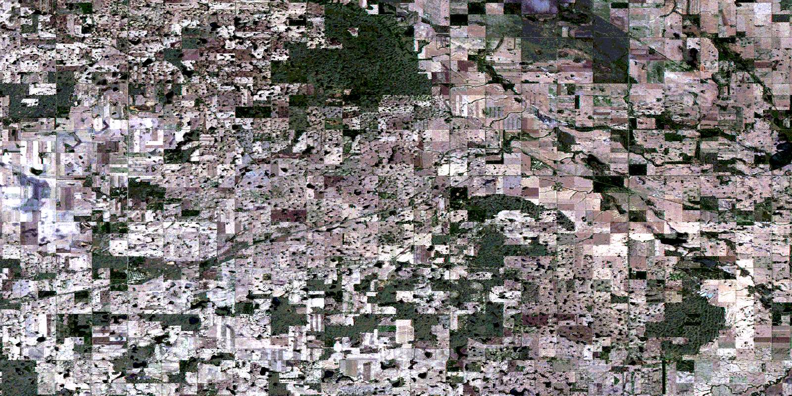
© Department of Natural Resources Canada. All rights reserved.
