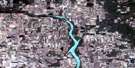
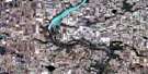
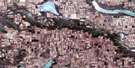
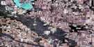
Dummer Satellite Image Map
Download Free Aerial Photo 072H15 at 1:50,000 scale
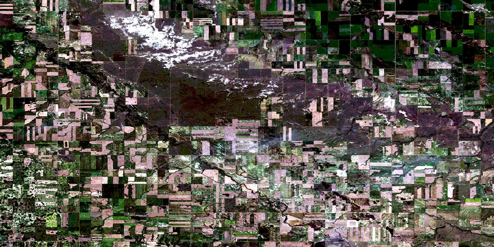
Dummer Satellite Imagery
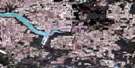
To view this satellite map, mouse over the air photo on the right.
You can also download this satellite image map for free:
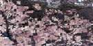
072H15 Dummer high-resolution satellite image map.
Maps for the Dummer aerial map sheet 072H15 at 1:50,000 scale are also available in these versions:
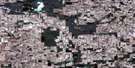
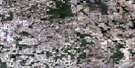
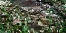
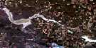
Dummer Surrounding Area Aerial Photo Maps
 |
 |
 |
 |
 |
 |
 |
 |
 |
 |
 |
 |
 |
 |
 |
 |
© Department of Natural Resources Canada. All rights reserved.
Dummer Gazetteer
The following places can be found on satellite image map 072H15 Dummer:
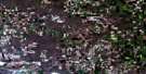
Dummer Satellite Image: Cliffs
The Missouri CoteauDummer Satellite Image: Hamlets
ParryDummer Satellite Image: Indian Reserves
Piapot 75EPiapot Cree First Nation 75F
Piapot Cree First Nation 75G
Piapot Cree First Nation 75H
Piapot Cree First Nation 75I
Piapot Cree First Nation 75J
Piapot Cree First Nation 75K
Dummer Satellite Image: Lakes
Watson ReservoirDummer Satellite Image: Other municipal/district area - miscellaneous
Caledonia No. 99Elmsthorpe No. 100
Key West No. 70
Norton No. 69
Dummer Satellite Image: Conservation areas
Dunnet Regional ParkDummer Satellite Image: Rivers
Avonlea CreekMoose Jaw River
Dummer Satellite Image: Towns
MilestoneDummer Satellite Image: Unincorporated areas
DummerTruax
© Department of Natural Resources Canada. All rights reserved.
