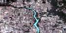
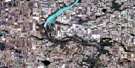
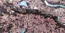
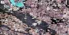
Mossbank Satellite Image Map
Download Free Aerial Photo 072H13 at 1:50,000 scale
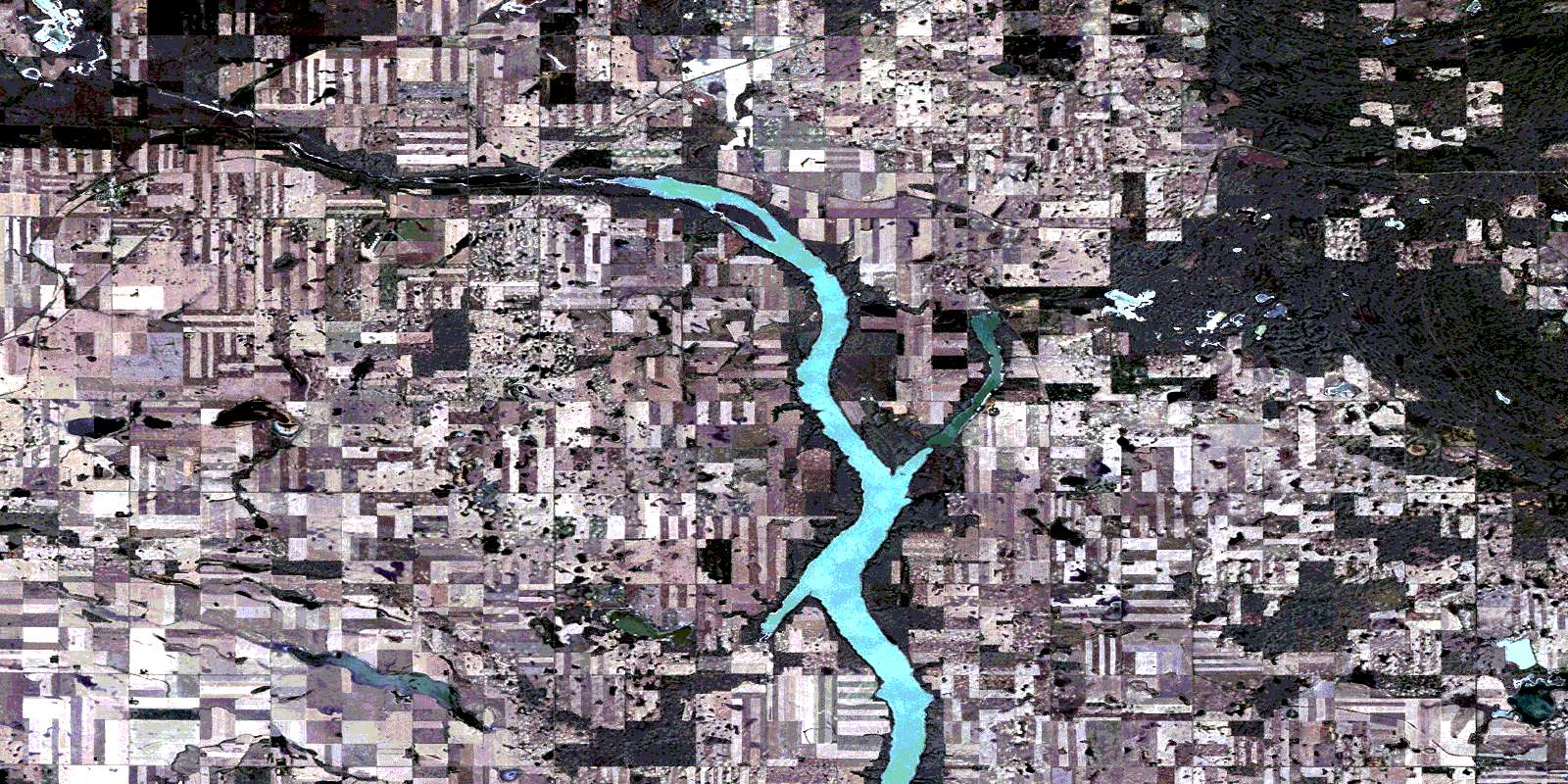
Mossbank Satellite Imagery
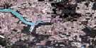
To view this satellite map, mouse over the air photo on the right.
You can also download this satellite image map for free:
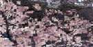
072H13 Mossbank high-resolution satellite image map.
Maps for the Mossbank aerial map sheet 072H13 at 1:50,000 scale are also available in these versions:
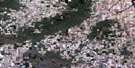
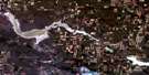
Mossbank Surrounding Area Aerial Photo Maps
 |
 |
 |
 |
 |
 |
 |
 |
 |
 |
 |
 |
 |
 |
 |
 |
© Department of Natural Resources Canada. All rights reserved.
Mossbank Gazetteer
The following places can be found on satellite image map 072H13 Mossbank:
Mossbank Satellite Image: Cliffs
The Missouri CoteauMossbank Satellite Image: Hamlets
ArdillCrane Valley
Mossbank Satellite Image: Lakes
Bliss LakeLake of the Rivers
Mossbank Satellite Image: Other municipal/district area - miscellaneous
Excel No. 71Lake Johnston No. 102
Lake of The Rivers No. 72
Terrell No. 101
Mossbank Satellite Image: Rivers
Clarke CreekMossbank Satellite Image: Towns
MossbankMossbank Satellite Image: Unincorporated areas
CardrossExpanse
Galilee
Mitchellton
© Department of Natural Resources Canada. All rights reserved.
