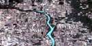
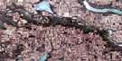
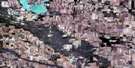
Lake Alma Satellite Image Map
Download Free Aerial Photo 072H01 at 1:50,000 scale
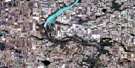
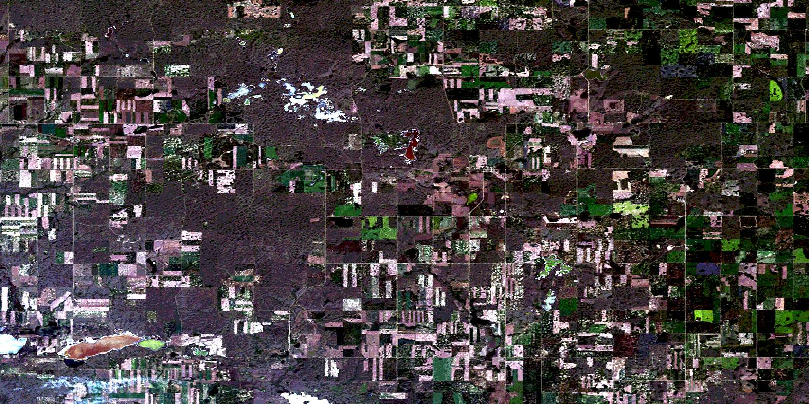
Lake Alma Satellite Imagery
To view this satellite map, mouse over the air photo on the right.
You can also download this satellite image map for free:
072H01 Lake Alma high-resolution satellite image map.
Maps for the Lake Alma aerial map sheet 072H01 at 1:50,000 scale are also available in these versions:
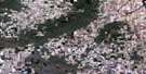
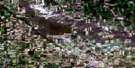
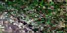
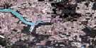
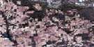
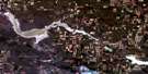
Lake Alma Surrounding Area Aerial Photo Maps
 |
 |
 |
 |
 |
 |
 |
 |
 |
 |
 |
 |
 |
 |
 |
 |
© Department of Natural Resources Canada. All rights reserved.
Lake Alma Gazetteer
The following places can be found on satellite image map 072H01 Lake Alma:
Lake Alma Satellite Image: Hamlets
BeaubierLake Alma Satellite Image: Lakes
Alkali LakeAlma Lake
Coutlee Lake
East Coteau Lake
Labatte Lake
Lonetree Lake
Mather Lake
Overland Lake
Payn Lake
Sandoff Lake
Sybouts Lake
Wellington Lake
West Coteau Lake
Lake Alma Satellite Image: Other municipal/district area - miscellaneous
Lake Alma No. 8Lake Alma Satellite Image: Rivers
Reserve CreekLake Alma Satellite Image: Unincorporated areas
BloomingSybouts
Lake Alma Satellite Image: Villages
GladmarLake Alma
© Department of Natural Resources Canada. All rights reserved.
