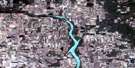
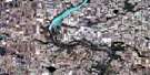
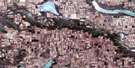
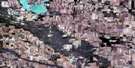
Lang Satellite Image Map
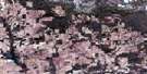
Download Free Aerial Photo 072H16 at 1:50,000 scale
Lang Satellite Imagery
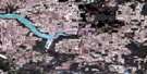
To view this satellite map, mouse over the air photo on the right.
You can also download this satellite image map for free:
072H16 Lang high-resolution satellite image map.
Maps for the Lang aerial map sheet 072H16 at 1:50,000 scale are also available in these versions:
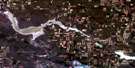
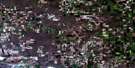
Lang Surrounding Area Aerial Photo Maps
 |
 |
 |
 |
 |
 |
 |
 |
 |
 |
 |
 |
 |
 |
 |
 |
© Department of Natural Resources Canada. All rights reserved.
Lang Gazetteer
The following places can be found on satellite image map 072H16 Lang:
Lang Satellite Image: Cliffs
The Missouri CoteauLang Satellite Image: Hydraulic construction
Yellow Grass DitchLang Satellite Image: Lakes
Buttermilk LakesIbsen Lake
Lennox Lake
Lang Satellite Image: Other municipal/district area - miscellaneous
Brokenshell No. 68Caledonia No. 99
Norton No. 69
Scott No. 98
Wellington No. 97
Weyburn No. 67
Lang Satellite Image: Rivers
Brokenshell CreekColfax Creek
Moose Jaw River
Souris River
Lang Satellite Image: Towns
Yellow GrassLang Satellite Image: Unincorporated areas
BrightmoreIbsen
Lang Satellite Image: Villages
Lang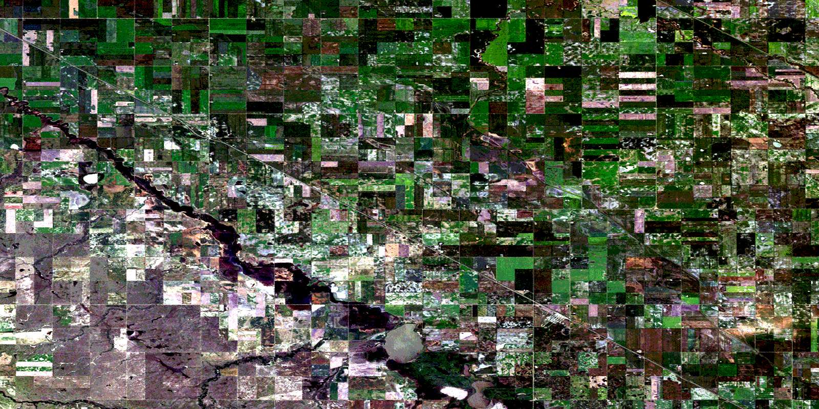
© Department of Natural Resources Canada. All rights reserved.
