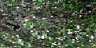
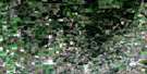
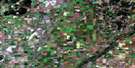
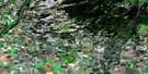
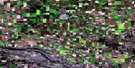
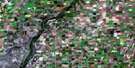
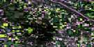
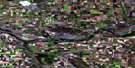
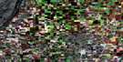
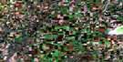
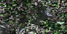
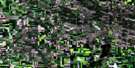
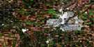
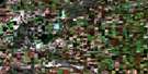
Aberdeen Satellite Image Map
Download Free Aerial Photo 073B08 at 1:50,000 scale
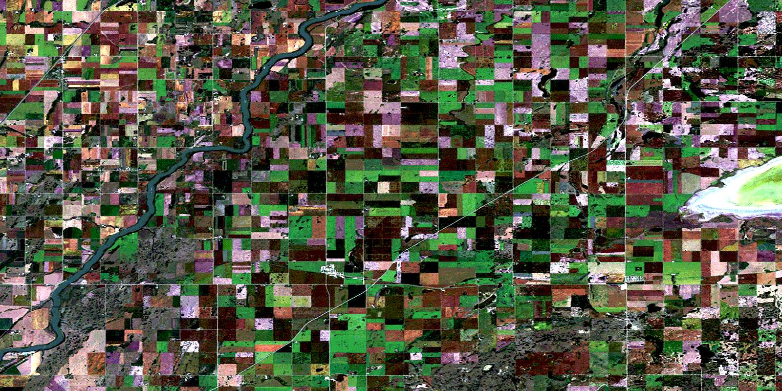
Aberdeen Satellite Imagery
To view this satellite map, mouse over the air photo on the right.
You can also download this satellite image map for free:
073B08 Aberdeen high-resolution satellite image map.
Maps for the Aberdeen aerial map sheet 073B08 at 1:50,000 scale are also available in these versions:
Aberdeen Surrounding Area Aerial Photo Maps
 |
 |
 |
 |
 |
 |
 |
 |
 |
 |
 |
 |
 |
 |
 |
 |
© Department of Natural Resources Canada. All rights reserved.
Aberdeen Gazetteer
The following places can be found on satellite image map 073B08 Aberdeen:
Aberdeen Satellite Image: Hamlets
BlumenthalNeuanlage
Aberdeen Satellite Image: Lakes
Buffer LakeSmuts Lake
Vonda Lake
Aberdeen Satellite Image: Other municipal/district area - miscellaneous
Aberdeen No. 373Corman Park No. 344
Fish Creek No. 402
Grant No. 372
Rosthern No. 403
Aberdeen Satellite Image: Rivers
Fish CreekRivière Saskatchewan Sud
South Saskatchewan River
Aberdeen Satellite Image: Towns
AberdeenVonda
Aberdeen Satellite Image: Unincorporated areas
BlumenheimBlumentahe
Clarkboro
Hochstadt
Laniwci
Rak
Rheinland
Smuts
© Department of Natural Resources Canada. All rights reserved.
