Maymont Satellite Image Map
Download Free Aerial Photo 073B12 at 1:50,000 scale
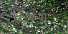
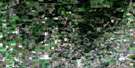
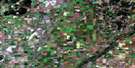
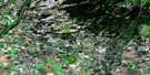
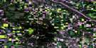
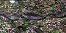
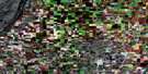
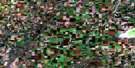
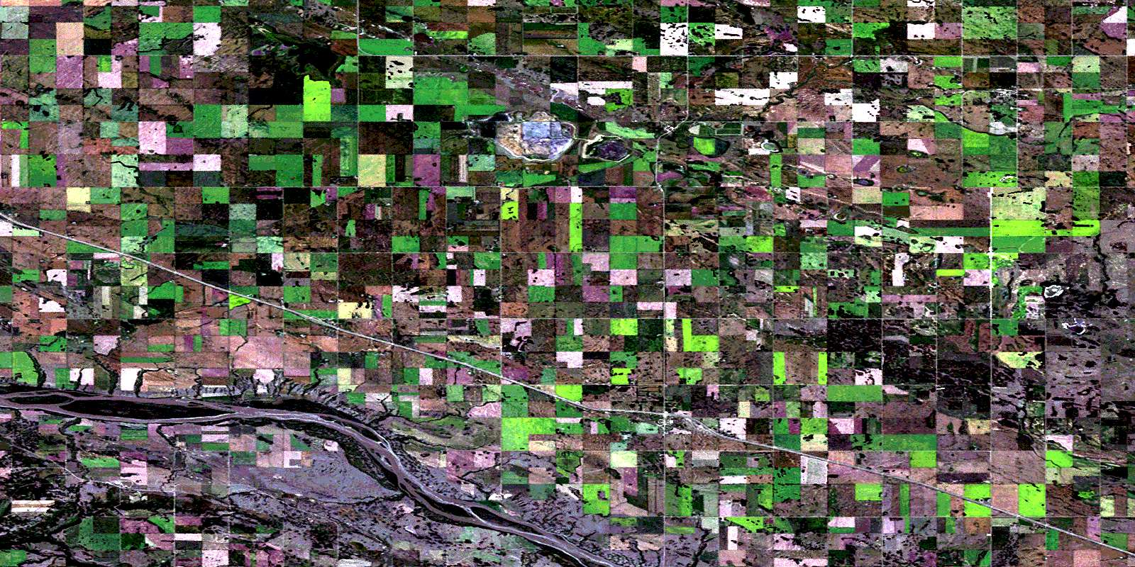
Maymont Satellite Imagery
To view this satellite map, mouse over the air photo on the right.
You can also download this satellite image map for free:
073B12 Maymont high-resolution satellite image map.
Maps for the Maymont aerial map sheet 073B12 at 1:50,000 scale are also available in these versions:
Maymont Surrounding Area Aerial Photo Maps
 |
 |
 |
 |
 |
 |
 |
 |
 |
 |
 |
 |
 |
 |
 |
 |
© Department of Natural Resources Canada. All rights reserved.
Maymont Gazetteer
The following places can be found on satellite image map 073B12 Maymont:
Maymont Satellite Image: Cliffs
The CoteauMaymont Satellite Image: Indian Reserves
Sweet Grass 113-L6Maymont Satellite Image: Islands
Beaton IslandMaymont Satellite Image: Other municipal/district area - miscellaneous
Douglas No. 436Glenside No. 377
Mayfield No. 406
North Battleford No. 437
Maymont Satellite Image: Conservation areas
Glenburn Regional ParkMaymont Satellite Image: Rivers
Baljennie CreekNorth Saskatchewan River
Rivière Saskatchewan Nord
Maymont Satellite Image: Unincorporated areas
BaljennieFielding
Lilac
Maymont Satellite Image: Villages
MaymontRichard
Ruddell
Speers
© Department of Natural Resources Canada. All rights reserved.
