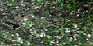
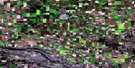
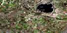
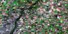
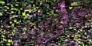
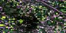
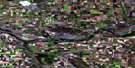
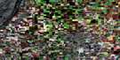
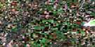
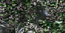
Mayfair Satellite Image Map
Download Free Aerial Photo 073B13 at 1:50,000 scale
Mayfair Satellite Imagery
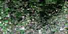
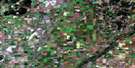
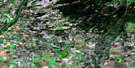
To view this satellite map, mouse over the air photo on the right.
You can also download this satellite image map for free:
073B13 Mayfair high-resolution satellite image map.
Maps for the Mayfair aerial map sheet 073B13 at 1:50,000 scale are also available in these versions:
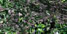
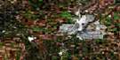
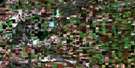
Mayfair Surrounding Area Aerial Photo Maps
 |
 |
 |
 |
 |
 |
 |
 |
 |
 |
 |
 |
 |
 |
 |
 |
© Department of Natural Resources Canada. All rights reserved.
Mayfair Gazetteer
The following places can be found on satellite image map 073B13 Mayfair:
Mayfair Satellite Image: Hamlets
MayfairMayfair Satellite Image: Indian Reserves
Moosomin 112MMosquito Grizzly Bear's Head Lean Man TLE 1
Saulteaux 159U
Mayfair Satellite Image: Lakes
Acton LakeFox Lake
Howard Lake
Island Lake
Narrow Lake
Russell Lake
Stewart Lake
Whitehill Lakes
Wolf Lake
Mayfair Satellite Image: Mountains
Whitewood HillsMayfair Satellite Image: Other municipal/district area - miscellaneous
Douglas No. 436Meeting Lake No. 466
North Battleford No. 437
Round Hill No. 467
Mayfair Satellite Image: Rivers
Page CreekMayfair Satellite Image: Unincorporated areas
Green CanyonRavenhead
Redfield
Whitkow

© Department of Natural Resources Canada. All rights reserved.
