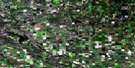
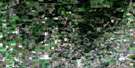
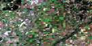
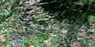
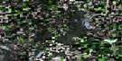
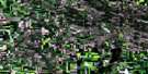
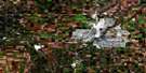
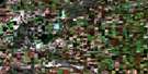
Waldheim Satellite Image Map
Download Free Aerial Photo 073B10 at 1:50,000 scale
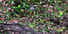
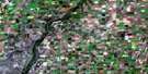
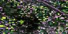
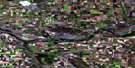
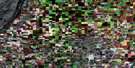
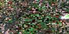
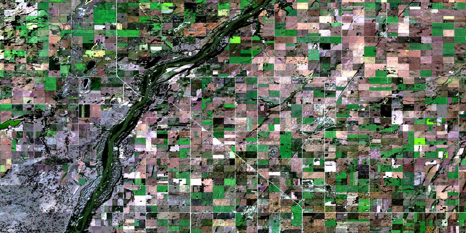
Waldheim Satellite Imagery
To view this satellite map, mouse over the air photo on the right.
You can also download this satellite image map for free:
073B10 Waldheim high-resolution satellite image map.
Maps for the Waldheim aerial map sheet 073B10 at 1:50,000 scale are also available in these versions:
Waldheim Surrounding Area Aerial Photo Maps
 |
 |
 |
 |
 |
 |
 |
 |
 |
 |
 |
 |
 |
 |
 |
 |
© Department of Natural Resources Canada. All rights reserved.
Waldheim Gazetteer
The following places can be found on satellite image map 073B10 Waldheim:
Waldheim Satellite Image: Islands
Ratzlaff IslandReddekopp Island
Waldheim Satellite Image: Lakes
Boulanoff LakeCarmen Lake
Epp Lake
Fast Lake
Horner Lake
Makaroff Lake
Moffat Lake
Nesdoly Lake
Postnikoff Lake
Rabbit Lake
Waldheim Satellite Image: Other municipal/district area - miscellaneous
Blaine Lake No. 434Great Bend No. 405
Laird No. 404
Rosthern No. 403
Waldheim Satellite Image: Conservation areas
Blaine Lake Game PreservePetrofka Recreation Site
Valley Regional Park (Waldheim Section)
Waldheim Satellite Image: Rivers
Friesen CreekKohleschmidt Creek
North Saskatchewan River
Radouga Creek
Rivière Saskatchewan Nord
Waldheim Satellite Image: Springs
Oospenia SpringPetrofka Spring
Waldheim Satellite Image: Towns
WaldheimWaldheim Satellite Image: Unincorporated areas
ChortitzPetrofka
Waldheim Satellite Image: Villages
HepburnLaird
© Department of Natural Resources Canada. All rights reserved.
