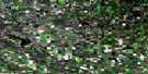
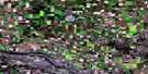
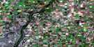
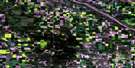
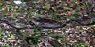
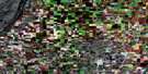
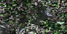
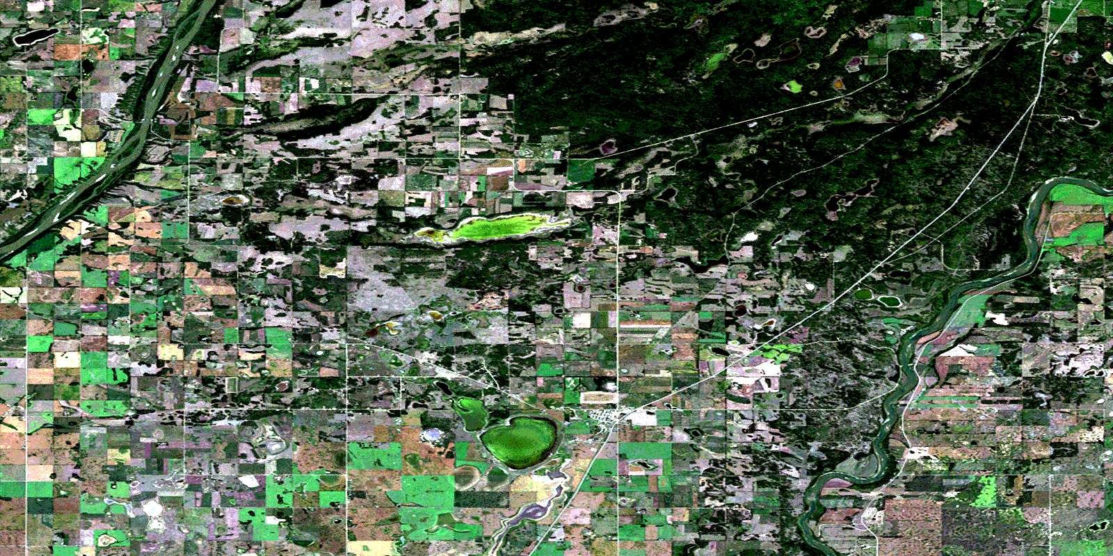
Duck Lake Satellite Image Map
Download Free Aerial Photo 073B16 at 1:50,000 scale
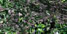
Duck Lake Satellite Imagery
To view this satellite map, mouse over the air photo on the right.
You can also download this satellite image map for free:
073B16 Duck Lake high-resolution satellite image map.
Maps for the Duck Lake aerial map sheet 073B16 at 1:50,000 scale are also available in these versions:
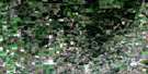
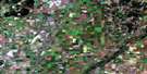
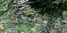
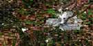
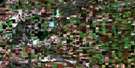
Duck Lake Surrounding Area Aerial Photo Maps
 |
 |
 |
 |
 |
 |
 |
 |
 |
 |
 |
 |
 |
 |
 |
 |
© Department of Natural Resources Canada. All rights reserved.
Duck Lake Gazetteer
The following places can be found on satellite image map 073B16 Duck Lake:
Duck Lake Satellite Image: Indian Reserves
Beardy's & Okemasis 96 & 97-BBeardy's 97 and Okemasis 96
Okemasis 96 and Beardy's 97 Indian Reserve
One Arrow 95-1B
One Arrow 95-1D
One Arrow 95-1F
One Arrow 95-1G
One Arrow 95-1I
Réserve indienne Okemasis 96 and Beardy's 97
TipahmatoAski 95A
Willow Cree
Duck Lake Satellite Image: Lakes
Adamson LakeDuck Lake
Lac Chitac
Lobstick Lake
Okemasis Lake
Possum Lake
Roddick Lake
Stoney Lake
Wrench Lake
Duck Lake Satellite Image: Other municipal/district area - miscellaneous
Blaine Lake No. 434Duck Lake No. 463
Leask No. 464
Prince Albert No. 461
Rosthern No. 403
St. Louis No. 431
Duck Lake Satellite Image: Conservation areas
Batoche National Historic Site of CanadaCarlton Trail Provincial Historic Site
Lieu historique national du Canada de Batoche
Nisbet Provincial Forest
South Branch House Historic Site
South Branch House Provincial Historic Site
Duck Lake Satellite Image: Rivers
Kohleschmidt CreekMcFarlane Creek
North Saskatchewan River
Rivière Saskatchewan Nord
Rivière Saskatchewan Sud
South Saskatchewan River
Duck Lake Satellite Image: Towns
Duck LakeDuck Lake Satellite Image: Unincorporated areas
CarltonGarthland
Roddick
Silver Grove
St-Laurent-Grandin
Titanic
Wingard
© Department of Natural Resources Canada. All rights reserved.
