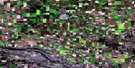
Blaine Lake Satellite Image Map
Download Free Aerial Photo 073B15 at 1:50,000 scale
Blaine Lake Satellite Imagery
To view this satellite map, mouse over the air photo on the right.
You can also download this satellite image map for free:
073B15 Blaine Lake high-resolution satellite image map.
Maps for the Blaine Lake aerial map sheet 073B15 at 1:50,000 scale are also available in these versions:
Blaine Lake Surrounding Area Aerial Photo Maps
 |
 |
 |
 |
 |
 |
 |
 |
 |
 |
 |
 |
 |
 |
 |
 |
© Department of Natural Resources Canada. All rights reserved.
Blaine Lake Gazetteer
The following places can be found on satellite image map 073B15 Blaine Lake:
Blaine Lake Satellite Image: Indian Reserves
Asimakaniseekan Askiy 102ABeardy's & Okemasis 96 & 97-C
Muskeg Lake 102E
Muskeg Lake 102H
Muskeg Lake 102J
Muskeg Lake 102L
Muskeg Lake Cree Nation 102
Muskeg Lake Indian Reserve 102
Muskeg Lake Indian Reserve 102A
Réserve indienne Muskeg Lake 102
Réserve indienne Muskeg Lake 102A
Blaine Lake Satellite Image: Lakes
Arbour LakesAshe Lake
Blaine Lake
Blaine Lakes
Flat Lake
Gillies Lake
Lac Natal
Martins Lake
Nesdoly Lake
Old Witch Lake
Paddling Lake
Windsor Lake
Blaine Lake Satellite Image: Other municipal/district area - miscellaneous
Blaine Lake No. 434Duck Lake No. 463
Laird No. 404
Leask No. 464
Rosthern No. 403
Blaine Lake Satellite Image: Conservation areas
Fort Carlton Provincial Historic SiteFort Carlton Provincial Park
Martins Lake Regional Park
Blaine Lake Satellite Image: Rivers
Casavant CreekNorth Saskatchewan River
Radouga Creek
Rivière Saskatchewan Nord
Blaine Lake Satellite Image: Springs
Oospenia SpringBlaine Lake Satellite Image: Towns
Blaine LakeBlaine Lake Satellite Image: Unincorporated areas
CarltonTallman
Wandsworth
Windsor Lake
Blaine Lake Satellite Image: Villages
Marcelin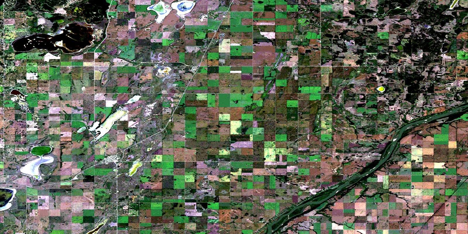
© Department of Natural Resources Canada. All rights reserved.
