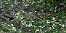
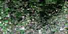
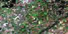
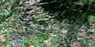
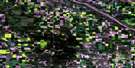
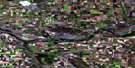
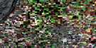
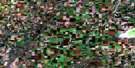
Hafford Satellite Image Map
Download Free Aerial Photo 073B11 at 1:50,000 scale
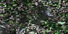
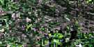
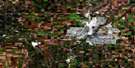
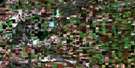
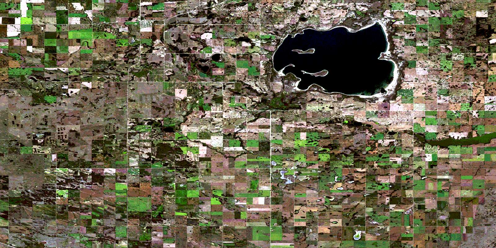
Hafford Satellite Imagery
To view this satellite map, mouse over the air photo on the right.
You can also download this satellite image map for free:
073B11 Hafford high-resolution satellite image map.
Maps for the Hafford aerial map sheet 073B11 at 1:50,000 scale are also available in these versions:
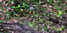
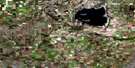
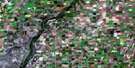
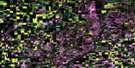
Hafford Surrounding Area Aerial Photo Maps
 |
 |
 |
 |
 |
 |
 |
 |
 |
 |
 |
 |
 |
 |
 |
 |
© Department of Natural Resources Canada. All rights reserved.
Hafford Gazetteer
The following places can be found on satellite image map 073B11 Hafford:
Hafford Satellite Image: Bays
Fedeyko BaySwystun Bay
Hafford Satellite Image: Hamlets
Eagle Ridge Country EstatesHafford Satellite Image: Indian Reserves
Saulteaux First Nation 159XHafford Satellite Image: Islands
Gramiak IslandHafford Satellite Image: Lakes
Bramble LakesDeditch Lake
Dunn Lake
Lost Lake
Meadow Lake
Rabbit Lake
Redberry Lake
Roth Lake
Tomman Lake
Hafford Satellite Image: Other municipal/district area - miscellaneous
Blaine Lake No. 434Douglas No. 436
Great Bend No. 405
Mayfield No. 406
Redberry No. 435
Hafford Satellite Image: Conservation areas
Redberry Lake Bird SanctuaryRedberry Lake Regional Park
Redberry Wildlife Refuge
Refuge d'oiseaux du lac Redberry
Hafford Satellite Image: Rivers
Marshy CreekHafford Satellite Image: Towns
HaffordHafford Satellite Image: Unincorporated areas
Great DeerOrolow
Redberry
Redberry Park
© Department of Natural Resources Canada. All rights reserved.
