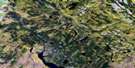
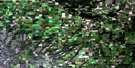
Big River Satellite Image Map
Download Free Aerial Photo 073G14 at 1:50,000 scale
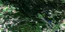
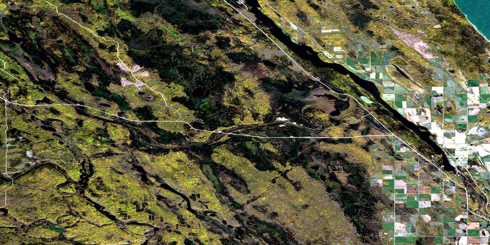
Big River Satellite Imagery
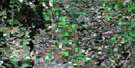
To view this satellite map, mouse over the air photo on the right.
You can also download this satellite image map for free:
073G14 Big River high-resolution satellite image map.
Maps for the Big River aerial map sheet 073G14 at 1:50,000 scale are also available in these versions:
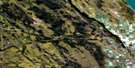
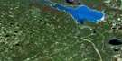
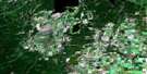
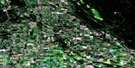
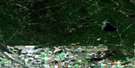
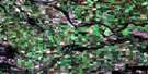
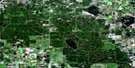
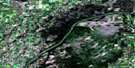
Big River Surrounding Area Aerial Photo Maps
 |
 |
 |
 |
 |
 |
 |
 |
 |
 |
 |
 |
 |
 |
 |
 |
© Department of Natural Resources Canada. All rights reserved.
Big River Gazetteer
The following places can be found on satellite image map 073G14 Big River:
Big River Satellite Image: Bays
Hay BayBig River Satellite Image: Capes
Cable PointHoneymoon Point
Big River Satellite Image: Islands
Craddock IslandBig River Satellite Image: Lakes
Blackduck LakeChute Lake
Cowan Lake
Coyote Lake
Deep Lake
Delaronde Lake
Egg Lake
Fish Lake
Gillatt Lake
Heron Lake
Ladder Lake
Little Ladder Lake
Loon Lakes
McRobb Lake
Mogalki Lake
Otter Lake
Pankoski Lake
Pawlitza Lake
Sharp Lake
Utai Lake
Big River Satellite Image: Mountains
Leoville HillsBig River Satellite Image: Other municipal/district area - miscellaneous
Big River No. 555Meadow Lake No. 588
Big River Satellite Image: Conservation areas
Big River Regional ParkBig River Satellite Image: Rivers
Big RiverLadder Creek
Otter Creek
Big River Satellite Image: Towns
Big RiverBig River Satellite Image: Unincorporated areas
BodminTimberlost
© Department of Natural Resources Canada. All rights reserved.
