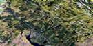
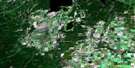
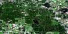
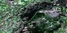
Witchekan Lake Satellite Image Map
Download Free Aerial Photo 073G05 at 1:50,000 scale
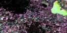
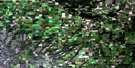
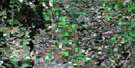
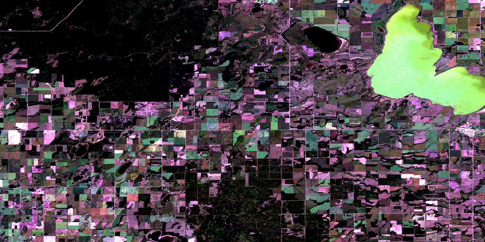
Witchekan Lake Satellite Imagery
To view this satellite map, mouse over the air photo on the right.
You can also download this satellite image map for free:
073G05 Witchekan Lake high-resolution satellite image map.
Maps for the Witchekan Lake aerial map sheet 073G05 at 1:50,000 scale are also available in these versions:
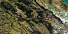
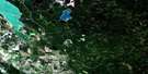
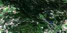
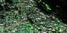
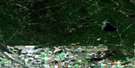
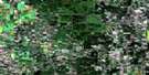
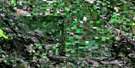
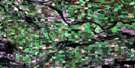
Witchekan Lake Surrounding Area Aerial Photo Maps
 |
 |
 |
 |
 |
 |
 |
 |
 |
 |
 |
 |
 |
 |
 |
 |
© Department of Natural Resources Canada. All rights reserved.
Witchekan Lake Gazetteer
The following places can be found on satellite image map 073G05 Witchekan Lake:
Witchekan Lake Satellite Image: Indian Reserves
Moosomin 112GPelican Lake 191C
Witchekan Lake 117
Witchekan Lake 117-D
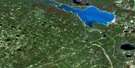
Witchekan Lake Satellite Image: Lakes
Deserter LakeFafard Lake
Idylwild Lake
Lost Trap Lake
Scandinavian Lake
Shuwapss Lake
Sylvander Lake
Witchekan Lake
Witchekan Lake Satellite Image: Other municipal/district area - miscellaneous
Medstead No. 497Spiritwood No. 496
Witchekan Lake Satellite Image: Conservation areas
Northern Provincial ForestWitchekan Lake Satellite Image: Rivers
Idylwild CreekShuwapss Creek
Witchekan Lake Satellite Image: Towns
SpiritwoodWitchekan Lake Satellite Image: Unincorporated areas
AveryBapaume
Bazentin
Belbutte
Glenbush
Laventure
Little Buffalo
Witchekan
© Department of Natural Resources Canada. All rights reserved.
