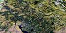
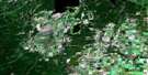
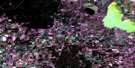
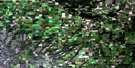
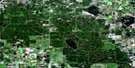
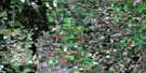
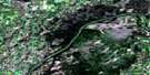
Mildred Satellite Image Map
Download Free Aerial Photo 073G06 at 1:50,000 scale
Mildred Satellite Imagery
To view this satellite map, mouse over the air photo on the right.
You can also download this satellite image map for free:
073G06 Mildred high-resolution satellite image map.
Maps for the Mildred aerial map sheet 073G06 at 1:50,000 scale are also available in these versions:
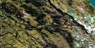
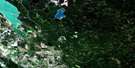
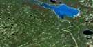
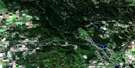
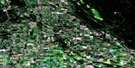
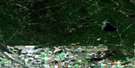
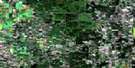
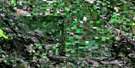
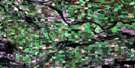
Mildred Surrounding Area Aerial Photo Maps
 |
 |
 |
 |
 |
 |
 |
 |
 |
 |
 |
 |
 |
 |
 |
 |
© Department of Natural Resources Canada. All rights reserved.
Mildred Gazetteer
The following places can be found on satellite image map 073G06 Mildred:
Mildred Satellite Image: Indian Reserves
Atakakup Indian Reserve 104Big River 118A
Mildred Satellite Image: Lakes
Alloa LakeBland Lake
Camp Lake
Fish Lake
Larsen Lake
Little Shell Lake
Lobo Lake
Lobo Lakes
Memorial Lake
Morin Lake
Pitch Lake
Witchekan Lake
Mildred Satellite Image: Other municipal/district area - miscellaneous
Canwood No. 494Spiritwood No. 496
Mildred Satellite Image: Conservation areas
Memorial Lake Regional ParkMorin Lake Regional Park
Mildred Satellite Image: Rivers
Norbury CreekShell Brook
Mildred Satellite Image: Unincorporated areas
AmiensMildred
Norbury
Paddling Lake
Victoire
Mildred Satellite Image: Villages
Shell Lake
© Department of Natural Resources Canada. All rights reserved.
