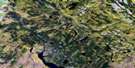
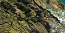
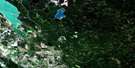
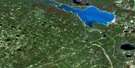
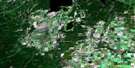
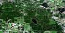
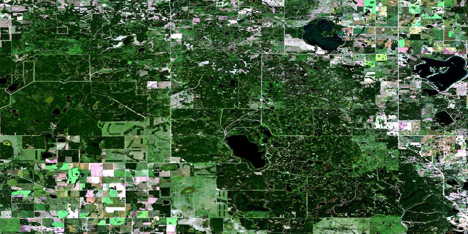
Mistawasis Lake Satellite Image Map
Download Free Aerial Photo 073G03 at 1:50,000 scale
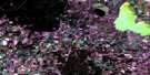
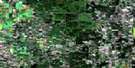
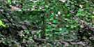
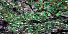
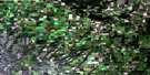
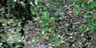
Mistawasis Lake Satellite Imagery
To view this satellite map, mouse over the air photo on the right.
You can also download this satellite image map for free:
073G03 Mistawasis Lake high-resolution satellite image map.
Maps for the Mistawasis Lake aerial map sheet 073G03 at 1:50,000 scale are also available in these versions:
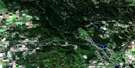
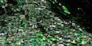
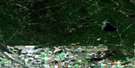
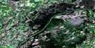
Mistawasis Lake Surrounding Area Aerial Photo Maps
 |
 |
 |
 |
 |
 |
 |
 |
 |
 |
 |
 |
 |
 |
 |
 |
© Department of Natural Resources Canada. All rights reserved.
Mistawasis Lake Gazetteer
The following places can be found on satellite image map 073G03 Mistawasis Lake:
Mistawasis Lake Satellite Image: Bays
Hodgins BayMistawasis Lake Satellite Image: Hamlets
Iroquois LakePelican Cove
Mistawasis Lake Satellite Image: Indian Reserves
Lake Pitihkwakew 102BLucky Man
Moosomin 112L
Muskeg Lake 102B
Mistawasis Lake Satellite Image: Lakes
Alloa LakeIroquois Lake
Larsen Lake
Leslie Lake
Martins Lake
Mistawasis Lake
Perch Lake
Shell Lake
Wawgaw Lake
Mistawasis Lake Satellite Image: Mountains
Thickwood HillsMistawasis Lake Satellite Image: Other municipal/district area - miscellaneous
Canwood No. 494Leask No. 464
Meeting Lake No. 466
Spiritwood No. 496
Mistawasis Lake Satellite Image: Conservation areas
Big Shell Lake Recreation SiteMartins Lake Regional Park
Mistawasis Lake Satellite Image: Rivers
Shell BrookWawgaw Creek
Mistawasis Lake Satellite Image: Unincorporated areas
DamourPaddling Lake
Sand Beach
Wood Hill
Mistawasis Lake Satellite Image: Villages
Big ShellEcho Bay
Pebble Baye
© Department of Natural Resources Canada. All rights reserved.
