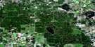
Waskesiu Lake Satellite Image Map
Download Free Aerial Photo 073G16 at 1:50,000 scale
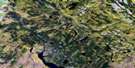
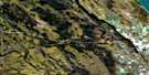
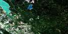
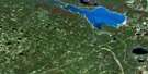
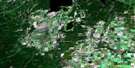
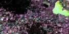
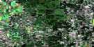
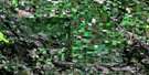
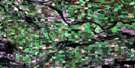
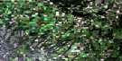
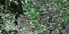
Waskesiu Lake Satellite Imagery
To view this satellite map, mouse over the air photo on the right.
You can also download this satellite image map for free:
073G16 Waskesiu Lake high-resolution satellite image map.
Maps for the Waskesiu Lake aerial map sheet 073G16 at 1:50,000 scale are also available in these versions:
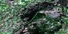
Waskesiu Lake Surrounding Area Aerial Photo Maps
 |
 |
 |
 |
 |
 |
 |
 |
 |
 |
 |
 |
 |
 |
 |
 |
© Department of Natural Resources Canada. All rights reserved.
Waskesiu Lake Gazetteer
The following places can be found on satellite image map 073G16 Waskesiu Lake:
Waskesiu Lake Satellite Image: Bays
South BayWaskesiu Lake Satellite Image: Capes
Clare PointProspect Point
Waskesiu Lake Satellite Image: Channels
First NarrowsSecond Narrows
Waskesiu Lake Satellite Image: Islands
King IslandWaskesiu Lake Satellite Image: Lakes
Amiskowan LakeAntoine Lake
Base Lake
Battle Lake
Beartrack Lake
Beartrap Lake
Beetle Lake
Crooked Lake
Deadwood Lake
Dog Lake
Halfmoon Lake
Hanging Heart Lake
Moccasin Lake
Moose Lake
Namekus Lake
Nimrod Lake
O'Leary Lake
Parish Lake
Shady Lake
Thirty Lake
Trappers Lake
Twin Lakes
Waskesiu Lake
Wawe Lake
Wolf Lake
Yotin Lakes
Waskesiu Lake Satellite Image: Mountains
Delworth HillNimrod Hill
Nimrod Hills
Waskesiu Hills
Waskesiu Lake Satellite Image: Other municipal/district area - miscellaneous
Lakeland No. 521Waskesiu Lake Satellite Image: Conservation areas
Parc national du Canada de Prince AlbertPrince Albert National Park of Canada
Waskesiu Lake Satellite Image: Rivers
Beartrap CreekBeetle Creek
Bitter Creek
Cowan Creek
Deadwood Creek
Lofthouse Brook
Moose Creek
Spruce River
Sturgeon River
Waskesiu River
Waskesiu Lake Satellite Image: River features
The ForksWaskesiu Lake Satellite Image: Road features
56 TrailNimrod Lake Trail
Spruce River Trail
Waskesiu Lake Satellite Image: Unincorporated areas
Waskesiu Lake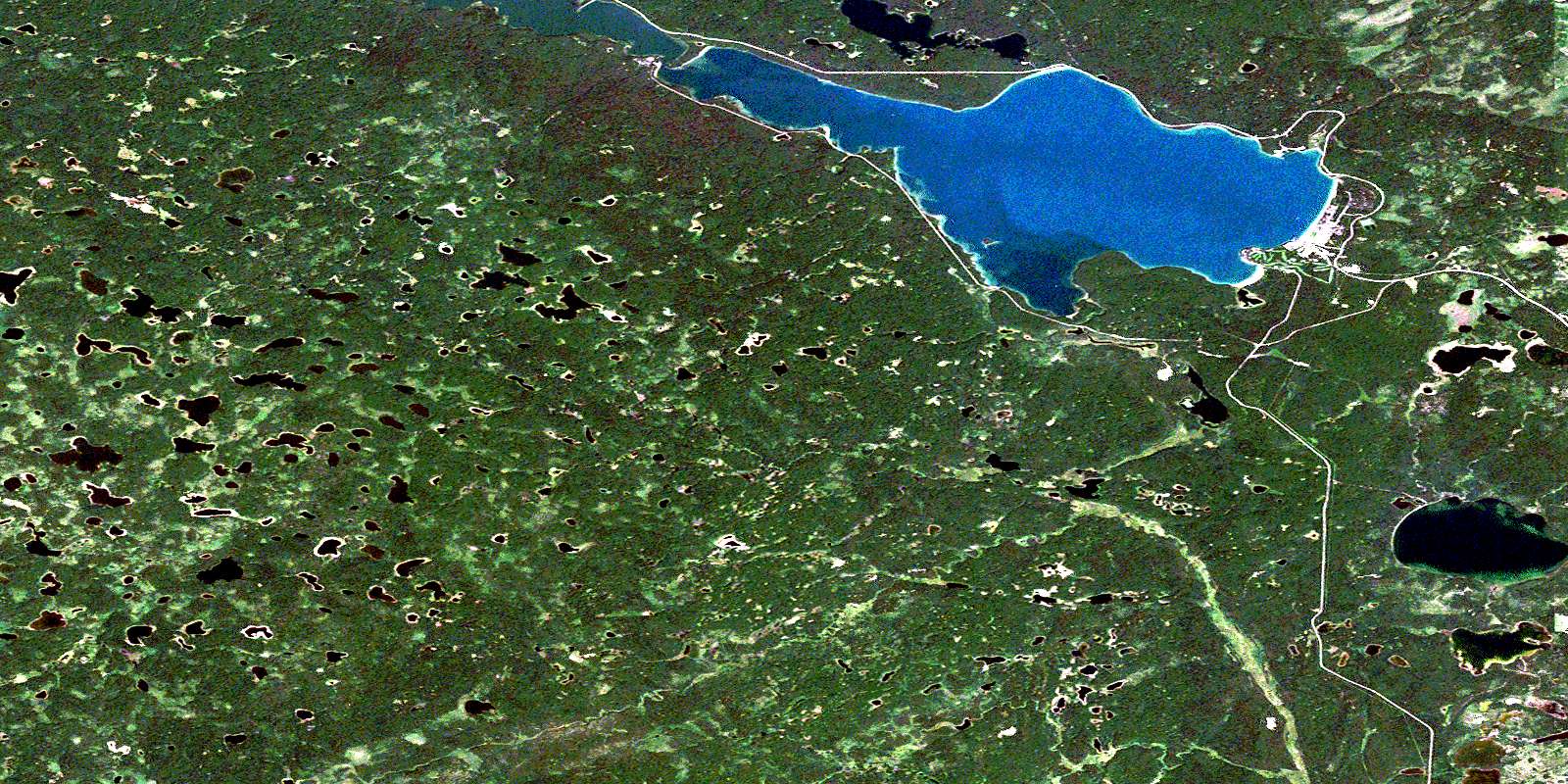
© Department of Natural Resources Canada. All rights reserved.
