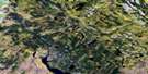
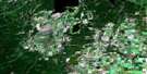
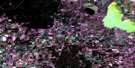
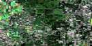
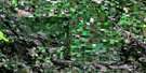
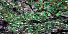
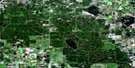
Wild Rose Satellite Image Map
Download Free Aerial Photo 073G08 at 1:50,000 scale
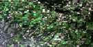
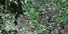
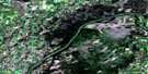
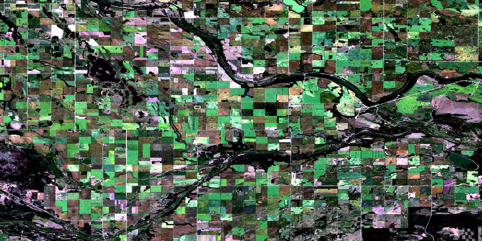
Wild Rose Satellite Imagery
To view this satellite map, mouse over the air photo on the right.
You can also download this satellite image map for free:
073G08 Wild Rose high-resolution satellite image map.
Maps for the Wild Rose aerial map sheet 073G08 at 1:50,000 scale are also available in these versions:
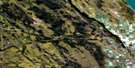
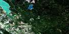
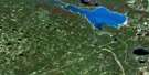
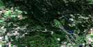
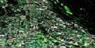
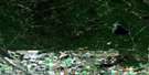
Wild Rose Surrounding Area Aerial Photo Maps
 |
 |
 |
 |
 |
 |
 |
 |
 |
 |
 |
 |
 |
 |
 |
 |
© Department of Natural Resources Canada. All rights reserved.
Wild Rose Gazetteer
The following places can be found on satellite image map 073G08 Wild Rose:
Wild Rose Satellite Image: Indian Reserves
Sturgeon Lake 101Sturgeon Lake 101A
Wild Rose Satellite Image: Lakes
Bear LakeBig Sucker Lake
Buck Lake
Camp Lake
Cox Lake
Egg Lake
Pierce Lake
Ross Lake
Round Lake
Rush Lake
Sturgeon Lake
Sucker Lake
Von Mehren Lake
Zimmer Lake
Wild Rose Satellite Image: Other municipal/district area - miscellaneous
Buckland No. 491Canwood No. 494
Paddockwood No. 520
Shellbrook No. 493
Wild Rose Satellite Image: Conservation areas
Canwood Provincial ForestNisbet Provincial Forest
Sturgeon Lake Regional Park
Wild Rose Satellite Image: Rivers
Shell BrookSturgeon River
Sucker Creek
Vant Creek
Wild Rose Satellite Image: Unincorporated areas
BriarleaClonfert
Deer Ridge
Foxdale
Lone Spruce
Marchantgrove
Sturgeon Valley
Valbrand
Wild Rose
© Department of Natural Resources Canada. All rights reserved.
