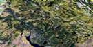
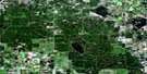
Bodmin Satellite Image Map
Download Free Aerial Photo 073G15 at 1:50,000 scale
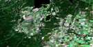
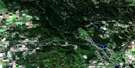
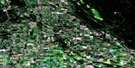
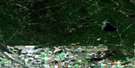
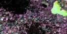
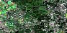
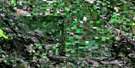
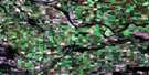
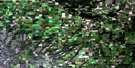
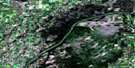
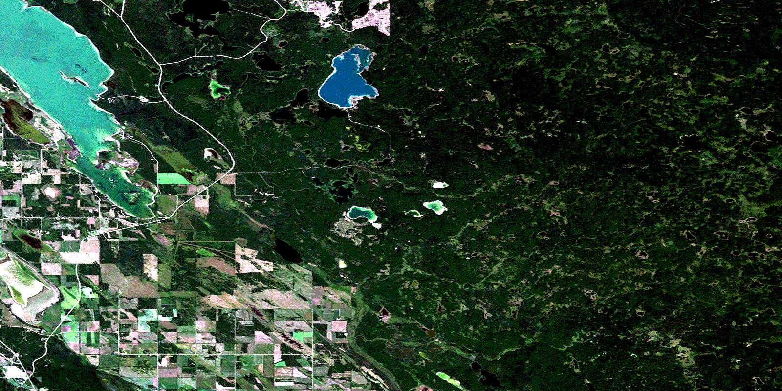
Bodmin Satellite Imagery
To view this satellite map, mouse over the air photo on the right.
You can also download this satellite image map for free:
073G15 Bodmin high-resolution satellite image map.
Maps for the Bodmin aerial map sheet 073G15 at 1:50,000 scale are also available in these versions:
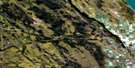
Bodmin Surrounding Area Aerial Photo Maps
 |
 |
 |
 |
 |
 |
 |
 |
 |
 |
 |
 |
 |
 |
 |
 |
© Department of Natural Resources Canada. All rights reserved.
Bodmin Gazetteer
The following places can be found on satellite image map 073G15 Bodmin:
Bodmin Satellite Image: Bays
Hay BayStraight Bay
Bodmin Satellite Image: Capes
Maria PointBodmin Satellite Image: Hamlets
Nesslin LakePhillips Beach
Phillips Grove
Bodmin Satellite Image: Islands
Delaronde IslandNesslin Island
Zigzag Island
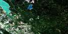
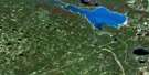
Bodmin Satellite Image: Lakes
Bog LakeCabin Lake
Camp Lake
Crossman Lake
Delaronde Lake
Doucet Lakes
Erickson Lake
High Lake
Jeep Lake
Kiyam Lake
Ladder Lake
Little Nesslin Lake
Millpond Lake
Moonlight Lake
Morrier Lake
Muhekun Lake
Mukasew Lake
Ness Lakes
Nesslin Lake
Osimisk Lake
Pakwaw Lake
Panter Lake
Parish Lake
Peyasew Lake
Question Mark Lake
Rabbitskin Lake
Shoeman Lake
Shore Lake
Snare Lake
Stinking Lake
Swede Lake
Tie Lake
Top Lake
Tower Lake
Bodmin Satellite Image: Mountains
Waskesiu HillsBodmin Satellite Image: Other municipal/district area - miscellaneous
Big River No. 555Bodmin Satellite Image: Conservation areas
Delaronde Lake (Zig Zag Bay) Recreation SiteNess Lake Recreation Site
Nesslin Lake Recreation Site
Parc national du Canada de Prince Albert
Prince Albert National Park of Canada
Top Lake Recreation Site
Bodmin Satellite Image: Rivers
Big RiverCabin Creek
Crossman Creek
Ladder Creek
Little Lakes Creek
Lofthouse Brook
Lost Creek
Maria Creek
Muhekun Creek
Ness Creek
Nesslin Creek
Parish Creek
Sturgeon River
Tie Creek
Tower Creek
Bodmin Satellite Image: Unincorporated areas
BodminLadder Valley
© Department of Natural Resources Canada. All rights reserved.
