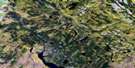
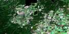
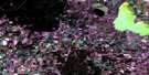
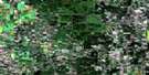
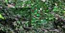
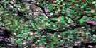
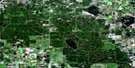
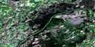
Leoville Satellite Image Map
Download Free Aerial Photo 073G12 at 1:50,000 scale
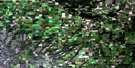
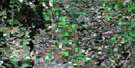
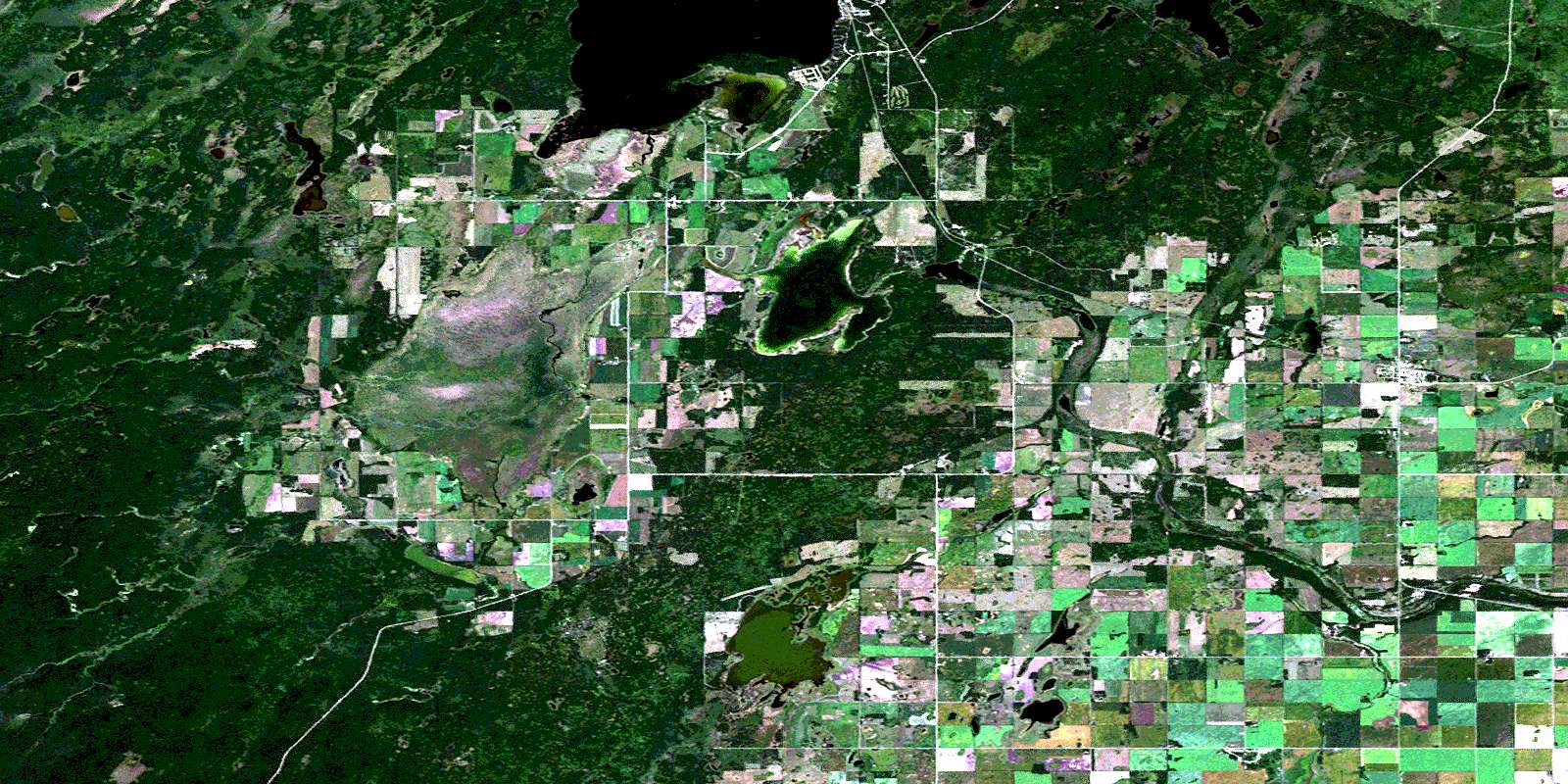
Leoville Satellite Imagery
To view this satellite map, mouse over the air photo on the right.
You can also download this satellite image map for free:
073G12 Leoville high-resolution satellite image map.
Maps for the Leoville aerial map sheet 073G12 at 1:50,000 scale are also available in these versions:
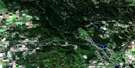
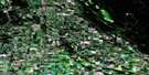
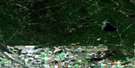
Leoville Surrounding Area Aerial Photo Maps
 |
 |
 |
 |
 |
 |
 |
 |
 |
 |
 |
 |
 |
 |
 |
 |
© Department of Natural Resources Canada. All rights reserved.
Leoville Gazetteer
The following places can be found on satellite image map 073G12 Leoville:
Leoville Satellite Image: Indian Reserves
Chitek Lake 191Pelican Lake 191A
Pelican Lake 191B
Witchekan Lake 117
Leoville Satellite Image: Islands
Billings IslandLeoville Satellite Image: Lakes
Albert LakeArmstrong Lake
Barnes Lake
Chitek Lake
Deep Lake
Edward Lake
Gagne Lake
Lac Huard
Movingstone Lake
Roy Lake
Sandy Lake
Smith Lake
Twinbay Lake
Witchekan Lake
Leoville Satellite Image: Other municipal/district area - miscellaneous
Big River No. 555Meadow Lake No. 588
Medstead No. 497
Spiritwood No. 496
Leoville Satellite Image: Conservation areas
Northern Provincial ForestLeoville Satellite Image: Rivers
Barnes CreekBig River
Proudfoot Creek
Robinson Creek
Roy Brook
Leoville Satellite Image: Unincorporated areas
JunorPanton
Penn
Ranger
Witchekan
Leoville Satellite Image: Villages
Chitek LakeLeoville
© Department of Natural Resources Canada. All rights reserved.
