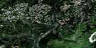
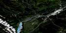
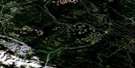
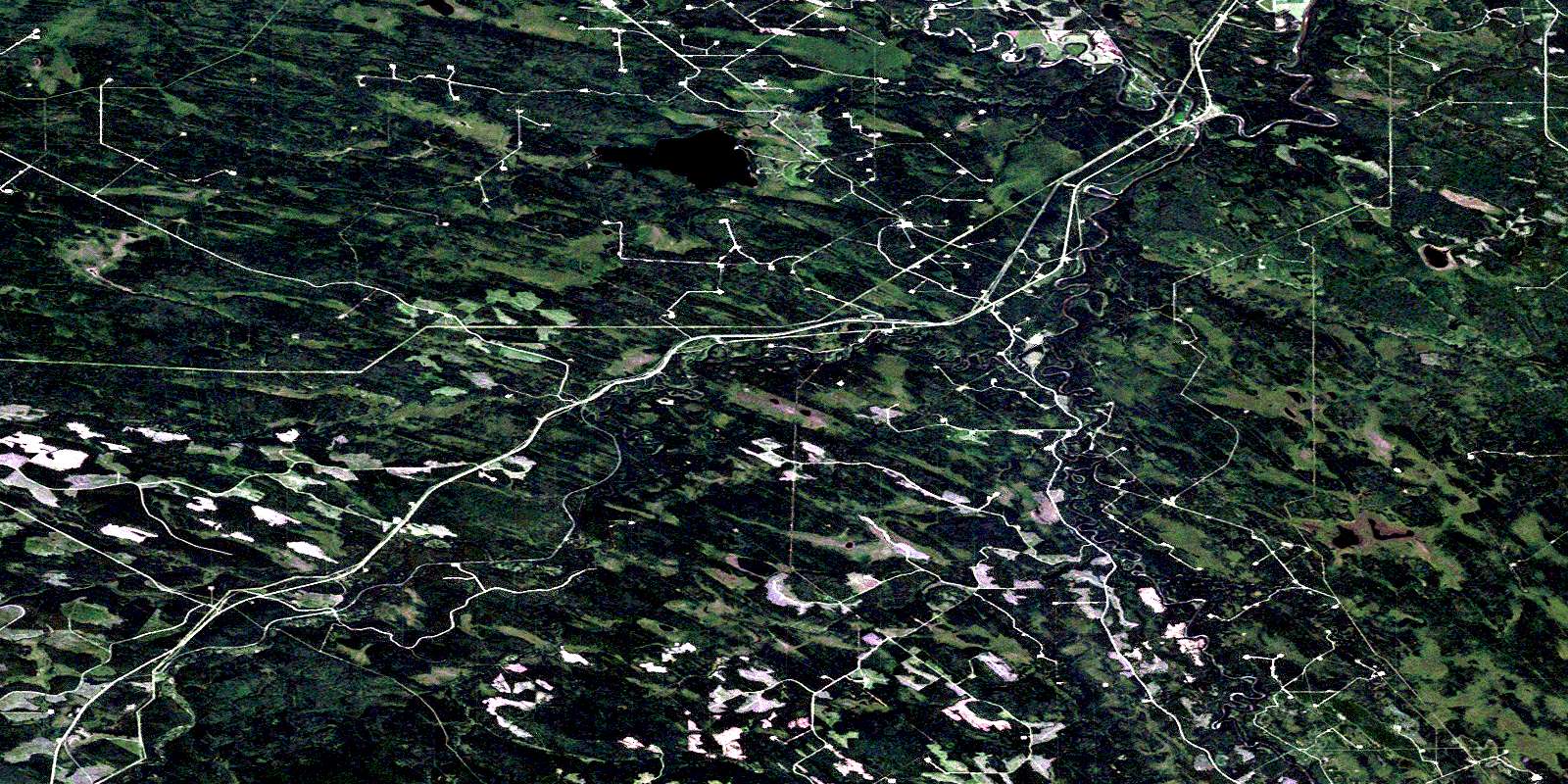
Erith Satellite Image Map
Download Free Aerial Photo 083F07 at 1:50,000 scale
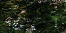
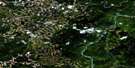
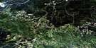
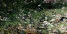
Erith Satellite Imagery
To view this satellite map, mouse over the air photo on the right.
You can also download this satellite image map for free:
083F07 Erith high-resolution satellite image map.
Maps for the Erith aerial map sheet 083F07 at 1:50,000 scale are also available in these versions:
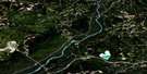
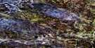
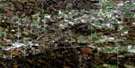
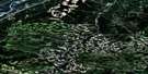
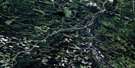
Erith Surrounding Area Aerial Photo Maps
 |
 |
 |
 |
 |
 |
 |
 |
 |
 |
 |
 |
 |
 |
 |
 |
© Department of Natural Resources Canada. All rights reserved.
Erith Gazetteer
The following places can be found on satellite image map 083F07 Erith:
Erith Satellite Image: Lakes
Fickle LakeRowan Lake
Erith Satellite Image: Major municipal/district area - major agglomerations
Municipal District of Yellowhead No. 94Yellowhead County
Erith Satellite Image: Rivers
Baril CreekEmbarras River
Erith River
Lambert Creek
McLeod River
McNeill Creek
Mitchell Creek
Prest Creek
Raven Creek
Rodney Creek
Swartz Creek
Erith Satellite Image: Unincorporated areas
EmbarrasErith
McLeod River
Oke
Weald
© Department of Natural Resources Canada. All rights reserved.
