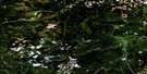
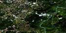
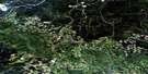
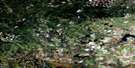
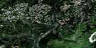
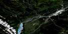
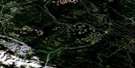
Dalehurst Satellite Image Map
Download Free Aerial Photo 083F11 at 1:50,000 scale
Dalehurst Satellite Imagery
To view this satellite map, mouse over the air photo on the right.
You can also download this satellite image map for free:
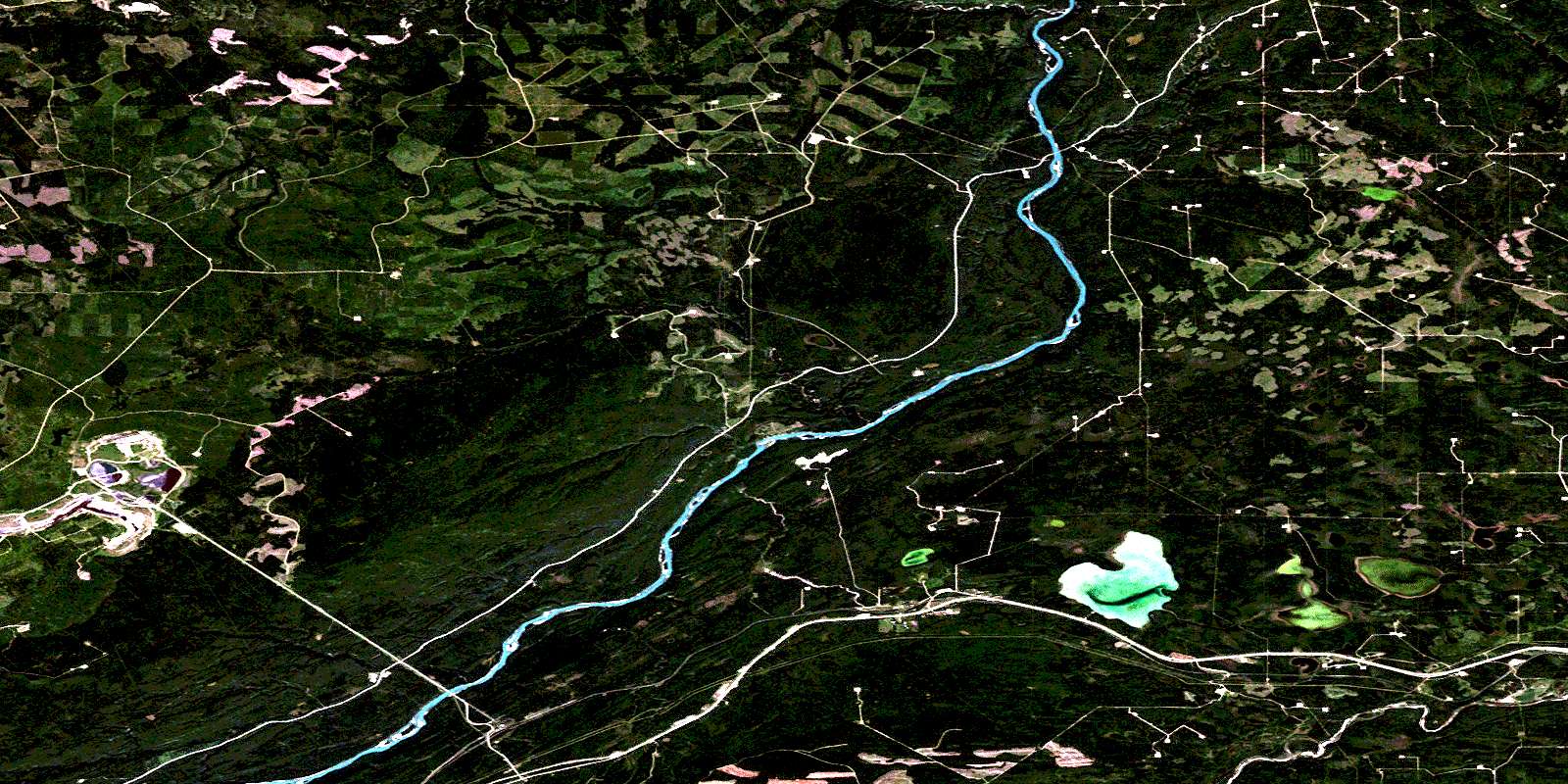
083F11 Dalehurst high-resolution satellite image map.
Maps for the Dalehurst aerial map sheet 083F11 at 1:50,000 scale are also available in these versions:
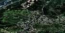
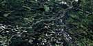
Dalehurst Surrounding Area Aerial Photo Maps
 |
 |
 |
 |
 |
 |
 |
 |
 |
 |
 |
 |
 |
 |
 |
 |
© Department of Natural Resources Canada. All rights reserved.
Dalehurst Gazetteer
The following places can be found on satellite image map 083F11 Dalehurst:
Dalehurst Satellite Image: Lakes
Eccles PondEmerson Lakes
Little Sundance Lake
Marsh Lake
Obed Lake
Sundance Lake
Dalehurst Satellite Image: Major municipal/district area - major agglomerations
Municipal District of Yellowhead No. 94Yellowhead County
Dalehurst Satellite Image: Rivers
Apetowun CreekAthabasca River
Athabaska River
Baseline Creek
Canyon Creek
Felix Creek
Gorge Creek
Marsh Creek
McLeod River
Obed Creek
Oldman Creek
Plante Creek
Ponoka Creek
Rivière Athabasca
Rooster Creek
Sandstone Creek
Dalehurst Satellite Image: Unincorporated areas
DalehurstHargwen
Medicine Lodge
Obed
© Department of Natural Resources Canada. All rights reserved.
