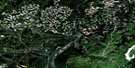
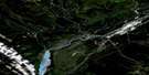
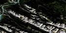
Gregg Lake Satellite Image Map
Download Free Aerial Photo 083F12 at 1:50,000 scale
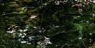
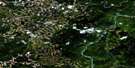
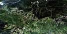
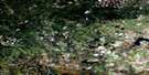
Gregg Lake Satellite Imagery
To view this satellite map, mouse over the air photo on the right.
You can also download this satellite image map for free:
083F12 Gregg Lake high-resolution satellite image map.
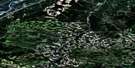
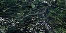
Maps for the Gregg Lake aerial map sheet 083F12 at 1:50,000 scale are also available in these versions:
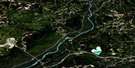
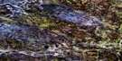
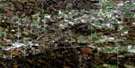
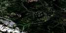
Gregg Lake Surrounding Area Aerial Photo Maps
 |
 |
 |
 |
 |
 |
 |
 |
 |
 |
 |
 |
 |
 |
 |
 |
© Department of Natural Resources Canada. All rights reserved.
Gregg Lake Gazetteer
The following places can be found on satellite image map 083F12 Gregg Lake:
Gregg Lake Satellite Image: Lakes
Dunn LakeGraveyard Lake
Gregg Lake
Petite Lake
Gregg Lake Satellite Image: Major municipal/district area - major agglomerations
Municipal District of Yellowhead No. 94Yellowhead County
Gregg Lake Satellite Image: Conservation areas
Entrance Provincial ParkWilliam A. Switzer Provincial Park
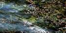
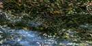
Gregg Lake Satellite Image: Rivers
Barbara CreekBaseline Creek
Canyon Creek
Clyde Creek
Fish Creek
Hightower Creek
Ice Water Creek
Jarvis Creek
Maria Creek
Moberly Creek
Oldman Creek
Pinto Creek
Twelve Mile Creek
Wildcat Creek
Wildhay River
Winter Creek
Wroe Creek
Gregg Lake Satellite Image: Unincorporated areas
Wild Hay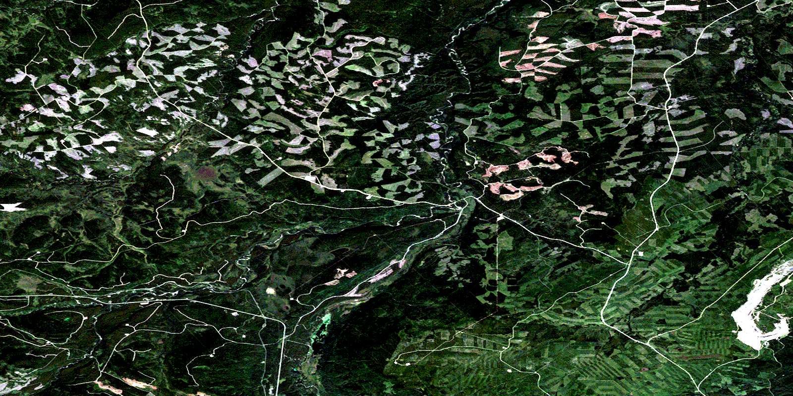
© Department of Natural Resources Canada. All rights reserved.
