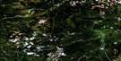
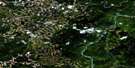
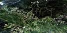
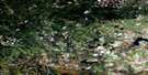
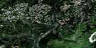
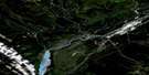
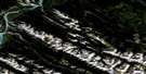
Entrance Satellite Image Map
Download Free Aerial Photo 083F05 at 1:50,000 scale
Entrance Satellite Imagery
To view this satellite map, mouse over the air photo on the right.
You can also download this satellite image map for free:
083F05 Entrance high-resolution satellite image map.
Maps for the Entrance aerial map sheet 083F05 at 1:50,000 scale are also available in these versions:
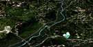
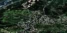
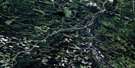
Entrance Surrounding Area Aerial Photo Maps
 |
 |
 |
 |
 |
 |
 |
 |
 |
 |
 |
 |
 |
 |
 |
 |
© Department of Natural Resources Canada. All rights reserved.
Entrance Gazetteer
The following places can be found on satellite image map 083F05 Entrance:
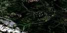
Entrance Satellite Image: Lakes
Blue LakeBrûlé Lake
Cache Lake
Graveyard Lake
Jarvis Lake
Kia Nea Lake
Kinky Lake
Maxwell Lake
Peach Lake
Peppers Lake
Rat Lake
Thompson Lake
Wildhorse Lakes
Entrance Satellite Image: Military areas
Champ de manoeuvre Jarvis LakeJarvis Lake Training Area
Entrance Satellite Image: Mountains
Bedson RidgeBlack Cat Mountain
Boule Range
Boule Roche
Brûlé Hill
Cap Ridge
Errington Hill
High Divide Ridge
Moberly Hill
Montagnes Rocheuses
Mount Solomon
Rocky Mountain Foothills
Rocky Mountains
Seabolt Ridge
Entrance Satellite Image: Major municipal/district area - major agglomerations
Municipal District of Yellowhead No. 94Yellowhead County
Entrance Satellite Image: Other municipal/district area - miscellaneous
Improvement District No. 12Improvement District No. 14
Improvement District No. 97
Yellowhead Improvement District No. 14
Entrance Satellite Image: Conservation areas
Entrance Provincial ParkJasper National Park of Canada
Parc national du Canada Jasper
William A. Switzer Provincial Park
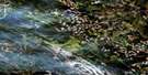
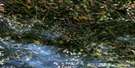
Entrance Satellite Image: Rivers
Anderson CreekAthabasca River
Athabaska River
Brown Creek
Cache Percotte Creek
Canyon Creek
Caywood Creek
Centre Creek
Cold Creek
Fish Creek
Girvan Creek
Happy Creek
Hardisty Creek
Ice Water Creek
Jarvis Creek
Levi Creek
Marl Creek
Maskuta Creek
Moosehorn Creek
Oldhouse Creek
Orchard Creek
Paradise Creek
Peppers Creek
Powder Creek
Prine Creek
Rivière Athabasca
Scovil Creek
Seabolt Creek
Sheba Creek
Solomon Creek
Still Creek
Supply Creek
Teepee Creek
Tiecamp Creek
Twelve Mile Creek
West Solomon Creek
Whiskeyjack Creek
Wigwam Creek
Wildhay River
Winter Creek
Entrance Satellite Image: Towns
HintonEntrance Satellite Image: Unincorporated areas
BrûléBrûlé Mines
Drinnan
Entrance
Hinton Collieries
Old Entrance
Solomon
Swan Landing
Entrance Satellite Image: Villages
Drinnan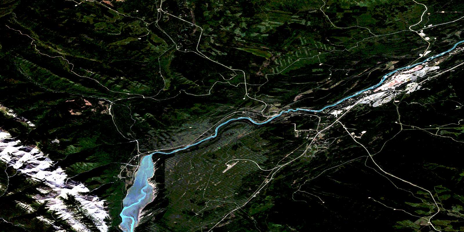
© Department of Natural Resources Canada. All rights reserved.
