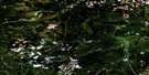
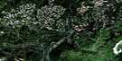
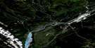
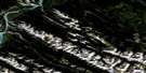
Cadomin Satellite Image Map
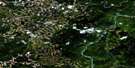
Download Free Aerial Photo 083F03 at 1:50,000 scale
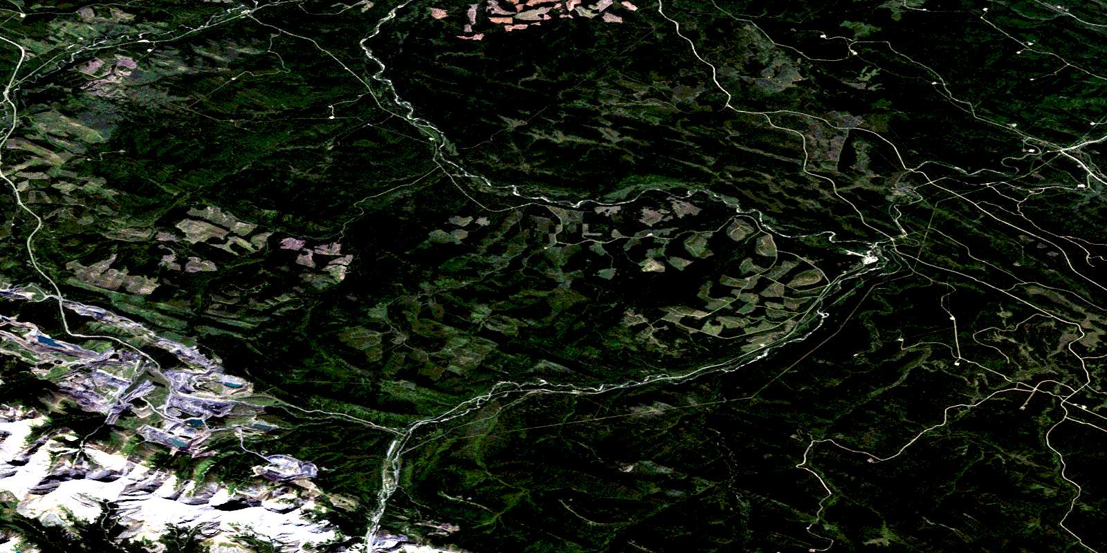
Cadomin Satellite Imagery
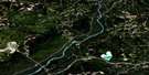
To view this satellite map, mouse over the air photo on the right.
You can also download this satellite image map for free:
083F03 Cadomin high-resolution satellite image map.
Maps for the Cadomin aerial map sheet 083F03 at 1:50,000 scale are also available in these versions:
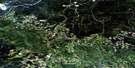
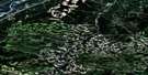
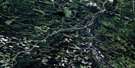
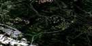
Cadomin Surrounding Area Aerial Photo Maps
 |
 |
 |
 |
 |
 |
 |
 |
 |
 |
 |
 |
 |
 |
 |
 |
© Department of Natural Resources Canada. All rights reserved.
Cadomin Gazetteer
The following places can be found on satellite image map 083F03 Cadomin:
Cadomin Satellite Image: Lakes
Mary Gregg LakeCadomin Satellite Image: Mountains
Leyland MountainLuscar Mountain
Mount Berry
Mount Gregg
Mount Mary-Jean
Mount Sir Harold Mitchell
Nikanassin Range
Rocky Mountain Foothills
Cadomin Satellite Image: Major municipal/district area - major agglomerations
Municipal District of Yellowhead No. 94Yellowhead County
Cadomin Satellite Image: Other municipal/district area - miscellaneous
Improvement District No. 12Yellowhead Improvement District No. 14
Cadomin Satellite Image: Conservation areas
Jasper National Park of CanadaParc national du Canada Jasper
Cadomin Satellite Image: Rivers
Antler CreekBarclay Creek
Beaverdam Creek
Berry's Creek
Bryan Creek
Chance Creek
Chief Creek
Deerlick Creek
Drinnan Creek
Dummy Creek
Embarras River
Erickson Creek
Eunice Creek
Felton Creek
Gregg River
Jackson Creek
Little MacKenzie Creek
Lost Creek
Luscar Creek
MacKenzie Creek
Mary Gregg Creek
McCardell Creek
McLeod River
Mercoal Creek
Rainbow Creek
Sphinx Creek
Taylor Creek
Teepee Creek
Thompson Creek
Trapper Creek
Wampus Creek
Warden Creek
Watson Creek
White Creek
Cadomin Satellite Image: Unincorporated areas
CadominCoalspur
Fidler
Kaydee
Leyland
Luscar
Mercoal
Shaw
Steeper
© Department of Natural Resources Canada. All rights reserved.
